Farmers Use GPS: 7 Ways GPS Makes Farming Easier in 2025 & Beyond
“Over 70% of modern tractors now feature GPS guidance, drastically reducing overlaps and wasted seed during planting.”
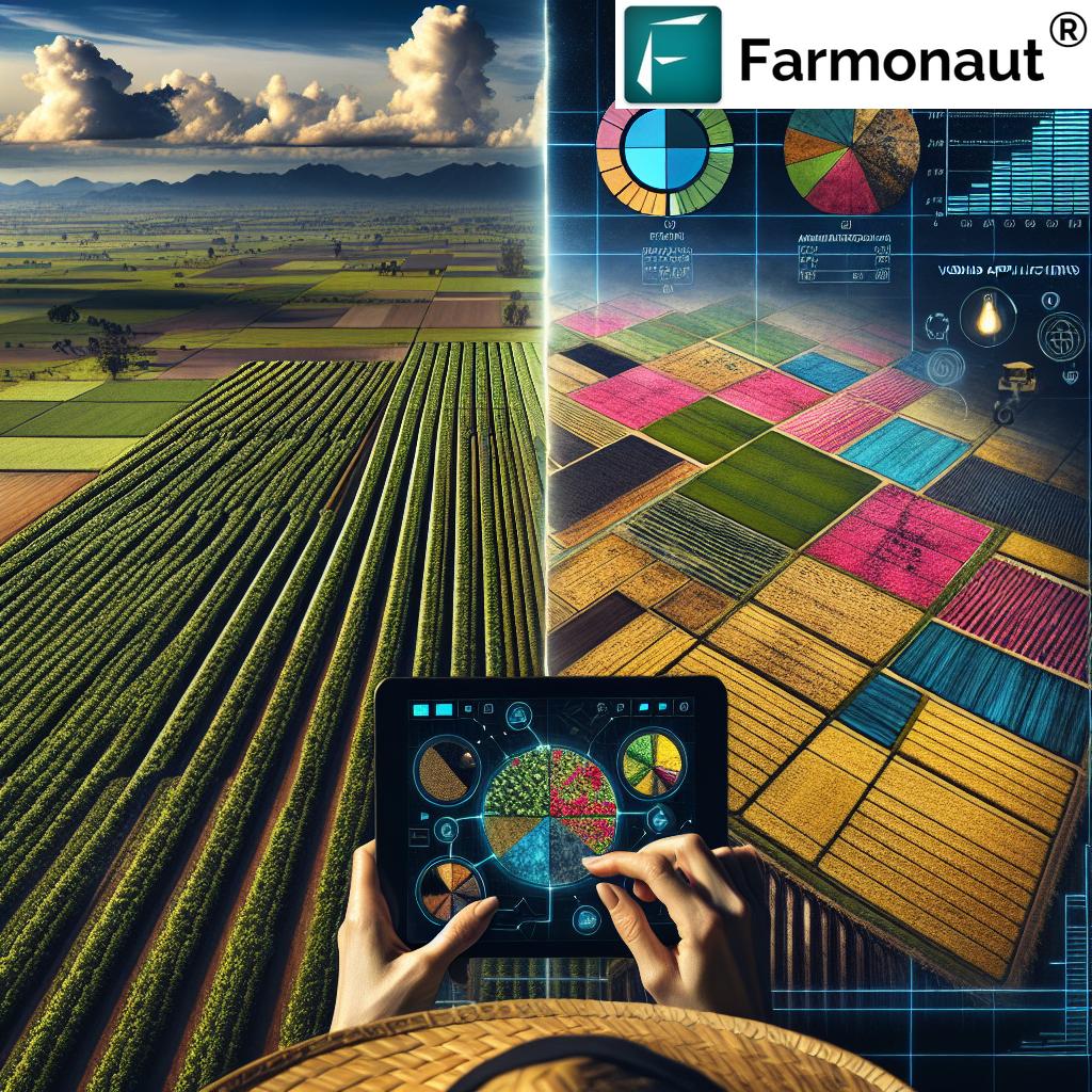
Introduction: Farmers Use GPS in Modern Agriculture
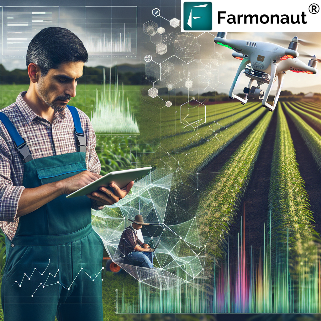
In the rapidly evolving landscape of modern agriculture, leveraging GPS technology has fundamentally revolutionized farming worldwide by 2025. Farmers use GPS to make their job easier, expanding precision, efficiency, and sustainability across all aspects of crop management. With the integration of powerful GPS systems, technologies like AI, IoT, and satellite-driven analytics, farmers are now managing their land and resources more effectively than ever before.
This in-depth guide uncovers the 7 ways GPS makes farming easier, supported by the latest trends, transformative applications, and cutting-edge tools such as those developed by Farmonaut—the satellite technology leader in agriculture and remote crop monitoring.
Trivia: Rapid GPS Adoption in Modern Farming
“GPS-controlled field mapping can improve fertilizer application accuracy by up to 20%, optimizing yield and resource use.”
How Farmers Use GPS to Make Their Job Easier
Let’s get right to the core: how do farmers use GPS to make their job easier? In traditional agricultural practices, farmers relied heavily on manual observation, decades of experience, and often labor-intensive tasks to manage fields and resources. This approach could lead to inefficiencies like uneven seeding, excessive use of fertilizers, poor irrigation, and ultimately, wasted potential yield.
By integrating GPS positioning systems into nearly every step of the farm cycle, today’s farmers benefit from:
- Unparalleled accuracy in field mapping and navigation
- Data-driven management of soil, water, and crop health
- Automated, hands-off precision agriculture via auto-steering machinery
- Optimized input usage—minimizing waste, reducing costs, and supporting sustainability
- Enhanced ability to monitor and react to changing weather or moisture levels
- Streamlined record keeping and advanced analytics
- Access to smart technologies—drones, AI-driven decision tools, and cloud-based farm management software
The Role of GPS Technology in Precision Agriculture (2025 & Beyond)
In 2025 and the years ahead, the integration of GPS, satellite, and AI technologies will define precision agriculture globally. GPS technology is now a fundamental component of how farmers execute critical field tasks—from soil health analysis and mapping to fully autonomous machinery operations. This high degree of accuracy and efficiency is transforming not just crop yields and resource optimization, but also the way farmers approach sustainable, data-driven farming.
7 Ways GPS Makes Farming Easier
Let’s break down the seven most significant ways that GPS and positioning systems are re-shaping farming for farmers across the globe:
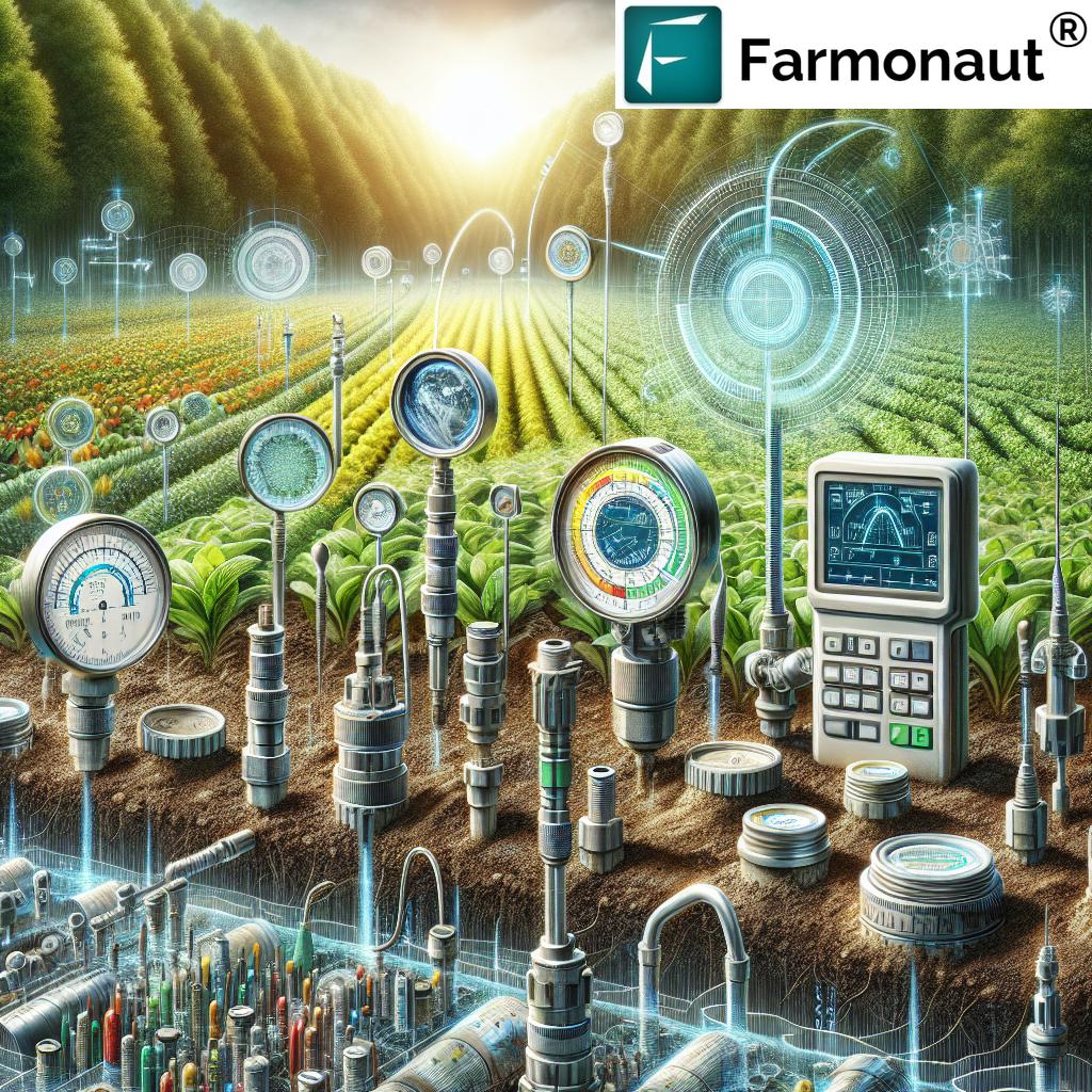
1. Accurate Field Mapping & Soil Analysis
GPS offers farmers unparalleled accuracy in mapping their fields and assessing soil health. Using handheld GPS devices and satellite imagery, farmers can generate precise maps of land boundaries, identify field variations, and monitor soil conditions to detect issues such as erosion, compaction, or poor drainage. This detailed knowledge is vital for site-specific management—enabling farmers to focus resources only where they are needed, minimizing waste, and enhancing environmental benefits.
- Field mapping supports the optimization of planting patterns, zoning areas for fertilizer application, and identifying sections of fields at risk for poor crop performance.
- Integrated soil moisture analysis with GPS helps in adjusting irrigation schedules and understanding where water is needed most.
Cost savings: By knowing exactly where and how much to plant, fertilize, or water, farmers eliminate unnecessary input usage—translating to significant financial and environmental benefits.
Our advanced large-scale farm management platform empowers users to seamlessly interpret GPS-based field and soil data, offering actionable insights for better decision-making and improved yields.
2. Auto-Steering & Machinery Guidance
One of the most transformative GPS applications in recent years is auto-steering for tractors and farm machinery. With centimeter-level accuracy, GPS-enabled equipment can:
- Guide machinery along optimal paths across a field, minimizing overlaps and missed sections during planting, fertilizing, or harvesting.
- Automate monotonous or labor-intensive tasks, freeing the operator to monitor performance and make on-the-fly adjustments.
- Operate seamlessly in low visibility or at night, extending working hours and ensuring timely completion of field operations.
Reduced fuel consumption, labor costs, and soil compaction are among the direct benefits, as precise navigation means fewer passes are needed, resulting in less wear on both land and equipment.
We provide smart fleet and resource management tools to help large and small agribusinesses reduce operational costs, optimize vehicle usage, and maintain their equipment efficiently with the power of GPS and satellite technology.
3. Precision Planting & Seeding
Precision planting ensures every seed lands exactly where it’s most likely to thrive. With GPS-guided tractors and automated seeding equipment, farmers can:
- Reduce overlaps and missed spots, maximizing field coverage and promoting uniform crop growth.
- Adapt seeding rates to different parts of a field, responding to known soil variations and moisture levels.
- Conserve resources by preventing excessive use of seeds and associated inputs.
This level of accuracy not only optimizes yields, but also minimizes waste—supporting more sustainable agricultural practices.
4. Variable Rate Fertilizer & Input Application
Rather than relying on blanket applications, GPS technology enables variable rate application of fertilizers, pesticides, and other vital inputs. Here’s how:
- GPS-guided spreaders and sprayers accurately distribute exactly the right amount of product based on field-specific data.
- By targeting only the areas that need treatment, farmers save on input costs and reduce the risk of chemical runoff into local ecosystems.
- Enhanced resource management boosts crop quality and yields while aligning with environmental sustainability goals.
Precision input applications are a cornerstone of sustainable agriculture, translating into better productivity, cost savings, and reduced environmental impact.
We empower growers and agri-enterprises to track input utilization at scale. Our carbon footprinting platform helps measure and minimize the environmental footprint across the supply chain using GPS and satellite insights.
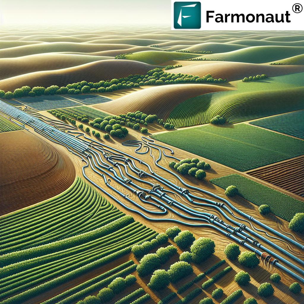
5. GPS-Enabled Irrigation & Water Resource Optimization
Water is one of the most critical resources in agriculture. GPS-guided irrigation systems empower farmers to:
- Precisely apply water only where and when it is needed, using real-time satellite and field condition data.
- Respond rapidly to changing weather conditions or moisture levels—guaranteeing crop health and strong yields, even in challenging environments.
- Prevent over-irrigation (which could lead to poor root development) and minimize waste in water-scarce regions.
Our crop plantation, forest advisory & water optimization platform leverages GPS, AI, and satellite insights to guide optimal irrigation strategies—improving productivity and conserving water for future generations.
6. Drone-Based Mapping, Monitoring, & Crop Health Assessments
The marriage of GPS and drones has changed the way farmers monitor crops and diagnose problems.
- Drones equipped with GPS and multispectral cameras fly programmed routes, conducting visual and thermal surveys across an entire field.
- Instantly spot variations in crop health, moisture levels, or pest/disease stress for timely interventions.
- Collect, store, and analyze high-resolution data to generate detailed maps—pinpointing problematic areas and tracking changes over time.
Such precision mapping accelerates decision-making, optimizes input usage, and increases productivity by ensuring every square meter of land is managed according to need.
Our innovative drone and fleet management system gives managers a bird’s-eye view of crop health, enabling rapid identification and response to issues that could hinder yields.
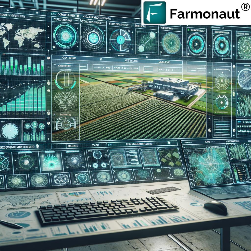
7. Farm Management, Analytics, & Integration with AI/IoT
Beyond direct fieldwork, GPS is at the heart of smart farm management systems—especially as satellite, AI, and IoT technologies converge. Farmers benefit from:
- Real-time tracking of equipment, labor, and input usage for complete operational oversight.
- Instant access to historical data and advanced analytics for planning, forecasting, and compliance.
- Seamless connection with emerging technologies like autonomous tractors, AI-powered advisory tools, and sustainability-tracking applications.
- Easy integration with blockchain-based platforms to improve traceability and transparency across the food supply chain.
Our unique satellite and weather API gives developers and ag-tech businesses programmatic access to satellite insights, supporting seamless integration with any farm management system or platform.


Developers and enterprises wishing to connect directly can access our comprehensive API to unlock GPS and satellite-derived insights for automation, analytics, and more.
Farmonaut: Leading Satellite Technology in Agriculture
We at Farmonaut are committed to enabling farmers, agribusinesses, and governments worldwide to harness the power of satellite technologies, AI, blockchain, and GPS systems for smarter, more sustainable, and highly efficient agriculture. Through our cloud-based platform and mobile/web applications, users can:
- Monitor crop health (NDVI, soil moisture, environmental impact) remotely with precise GPS-anchored data
- Access real-time advisory systems driven by the JEEVN AI
- Facilitate end-to-end traceability across supply chains using blockchain
- Manage resources, fleets, equipment, and labor with geotagged tracking
- Integrate seamlessly with API-driven solutions for custom analytics and automation needs
- Track and reduce carbon footprint with environmental impact monitoring
- Support financial workflows with satellite-based verification for crop loans and insurance
Our modular approach serves both individual users and large-scale operators, removing cost barriers and driving digital transformation in agriculture, mining, and infrastructure sectors globally.
Benefits Comparison Table: How GPS Transforms Farming
| GPS Application | How It Works | Estimated Benefit | Potential Productivity Gain (%) |
|---|---|---|---|
| Field Mapping & Soil Analysis | Maps elevations, soil health, and variations to inform planting and input management | Reduces input use; precise treatments; decreased environmental impact | +10–15% |
| Auto-Steering & Guidance | GPS-guided paths prevent overlaps; automate machinery operation | Labor & fuel savings; uniform crop rows; less soil compaction | +20–30% |
| Precision Planting & Seeding | Consistent seed placement based on GPS-defined grids | Improved emergence rates; reduced costs; enhanced yields | +10–20% |
| Variable Rate Input Application | Guided application of fertilizers & chemicals according to field zones | Increased efficiency; less runoff; optimized input use | +15–20% |
| GPS-Enabled Irrigation | Pinpoint water needs by moisture mapping & targeted scheduling | Reduced water waste; healthier crops; resilience to drought | +10–25% |
| Drone & Satellite Mapping | Frequent field monitoring and rapid data collection with geotagged images | Early problem detection; targeted interventions; less scouting labor | +10–18% |
| Farm Management, Analytics & AI | Integrated farm data management powered by GPS, AI, and IoT | Improved planning; compliance; higher profitability | +18–28% |
FAQ: Farmers Use GPS in Modern Agriculture
Q1: Why do farmers use GPS technology, and how does it make their job easier?
Farmers use GPS to make their job easier by enabling accurate field mapping, automating machinery, optimizing input application, improving irrigation, and delivering precise data for crop management. This approach optimizes resources, reduces waste, boosts yields, and supports sustainable agriculture.
Q2: What are the main applications of GPS in modern farming?
The primary uses include field mapping, auto-steering of machinery, variable-rate input application, precision planting, GPS-guided irrigation, drone-based mapping, and integration with AI-driven analytics and farm management software.
Q3: How does GPS help reduce costs and support sustainability?
By enabling site-specific management, minimizing fuel and labor costs, reducing excessive use of fertilizers and water, and facilitating early detection of issues, GPS systems reduce costs and drive efficient, sustainable agricultural practices.
Q4: What role does Farmonaut play in GPS-driven agriculture?
We at Farmonaut provide advanced satellite, AI, and GPS-powered solutions for crop monitoring, resource management, traceability, and sustainability tracking—making precision agriculture affordable and accessible to farmers, businesses, and governments worldwide.
Q5: How can developers or organizations use Farmonaut’s GPS-enabled API?
Our comprehensive API and developer docs allow seamless integration of GPS and satellite insights into any farm management, analytics, or agri-tech platform.
Q6: Does GPS help in compliance and traceability?
Yes. GPS-powered monitoring and blockchain traceability platforms ensure accurate record-keeping, regulatory compliance, and transparency across the entire agri-food supply chain.
Conclusion: The Future of GPS-Driven Agriculture
As we move deeper into the 2025 era and beyond, GPS technology is no longer optional, but rather a fundamental tool that enables farmers to meet the challenges of a growing population, climate uncertainties, and stringent sustainability demands. Farmers use GPS to make their job easier, optimizing fieldwork, inputs, and outputs while driving higher yields, greater resource efficiency, and stronger environmental stewardship.
Whether through precision planting, variable rate fertilization, or AI-powered irrigation systems, the integration of GPS and satellite technology—championed by innovators like Farmonaut—is ensuring that agriculture remains resilient, profitable, and sustainable for generations to come.
Affordable Subscriptions: Start Using Farmonaut for GPS-Driven Insights
Experience the future of agriculture with our cost-effective, modular subscription plans. Designed for everyone—from individual farmers and agri-business owners to government and enterprise clients—our platform brings real-time GPS, satellite, and AI insights to your fingertips.