Topography in Agriculture: 5 Key Effects on 2025 Farming
“In 2025, precision topography mapping can boost crop yields by up to 15% on sloped farmlands.”
Table of Contents
- What Is Topography in Agriculture?
- Defining Topography in Agriculture
- Types of Topography in Agriculture
- 5 Key Effects of Topography on 2025 Farming
- Comparative Table: Topography’s Impact in 2025
- Modern Tools & Technology for Topography in Agriculture (2025)
- Farmonaut’s Approach to Topography and Farm Management
- FAQ: Topography in Agriculture (2025)
- Conclusion: The Future of Topography Agriculture
Topography in agriculture is a foundational aspect of successful farming and forestry. The physical features of land—such as slopes, elevation, valleys, plateaus, and the arrangement of both natural and artificial features—directly influence soil formation, drainage, crop suitability, and the efficiency of sustainable management practices.
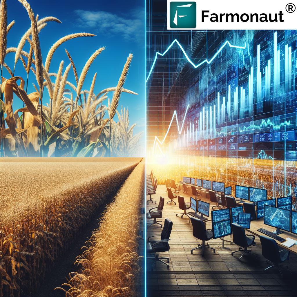
As we look toward 2025, the role of topography agriculture is accelerating. Modern technologies like satellite-based mapping, AI, and remote sensing are dramatically transforming how farmers, agribusinesses, and land managers understand and utilize their terrain for maximum productivity and sustainability.
What Is Topography in Agriculture?
Topography in agriculture refers to how the shape and features of land—including elevation, slope, gradient, orientation, and surface characteristics—affect the way farming activities are conducted. Topography directly impacts water flows, how soil develops, crop growth, erosion risk, and more.
In practical terms, understanding what is topography in agriculture means recognizing how hills, valleys, plateaus, and plains mold the suitability of land for specific crops, plantations, or forestry. This crucial understanding is central to optimizing yields, reducing waste, and achieving sustainable land management as we advance into 2025.
Defining Topography in Agriculture: A Comprehensive Overview
To define topography in agriculture is to describe the “lay of the land”—the sum of its hills, slopes, valleys, orientations, and surfaces—along with the artificial features we add, like terraces or drainage canals. Its agricultural definition encompasses not just visible features, but also their influence on farming operations and productivity.
The understanding of topography is vital for:
- Choosing suitable crops and timings for planting
- Designing terraces or drainage systems to control erosion and runoff
- Mapping land for resource-efficient and climate resilient agriculture
In modern agriculture, topography is commonly mapped using contour lines, digital elevation models, GIS, and remote sensing technologies. These tools help agricultural professionals identify zones within fields that may require different management practices.


Access real-time land mapping, topography insights, and satellite farm management tools with Farmonaut—now on Web, Android, and iOS. Make topography work for you in 2025:
Types of Topography in Agriculture: Features, Characteristics & Suitability
Topography agriculture is best understood by examining its main types. Each type of topography in agriculture presents unique opportunities and challenges. Here we outline the five principal forms that farmers and agricultural professionals encounter in 2025:
-
Flat or Level Land
- This terrain has minimal slope, making it ideal for large-scale cropping and mechanization.
- Flat areas typically reduce erosion risks but may require drainage systems to prevent waterlogging.
- Suitable for wheat, maize, soybeans, and rice—crops that thrive in even, well-irrigated lands.
-
Undulating or Rolling Land
- Characterized by gentle slopes alternating with rises and dips (gradient).
- Good for mixed farming systems (crops and livestock), but often requires contour plowing or terracing to prevent soil erosion.
- Key crops: maize, pulses, oilseeds; also used for permanent pastures or agroforestry.
-
Hilly or Mountainous Land
- Marked by steeper slopes (sometimes >15% gradient), elevation changes, and runoff issues.
- Agroforestry, orchards, terracing, and soil conservation practices are common.
- Crops: tea, coffee, spices; also used for forestry and permanent plantations.
-
Valleys and Depressions
- Low-lying areas with higher water accumulation.
- Extremely productive for wetland crops like paddy rice, but flooding and drainage management are central concerns.
- Also valuable for forestry plantings due to increased soil moisture.
-
Plateaus
- Elevated, relatively flat terrain with good exposure and often deep, fertile soil, if volcanic in origin.
- Good for specialized crops like grapes or certain types of grains; may require management for shallow soils and wind erosion.
- Offers a combination of flat and hilly land characteristics.
Accurately mapping these topographical types is key for modern precision agriculture and resource allocation in 2025.
5 Key Effects of Topography on 2025 Farming
The role and importance of topography in agriculture has expanded dramatically with digital transformation. Here are the five most influential ways topography shapes 2025 farming:
1. Crop Suitability and Land Productivity
- Topography directly affects which crops can thrive on a certain area. Flat and gentle slopes are best for row crops and mechanization, while steeper lands favor tree crops, agroforestry, and sustainable plantations.
- Soil depth, water retention, erosion rates, and microclimates on different terrain types guide how farmers decide the best crop for each field zone.
- Use of precision mapping tools lets farmers divide fields by topographic class, tailoring seed, water, and fertilizer input to fine-scale suitability maps.
Learn more about real-time, advanced crop health monitoring in our Large Scale Farm Management App—maximize yields by understanding your farm’s topography and microzones in 2025.
“Over 60% of new farms in 2025 use digital elevation models to optimize land use and resource allocation.”
2. Water Flow, Drainage, and Irrigation
- Topography determines the speed, direction, and pattern of water flow across land surfaces.
- On sloped lands, runoff is higher and there’s greater erosion risk; on flat or concave lands, waterlogging may occur if drainage isn’t managed.
- Modern systems employ digital terrain models to design precision irrigation, optimize drainage, and prevent soil loss by mapping flow paths and accumulation zones.
3. Soil Formation, Erosion, and Conservation Practices
- Different types of topography in agriculture lead to variation in soil depth, physical composition, and fertility.
- Steep lands lose topsoil faster to erosion; convex slopes may be drier, while depressions collect richer, deeper soil.
- Conservation strategies like contour plowing, strip cropping, agroforestry, and terracing are matched to topographic zones for sustainable resource use.
Our Carbon Footprinting Tool supports monitoring emissions and soil health in real time, helping you apply the right conservation practices for each terrain unit.
4. Mechanization and Farm Operations
- Flat lands optimize use of heavy machinery, planting, and harvesting equipment, reducing labor and enabling large-scale farming.
- Steep and irregular terrains limit mechanization, needing more manual, adapted equipment or even drone-based solutions.
- Advanced mapping and fleet optimization minimize overlap, fuel use, and risk on difficult ground.
Check out Farmonaut’s Fleet Management Suite designed for smart machine routing, especially across varying topographies.
5. Climate Adaptation and Risk Management
- Topography agriculture helps identify flood-prone, drought-prone, or erosion-prone areas—essential as climate volatility increases.
- Digital elevation models guide where to install water-harvesting, windbreaks, or select drought-tolerant varieties for exposed slopes.
- Integrating real-time weather and terrain data optimizes risk management for fields with diverse microclimates.
With our satellite-based crop loan and insurance verifications, precision topography data supports better coverage, premiums, and faster risk assessments for 2025 farmers.
Comparative Table: Topography’s Impact on Agriculture in 2025
This table summarizes current research and expert consensus on how various topographical features influence crop yield, resource efficiency, and tech suitability.
| Topographical Feature | Estimated Impact on Crop Yield (%) | Resource Optimization Potential | Suitability for Precision Mapping | Example Modern Tool |
|---|---|---|---|---|
| Gentle Slope (<8%) | +10–15%* | High | Yes | Satellite & Drone Mapping |
| Steep Slope (>15%) | -20–40% | Low–Medium | Yes | LiDAR, DEM, Terracing Models |
| Low Elevation | +5–12% | High | Yes | Remote Sensing; IoT Sensors |
| Valley/Land Depression | +3–8% (Rice, Wetland crops) | Medium | Yes | Drainage Models, DEM |
| Plateau | +6–9% | High | Yes | Satellite Imagery, Terrain AI |
*Yield optimization on gentle slopes assumes adoption of contour cropping and modern resource management.
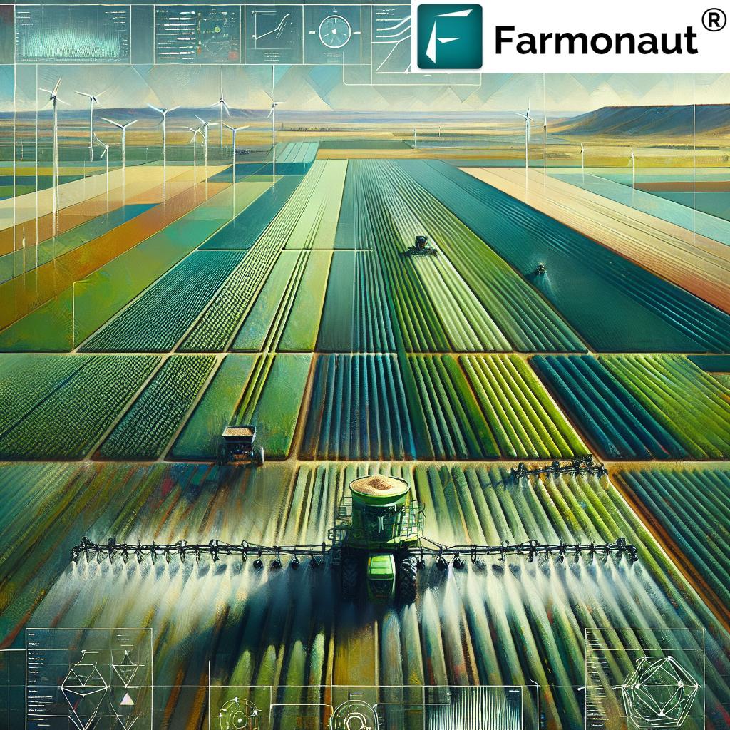
Modern Tools and Technology for Topography in Agriculture (2025)
The availability of modern technology has revolutionized topographic mapping, terrain analysis, and field management in 2025, allowing farmers and forestry professionals new levels of precision and sustainability.
Key Technologies Enhancing Topography Agriculture in 2025
- Satellite Imagery: Tracks crop health, surface water movement, and soil moisture via AI-driven analysis—real-time detection of risky slopes, waterlogging, or erosion.
- Drone Mapping: Produces high-resolution digital elevation models to map microfeatures across small and medium farms.
- GIS Platforms: Integrate topographic, soil, and land use data for comprehensive management planning and precision input application by zone.
- IoT Soil Sensors: Monitor moisture, runoff patterns, and salinity in real time.
- Contour & Drainage Simulation Software: Predict where erosion may occur or where more efficient irrigation systems are needed.
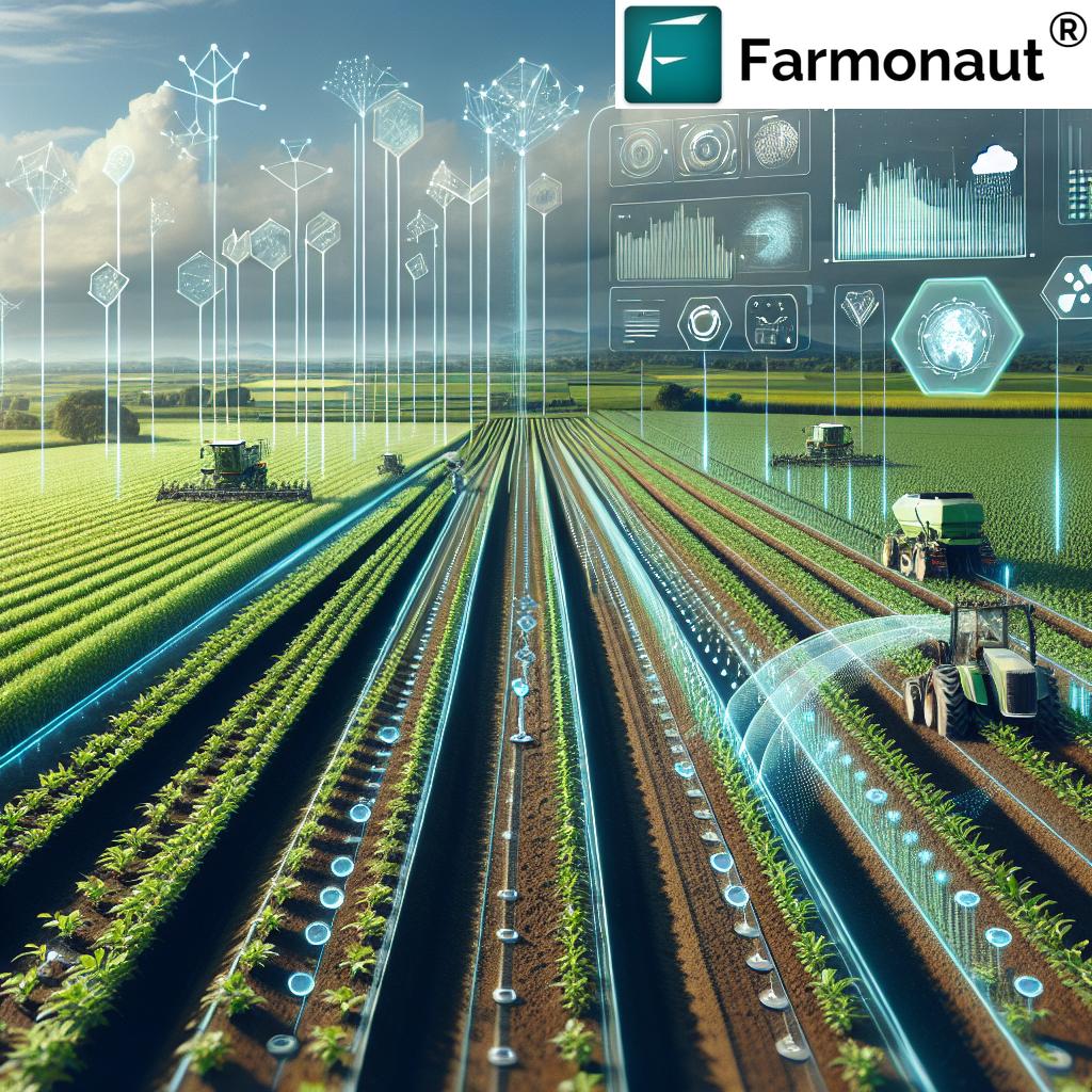
2025: Precision and Sustainability through Topography Agriculture
In 2025, the synergy between topography and these digital tools empowers site-specific resource allocation, climate-smart field management, and advanced traceability solutions. For example, Farmonaut’s Blockchain-based Product Traceability makes verifying the origin—and terrain context—of products easier and transparent for buyers and governments.
API Integration: For developers and farm tech enterprises, Farmonaut offers extensive API endpoints with real-time satellite updates, or review our API developer docs to start building integrated precision agriculture solutions.
Farmonaut’s Approach to Topography and Farm Management
At Farmonaut, our mission is to make precision topography-driven agriculture accessible, affordable, and effective for all. Here’s how our solutions directly empower modern farmers, cooperatives, and agribusinesses for 2025 and beyond:
- Real-Time Satellite Monitoring: We use multispectral satellite imagery to provide NDVI, soil moisture, and terrain analytics—enabling the identification of critical zones based on slope, elevation, or water accumulation.
- AI and Jeevn Advisory: Our Jeevn AI advisory system uses topographic and weather data to deliver personalized crop and resource management strategies tailored to each field’s unique physical surface.
- Resource & Fleet Management: From monitoring the optimal route for machinery on rolling or hilly areas, to tech-supported scheduling and dispatch, our fleet optimization tools help reduce costs and improve safety.
- Sustainability and Compliance: Our carbon footprinting feature tracks emissions by terrain, ensuring agriculture and forestry enterprises align with today’s environmental standards.
- Blockchain Traceability: For transparent, secure supply chains, our traceability solutions track crops and produce from origin (with full topographic metadata) to market or export.
Whether you’re managing large plantations, family-run farms, or entire government agricultural programs, Farmonaut allows you to digitally map topography, analyze resources, and make science-backed decisions for brighter, more sustainable yields in 2025.
Explore Farmonaut Subscriptions
Grow smarter with affordable, scalable precision mapping and AI-driven topography insights. See our latest plans:
FAQ: Topography in Agriculture (2025)
1. What is topography in agriculture, and why is it important in 2025?
Topography in agriculture refers to the physical layout, slopes, elevation, and surface features of farming land. Its importance in 2025 lies in how it affects soil formation, drainage, crop suitability, erosion risk, and resource management, especially as farms adopt digital mapping and precision technology to boost yields and sustainability.
2. How does topography influence crop choice and field operations?
Certain crops thrive in flat or gently rolling terrain (like cereals and most vegetables), while others do better on steep slopes, depressions, or plateaus (such as tea, coffee, or rice). Topography also dictates methods for planting, irrigation, machinery movement, and soil conservation.
3. What modern tools are used for topographic analysis in agriculture?
- Satellite-based monitoring (like what Farmonaut provides)
- Drone mapping for fine-scale elevation models
- GIS and digital elevation models (DEMs)
- AI-based terrain and resource planning algorithms
4. Can digital topographic mapping really improve farm productivity?
Absolutely! With estimates showing up to a 15% increase in yield when topography-driven precision strategies are implemented on sloped land, farmers and agribusinesses are increasingly leveraging these tools for smarter resource use and minimized risk.
5. Are these topography-based tools accessible to smallholder farmers?
Yes. Many innovations, like Farmonaut’s satellite-driven app and affordable large-scale farm management packages, now provide powerful topographic analysis to farms big and small, worldwide.
Conclusion: The Future of Topography Agriculture
Topography in agriculture remains a cornerstone of modern, sustainable farming in 2025. As technology and innovation bridge ever more gaps between physical terrain and management intelligence, the fusion of satellite data, AI, blockchain, and digital analytics enables farmers and foresters to optimize yields, conserve resources, and support resilient ecosystems.
Learning to see—and truly understand—the lay of the land means:
- Utilizing real-time mapping tools and data-driven resource allocation
- Customizing management by topographic microzone
- Preventing erosion, runoff, and water waste through site-specific conservation and irrigation planning
- Turning every slope, valley, or plateau into a productive, climate-smart farm asset
With accessible platforms like Farmonaut, the principles of topography agriculture are no longer limited by scale, geography, or economic barriers. The future—starting now in 2025—is digital, transparent, and optimized for both people and planet.
Ready to unlock your farm’s true potential?