Aerial Crop Imaging: Advanced Aerial Monitoring Solutions
Table of Contents
- Aerial Crop Imaging in 2025: A New Era for Agriculture
- The Technological Revolution: Aerial Imaging Technology Explained
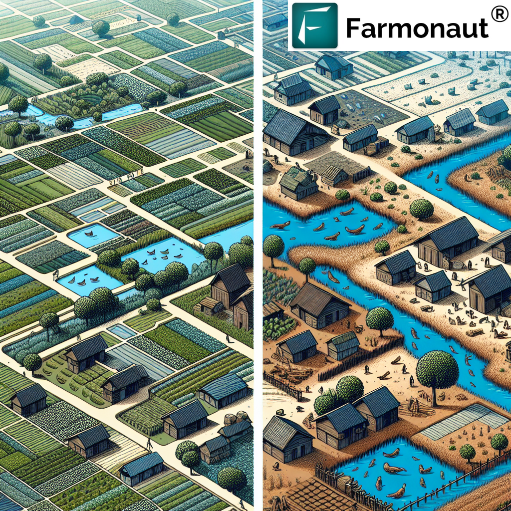
- Types of Aerial Monitoring Solutions: Drones, Aircraft, Satellites
- Multispectral and Hyperspectral Imaging: Seeing Beyond the Visible
- Farmonaut: Satellite-based Crop Health Monitoring & Advanced Advisory
- Practical Benefits: From Early Disease Detection to Precision Input Application
- Aerial Data in Water and Soil Management
- Productivity and Sustainability: The Broader Impact
- AI Integration and the Future of Precision Farming
- Accessibility, Democratization, and Equity in Aerial Tech
- Comparative Table: 2025 Aerial Crop Imaging Benefits vs Traditional Monitoring
- Remaining Challenges and Limitations
- Farmonaut Solutions: Apps, API, and Product Links
- Frequently Asked Questions
- Conclusion: Aerial Imaging Technology Revolutionizing Modern Agriculture in 2025
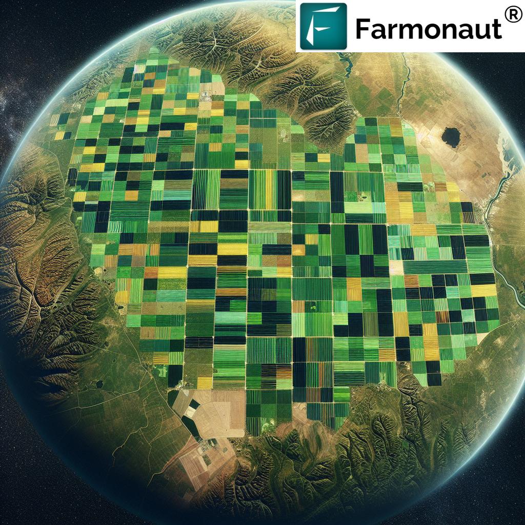
“In 2025, aerial crop imaging can analyze over 500 acres in just one flight using advanced imaging sensors.”
Aerial Crop Imaging in 2025: A New Era for Agriculture
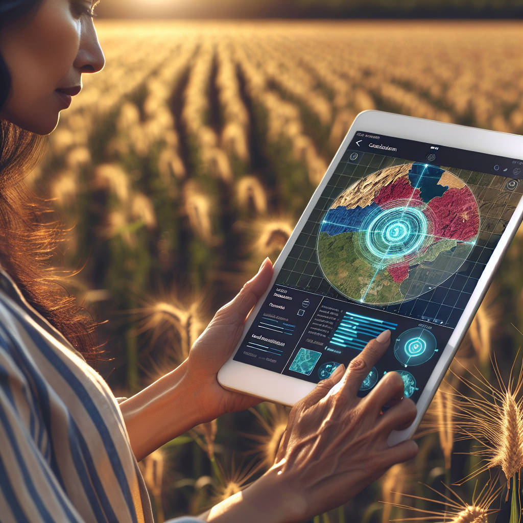
In 2025, agriculture stands at the forefront of a technological transformation, driven by the rapid adoption of aerial crop imaging and aerial monitoring solutions. The days of relying solely on manual field walks or basic satellite images for inspecting crop health are gone. Instead, farmers, agronomists, and land managers are empowered with sophisticated imaging technology that harnesses the power of drones, manned aircraft, and satellites to deliver precise data and actionable insights directly to their devices.
This innovation is not merely about taking pictures from above—aerial crop imaging in 2025 incorporates multispectral and even hyperspectral imaging to evaluate crop vigor, detect early signs of stress or pest infestations, and monitor soil and water conditions across vast fields. The utility of aerial monitoring solutions lies in their ability to revolutionize farm management practices, making modern agriculture more sustainable, accurate, and productive than ever before.
The Technological Revolution: Aerial Imaging Technology Explained
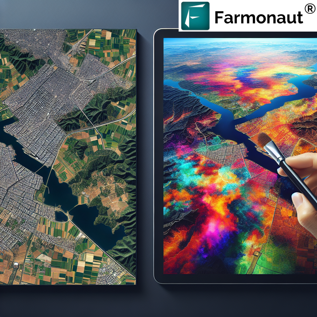
At the heart of this revolution is the transformation of simple aerial photography into advanced aerial imaging technology. Modern imaging systems can now collect a wider range of spectral information, enabling the detection of crop health and soil conditions that go far beyond visible light. Multispectral and hyperspectral sensors dissect plant data across several bands, allowing farmers to capture details on vegetation vigor, water stress, and emerging issues invisible to the naked eye.
- Hyperspectral Imaging: Provides extremely detailed data on plant biochemistry, enabling precise diagnostics.
- Thermal Imaging: Measures water loss and plant stress by detecting variations in canopy temperature.
- High-resolution RGB: Still valuable for general mapping and visual inspection of fields and areas.
The real power of modern aerial imaging technology in 2025 lies in integrating these sensor streams for a holistic approach to crop management, vastly improving productivity, promoting sustainability, and ensuring food security globally.


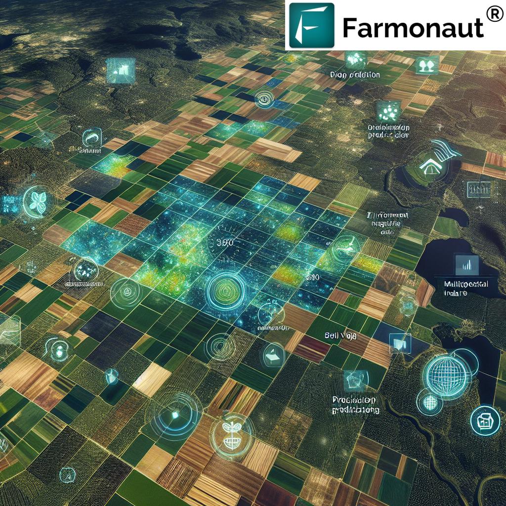
Types of Aerial Monitoring Solutions: Drones, Aircraft, Satellites
The landscape of aerial crop imaging and aerial monitoring solutions in 2025 is defined by a diverse array of platforms tailored for specific needs, scale, and precision requirements.
-
Drones (UAVs):
- Offer ultra-high resolution images.
- Ideal for targeted monitoring of specific fields or areas.
- Flexible deployment and quick turnaround for scouting, variable-rate application, and rapid response to pest outbreaks or stress events.
-
Manned Aircraft:
- Cover large agricultural tracts efficiently.
- Leverage heavier sensor payloads, supporting longer range and increased coverage area.
-
Satellites:
- Provide periodic, consistent data for large-scale monitoring—regional and global agriculture insights.
- Rapid carbon footprinting and traceability across supply chains and ecosystems.
- Enables environmental impact tracking and resource usage optimization.
By combining these aerial platforms, the modern farm is not just a site of food production but a data-rich, continuously monitored ecosystem that supports sustainability, productivity, and security.
“Aerial imaging technology captures up to 10 spectral bands, revealing crop health details invisible to the human eye.”
Multispectral and Hyperspectral Imaging: Seeing Beyond the Visible for Precision Crop Management
One of the most significant advances in aerial imaging technology is the leap from simple photography to multispectral and hyperspectral imaging systems. Whereas the human eye can distinguish only a limited range of visible light, these technologies assess 10 or more spectral bands, including near-infrared, shortwave-infrared, and thermal wavelengths.
- Multispectral Imaging: Measures plant response in specific bands, especially NIR (near-infrared) critical for assessing vegetation vigor, early stress detection, and mapping nutrient deficiencies or water stress.
- Hyperspectral Imaging: Offers a continuous spectrum, providing even higher precision in detecting subtle changes in crop health, pest activity, or soil conditions.
- Thermal Sensors: Help identify areas of excessive water loss, dry patches, or microclimate variation that might impact crop growth.
These sophisticated sensor systems enable farmers and agronomists to identify issues early, optimize inputs, and implement data-driven interventions that result in both higher yields and reduced environmental impact.
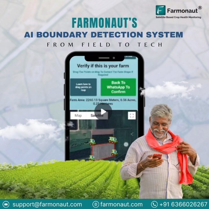
Farmonaut: Satellite-based Crop Health Monitoring & Advanced Advisory
At Farmonaut, we are passionate about making advanced satellite technology accessible for the global agricultural sector. Our integrated platform harnesses multispectral satellite data, AI-driven analysis, and machine learning to deliver:
- Real-time Crop Health Monitoring — Using NDVI/EVI, our systems track vegetation vigor, soil conditions, and climbing or dropping stress levels across fields.
- AI-based Advisory Services — Our Jeevn AI offers weather-optimized management advice, risk identification, and precise prescription for input optimization.
- Blockchain Traceability — Ensuring transparency and supply chain integrity from field to shelf with product traceability.
- Environmental Impact Monitoring — Track sustainability, carbon footprint, and environmental compliance with our satellite solutions. Learn more about Farmonaut’s Carbon Footprinting module.
- Resource, Fleet & Large-Scale Farm Management — Optimize equipment, machinery, and labor for both family-operated and enterprise-scale farms. Explore Fleet Management and Large-Scale Farm Management for remote control and scaling up operations.
- Financing Support — Farmonaut’s crop loan and insurance verification tools offer satellite-backed insights for banks and insurers, reducing fraud and expanding access to credit and insurance. See how Farmonaut supports Crop Loan & Insurance.
Our mission is to democratize innovation, ensuring every farmer and stakeholder can thrive in the digital era.
Practical Benefits of Aerial Crop Imaging for Precision Agriculture
Early Detection: Timely Response to Diseases & Pests
A key advantage of aerial crop imaging and aerial monitoring solutions is the early detection of threats that would otherwise remain hidden until visual symptoms are severe. By regularly capturing high-resolution images across fields:
- Disease Outbreaks: Early identification of infection hotspots allows rapid, targeted intervention, preventing escalation and wide-scale crop losses.
- Pest Infestations: Aerial imagery helps detect subtle changes in plant reflectance or thermal signatures caused by pest feeding before visible damage emerges.
- Variable Stress Levels: Mapping of water or nutrient stress zones supports precision application of inputs, reducing waste and minimizing environmental impact.
Enabling Variable Rate Application for Optimized Input Use
With the layer-rich data from aerial imaging technology:
- Agronomists can map field variability in real-time, identifying areas that are underperforming or at risk.
- Input application (fertilizer, water, agrochemicals) can be adjusted exactly where needed—no more blanket spraying or over-application.
- Supports precision agriculture, boosting productivity, slashing costs, and driving sustainable practices.
Aerial Data in Water and Soil Management
Aerial crop imaging enhances irrigation management by utilizing sensors to detect moisture levels and plant water stress. Efficient irrigation practices become possible when aerial platforms highlight both under- and over-watered areas, guiding farmers to balance water use, save on resources, and maximize yield.
Soil health management also sees a revolution with aerial imaging technology:
- Topographical mapping identifies erosion-prone areas and supports the design of contour farming systems.
- Multispectral imagery helps in detecting changes in organic matter, salinity, and soil fertility.
- Long-term soil conservation is promoted, ensuring sustainable production.
Productivity and Sustainability: The Broader Impact
Environmental responsibility is now a key objective for modern agriculture. The ability to identify environmental impact areas, track resource use, and reduce the ecological footprint through aerial monitoring solutions supports both local and global food security.
- Productivity Gains: With optimized inputs and rapid identification of issues, crop yields are steadily rising, vital as population pressures mount.
- Sustainability: Practices such as precise fertilizer and water applications, enabled by aerial imaging technology, promote environmental balance and resource conservation across ecosystems.
- Long-term Land Stewardship: Regular, precise monitoring supports soil conservation, carbon tracking, and persistent sustainability.
Farmonaut’s carbon footprinting and traceability modules provide crucial data for complying with regulations and demonstrating sustainability in the food supply chain. Read more about our carbon footprinting features.
AI Integration: The Next Leap for Aerial Crop Imaging and Monitoring Solutions
In 2025 and beyond, AI is revolutionizing aerial crop imaging and agriculture management. With the exponential growth in data volume, machine learning and AI-driven decision support are essential for transforming raw sensor output into actionable advice.
- Pattern Recognition: AI rapidly identifies disease, moisture deficits, or nutrient imbalances from multispectral and thermal images, every day, across millions of hectares.
- Predictive Analytics: Farmers and stakeholders receive yield projections, risk forecasts, and operational recommendations with unprecedented accuracy, thanks to AI.
- Collaboration: Cloud-based platforms enable seamless data sharing among farmers, agronomists, financial institutions, and other actors in the supply chain.
Farmonaut’s Jeevn AI advisory system is an example of how AI and satellite-based insights are transforming farming, enhancing crop health diagnostics, and supporting daily decision-making.
Developers interested in integrating satellite-driven agriculture API solutions can access Farmonaut’s API here and developer documentation here.
Accessibility, Democratization, and Equity in Aerial Technology Adoption
A major achievement in 2025 is the dramatic drop in the cost and the rise in accessibility of aerial imaging technology across the globe.
- Subsidies, Training, and Local Services: Public and private sector initiatives enable farmers in developing regions to leverage aerial monitoring solutions without prohibitive investment.
- Mobile and Web Platforms: Aerial crop imaging insights are delivered directly via mobile apps, putting advanced technology into the hands of both large enterprise farm managers and smallholder farmers.
- APIs and Developer Tools: Farmonaut offers APIs and integration tools, making it straightforward for agricultural businesses of all sizes to embed geospatial insights into their workflows.
This democratization of technology promotes equitable agricultural development and is central to ensuring food security as populations grow.
Comparative Table: 2025 Aerial Crop Imaging Benefits vs Traditional Monitoring
| Parameter | Traditional Monitoring (Estimated Value, 2025) |
Aerial Crop Imaging (Estimated Value, 2025) |
Benefit of Aerial Solution |
|---|---|---|---|
| Monitoring Frequency | Once per season/manual | Weekly to daily (via drones/satellites) | Timely intervention; near real-time data |
| Spectral Resolution | 3 visible bands (RGB) | Up to 10+ bands (multi/hyperspectral + thermal) | Detects stress, diseases, and deficiencies invisible to naked eye |
| Coverage Area (per day) | 20-50 hectares (manual) | 500+ hectares (one drone/satellite pass) | Efficient monitoring of vast fields |
| Data Turnaround Time | 3-7 days/manual | Instant to 24 hours | Faster response, supports agile farm management |
| Precision Level | Field-level, subjective | Plant or sub-field-level, objective | Enables targeted treatments and input optimization |
| Estimated Cost per Hectare | $10–$30/ha (labor, limited data) | $1–$5/ha (automated, precise data) | Substantial cost reduction per unit area |
| Sustainability Impact | Low (reactive, more chemical use) | High (proactive, less environmental impact) | Supports sustainable farming practices |
| Expected Yield Increase | 0–5% (annual average) | 10–20% (by timely actions) | Significant productivity boost |
Challenges and Limitations of Aerial Imaging Technology in Agriculture
Despite dramatic progress, several challenges remain for aerial crop imaging and aerial monitoring solutions:
- Regulatory Framework: Drone and data regulations vary globally, impacting how quickly and widely aerial monitoring is adopted.
- Data Privacy and Security: Reliable protocols must protect sensitive farm data while allowing collaborative solutions via cloud platforms.
- Connectivity: Robust internet and mobile network access are still needed in some rural areas for real-time monitoring.
- Hardware Limitations: While sensor and drone tech is advancing, battery life and sensor miniaturization can limit some operational scenarios, especially for large vast areas.
- Learning Curve: Meaningful adoption in remote areas requires continuous training and technical support.
However, the ongoing technological evolution, government policies in favor of digital agriculture, increasing affordability, and the rise of cloud and AI-based advisory systems promise continued momentum in resolving these limitations in the coming years.
Farmonaut Solutions: Apps, API, and Product Links
To support all stakeholders in their adoption of advanced aerial monitoring solutions, Farmonaut offers a comprehensive suite of mobile, web, and API-based access tools:
-
Download our cross-platform web and mobile apps for real-time insights and crop monitoring:
- For developers and businesses: Integrate aerial and satellite insights directly into your systems with the Farmonaut API. Full documentation is available here.
- Carbon Footprinting: Assess environmental sustainability of your operations with our Carbon Footprinting tools.
- Traceability: Build trust and transparency in your supply chain with product traceability modules.
- Crop Loan and Insurance: Improve agricultural finance and risk management using satellite-based loan & insurance verification solutions.
- Fleet Management: Optimize on-ground machinery, labor, and resources even across vast, remote areas through Fleet Management integration.
- Large-Scale Farm Management: Manage the complete lifecycle of multi-field operations — explore large-scale farm management options.
Frequently Asked Questions (FAQ)
What is aerial crop imaging?
Aerial crop imaging involves capturing high-resolution images of agricultural fields from drones, manned aircraft, or satellites, using multispectral and hyperspectral sensors to reveal crop health, soil conditions, and stress levels not visible to the naked eye.
How does aerial imaging technology support sustainable farming?
Aerial imaging technology enables early detection of diseases, supports variable-rate input application, monitors soil and water health, and helps optimize resource use, supporting sustainable agricultural practices and reducing environmental impact.
Are aerial monitoring solutions accessible to small farmers?
Yes, with technological advances and reduced costs in 2025, aerial crop imaging is accessible not only to large farms but also to smallholders, thanks to mobile/web apps, local drone service providers, and affordable subscription models like Farmonaut.
Can aerial crop imaging replace field scouting?
While aerial crop imaging automates and enhances the detection of stress, pests, or diseased areas, on-the-ground scouting remains valuable for confirmation and targeted actions, making both approaches complementary.
What about data privacy with cloud-based aerial monitoring?
Data privacy is a core concern. Respected solutions like Farmonaut use secure protocols and comply with standards, ensuring that only authorized users can access sensitive farm and crop data.
Conclusion: Aerial Imaging Technology Revolutionizing Modern Agriculture in 2025
The aerial crop imaging revolution of 2025 signifies a new era for global agriculture. Aerial imaging technology and aerial monitoring solutions have moved farming from intuition-driven to data-driven, equipping stakeholders with the tools to monitor, diagnose, and optimize every aspect of the agricultural ecosystem. This integration of advanced technologies—from multispectral sensors deployed via drones and satellites to AI-powered advisory systems—is not just improving productivity but also promoting sustainability, reducing environmental impact, and ensuring food security worldwide.
At Farmonaut, we believe the future of farming is transparent, equitable, and intelligent—with aerial crop imaging and satellite-driven insights as foundational pillars. Whether you’re a farmer, agronomist, business manager, or policymaker, adopting these innovations now is key to thriving in the agriculture of tomorrow.