How Satellite Images Help Agriculture & Finance 2025: Revolutionizing Farming & Forestry through Precision Technology
“Over 60% of global cropland is now monitored by satellites for real-time crop health insights.”
Table of Contents
- Introduction: The Satellite Revolution in Agriculture and Forestry
- Why Satellite Technology Matters for Agriculture & Finance in 2025
- How Satellite Help in Agriculture: Applications and Impact
- Deforestation Satellite Monitoring & Sustainable Forest Management
- Satellite Data in Agricultural Finance: Transforming Access & Risk Management
- Farmonaut: Satellite-Based Precision Solutions for the Future
- Watch: How Satellite Technology is Reshaping Agriculture & Forestry
- Comparative Benefits Table: Satellite Technology in Agriculture & Forestry
- The Rise of AI & Blockchain in Satellite Imagery: 2025 & Beyond
- 2025 & Beyond: Trends in Satellite Technology and Data Analytics
- Frequently Asked Questions (FAQs)
- Conclusion: Advancing Sustainability through Satellite Integration
Introduction: The Satellite Revolution in Agriculture and Forestry
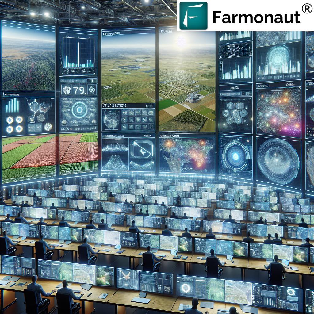
In recent years, the integration of satellite technology with agriculture and forestry has revolutionized the way these critical sectors operate. No longer reliant solely on manual inspection or local weather stations, farmers and land managers across the globe now rely on satellite data and imagery to guide their decisions. As we move into 2025, the pace of this transformation is only accelerating, powered by improved satellite capability, powerful AI analytics, and greater affordability.
By allowing near real-time monitoring over large areas, satellites are reshaping how we understand crop health, soil conditions, moisture levels, and the status of our world’s forests. These timely, precise tools provide actionable information—enabling optimized inputs and early identification of challenges like pest outbreaks, disease, or deforestation.
This blog post explores how satellite help in agriculture, forestry, and finance for 2025 and beyond—offering promising solutions for sustainable land management, yield improvement, environmental responsibility, and financial access.
“Satellite data has reduced deforestation rates by up to 20% in monitored regions since 2020.”


Why Satellite Technology Matters for Agriculture & Finance in 2025
The challenges faced by modern agriculture and forestry are more complex than ever. From climate change instability to rising input costs and the urgent need for sustainability, farmers and managers are seeking reliable, data-driven solutions.
Satellites provide a critical role in this transformation, offering:
- High-resolution imagery that identifies crop stress and growth stages
- Frequent monitoring, often in near real-time
- Insight into soil moisture, water levels, and drought risk
- Tracking deforestation and changes in forest cover
- Objective data for financial risk assessment and insurance
- Automated analysis using AI and machine learning
- Scalable application—from small farms to entire countries
- Enabling precision agriculture and sustainable practices
Understanding how satellite help in agriculture, forestry, and finance is essential not just for scientists and policymakers, but for every stakeholder in the food supply chain.
How Satellite Help in Agriculture: Applications and Impact
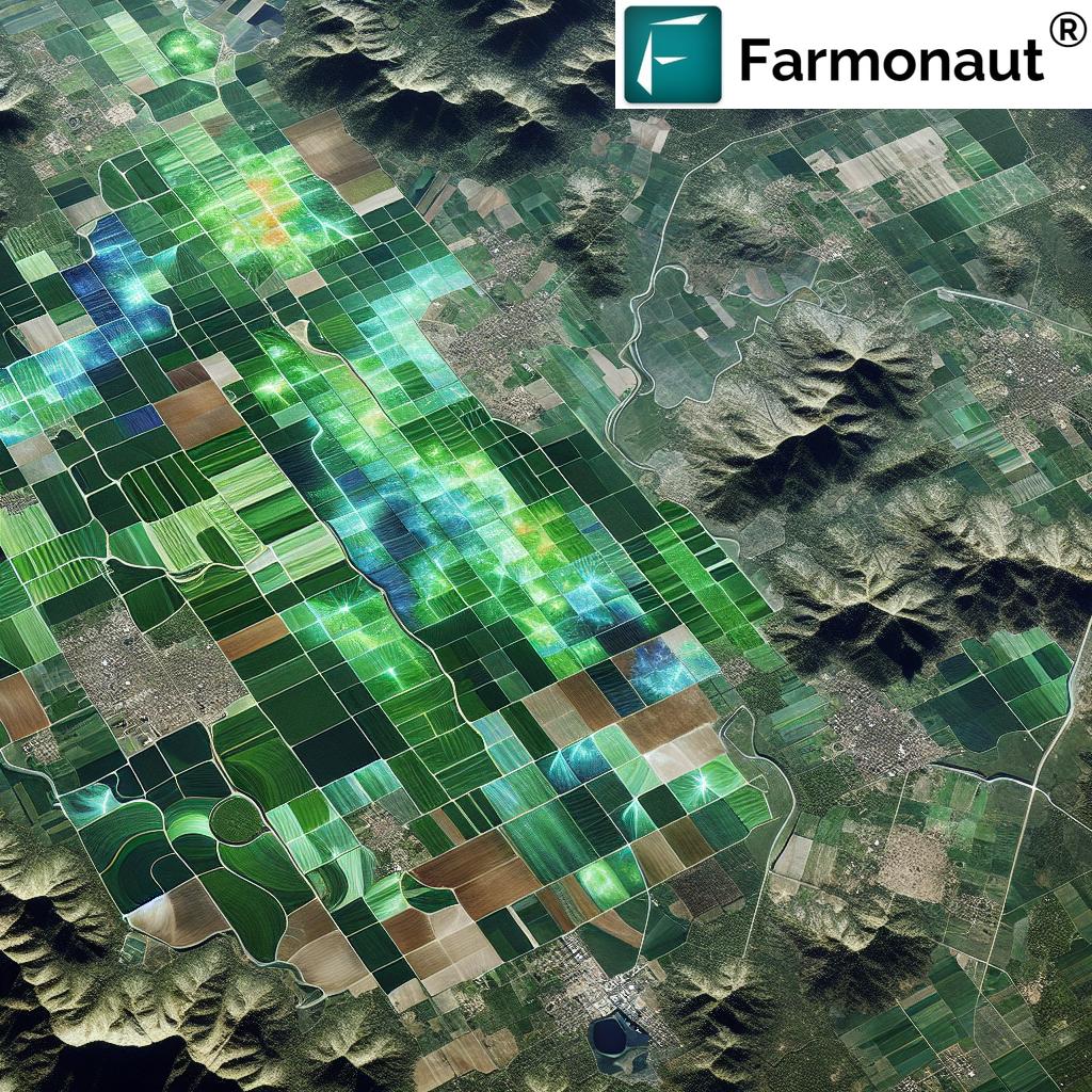
1. Satellite Images Used for Agriculture: Precision Crop Monitoring
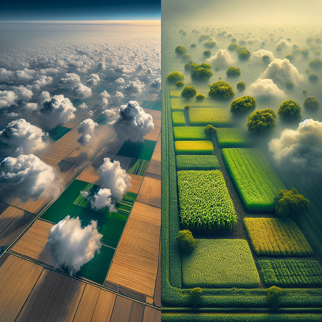
The way we monitor crops has changed dramatically. Satellite images used for agriculture deliver critical data about every parcel of land, from health and growth rates to the early warnings of stress.
- Vegetation Indices (e.g., NDVI, EVI): Satellites detect variations in plant health by measuring reflected light from crops. These indices identify stressed crops (due to water deficiency, disease, pests, or nutrient shortcomings) early—enabling prompt intervention and saving yields.
- Soil Moisture Mapping: Soil moisture is a vital factor in crop growth. Satellites
track moisture levels, helping farmers optimize irrigation, prevent overwatering, and conserve resources. - Pest & Disease Outbreaks: Changes in vegetation indices or temperature patterns can indicate
possible pest infestations or disease spread—allowing for targeted pesticide use and reduction in crop losses. - Input Optimization: By understanding specific field conditions, fertilizer and pesticide application can be optimized, resulting in reduced costs, less environmental impact, and increased yields.
2. Forecasting and Planning with Satellite Data
Satellite forecasts are essential in planning the planting and harvesting schedules. Weather patterns, trend analyses, and accurate predictions of rainfall or drought are now at farmers’ fingertips, thanks to continuous monitoring of climate and weather.
- Helps avoid losses from unexpected weather
- Enables scheduling of resource-intensive activities (e.g., irrigation, fertilization)
- Supports yield prediction and long-term strategic planning
3. Water and Input Use: Optimizing for Efficiency
Water scarcity is one of the greatest challenges for agriculture into 2025. Satellites help farmers make informed decisions about when and where to irrigate, optimizing usage and minimizing waste—crucial for sustainability.
- Smart irrigation management via moisture maps
- Input reduction leads to cost saving and environmental benefits
- Enables precision agriculture as an essential practice
To explore advanced resource and fleet management applications for agriculture, see our Fleet Management Solutions, enabling optimized logistics for agribusinesses.
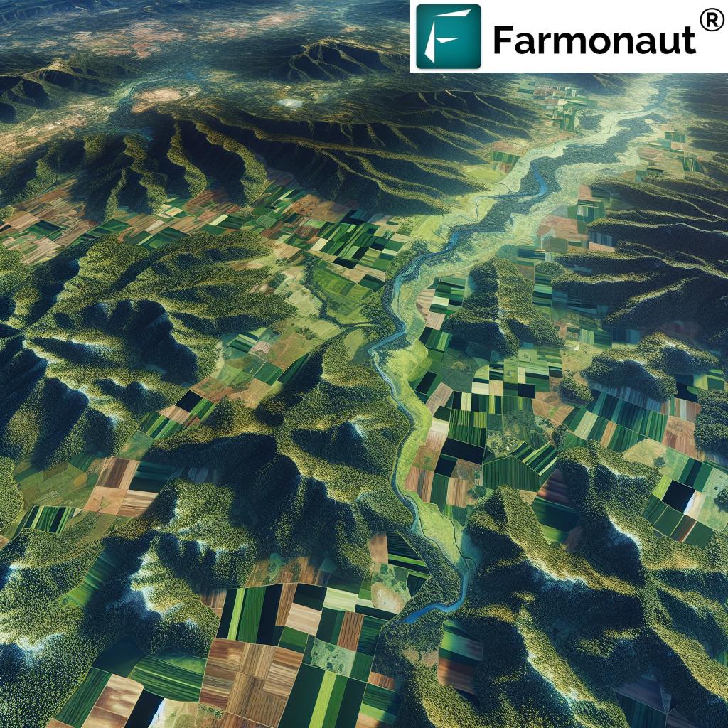
Deforestation Satellite Monitoring & Sustainable Forest Management
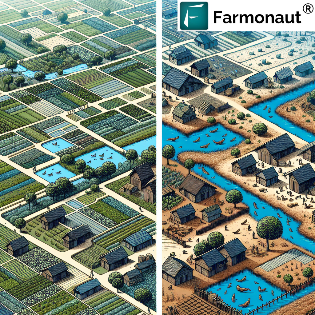
How Satellite Images Help Combat Deforestation and Forest Degradation
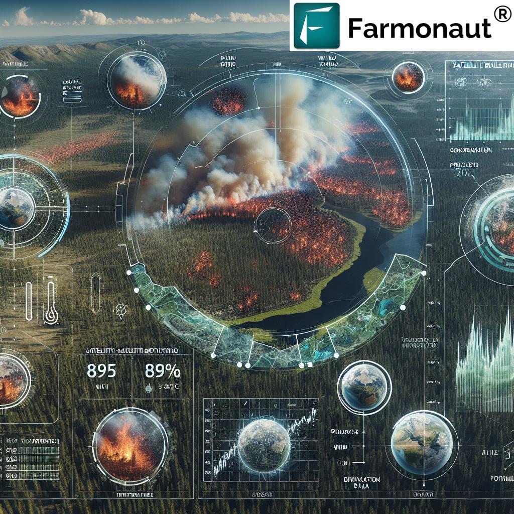
From the Amazon rainforest to commercial plantations, deforestation satellite monitoring is a powerful tool in the battle for ecological sustainability. Continuous, up-to-date satellite images allow authorities and environmental organizations to:
- Track illegal logging and encroachment activities
- Detect and assess forest fires rapidly
- Identify changes in forest cover and biodiversity hotspots
- Monitor carbon stocks for carbon credit markets or compliance
- Support efforts to conserve biodiversity and manage land sustainably
Deforestation satellite imagery provides environmentalists and policymakers with the data needed to trigger regulation enforcement and to enhance global climate change mitigation practices.
For organizations managing large tracts of land or forests, our Crop Plantation & Forest Advisory Service facilitates real-time, site-specific satellite monitoring and advisory for improved forest management.
Satellite Data in Agricultural Finance: Transforming Access & Risk Management
Satellite Data Agricultural Finance: Risk Assessment and Loan Accessibility
Traditionally, agricultural finance relies on costly and time-consuming physical inspections to verify collateral, assess risk, or validate crop insurance claims. Satellite data agricultural finance platforms now allow financial institutions to:
- Remotely assess farm conditions and productivity
- Reduce the need for on-site verification
- Automate and objectively evaluate crop yield and viability
- Improve access to credit and insurance products, enhancing financial inclusion
- Mitigate risks, ensuring reliable lending to farmers in remote areas
This integration improves rural development, reduces fraud, and encourages sustainable practices through performance-linked finance.
Learn more about how our satellite-verified crop health monitoring solution streamlines access to loans and insurance for farmers at Crop Loan & Insurance Services.
For developers interested in building innovative finance or insurance apps using real-time satellite and weather data, our API is available at Farmonaut API (API Developer Docs).
Farmonaut: Satellite-Based Precision Solutions for the Future
Who We Serve and What We Offer
At Farmonaut, our mission is to make precision agriculture accessible, affordable, and actionable. We help farmers, agribusinesses, NGOs, government bodies, and financial institutions make data-driven decisions for greater productivity, sustainability, and resilience in their operations. Our Large Scale Farm Management Platform ensures scalable, comprehensive, and easy-to-use satellite data monitoring for vast and distributed agricultural operations.
Technologies Powering Our Farm Management Solution:
- Multi-spectral Satellite Imagery – for real-time crop health, soil moisture, and precise input optimization
- AI & Machine Learning – our Jeevn AI Advisory System provides real-time weather forecasts, crop management strategies, and site-specific advice
- Blockchain Traceability – Ensures irreversible, secure crop and product tracking across the full supply chain, building consumer trust. Discover more at our Product Traceability Solution.
- Fleet & Resource Management – Reduce costs by optimizing farm logistics and asset usage
- Carbon Footprinting – For sustainability-conscious agribusinesses, we offer Carbon Footprinting Services to monitor and minimize environmental impact in real-time
Accessible & Affordable Subscription Model
Our solutions are available via Android, iOS, web/browser apps, and API. This digital accessibility empowers farmers and businesses anywhere.
Choose the plan that fits your operational scope:
Watch: How Satellite Technology is Reshaping Agriculture & Forestry
Dive deeper into practical solutions for how satellite help in agriculture, forestry, and finance via these informative videos. See satellite-based crop monitoring, soil moisture tracking, tree enumeration, and the AI-driven insights that are defining 2025’s AgTech revolution:
Comparative Benefits Table: Satellite Technology in Agriculture & Forestry
| Application Area | Satellite Data Used | Estimated Accuracy Improvement (%) | Time Savings (Days) | Sustainability Impact (CO2 Reduction/Resource Savings) |
|---|---|---|---|---|
| Crop Monitoring | Multispectral, Hyperspectral | Up to 40% | 10–25 | 15–20% reduction in water & input usage |
| Deforestation Detection | Optical, Radar | 35% | 20–30 | 10–20% reduction in annual forest carbon loss |
| Yield Prediction | Multispectral, Meteorological Integration | 30–45% | 7–15 | Enables targeted fertilizer, saving up to 18% emissions |
| Irrigation Management | Thermal, Microwave | 50% | 14–30 | Up to 30% water savings |
| Financial Risk Assessment | Multispectral + Historic Data | 25–35% | 5–21 | Reduces unnecessary payouts, incentivizes sustainable practices |
The Rise of AI & Blockchain in Satellite Imagery: 2025 & Beyond
Integrating AI for Agriculture Help: Automated Insights & Decision-Making
- AI models analyze vast satellite datasets to detect patterns invisible to the naked eye
- Deliver actionable recommendations in real-time (fertilizer need, irrigation, harvesting timing, expected disease outbreak)
- Scales effortlessly from one farm to entire regions
- Drives sustainable management by custom-tailoring inputs
- Enables Jeevn AI Advisory System—providing site-specific, crop-specific advice accessible via smartphone or desktop in any language
Blockchain for Traceability and Supply Chain Transparency
- Blockchain technology ensures every product’s journey is recorded, secure, and visible
- Improves transparency and reduces fraud for agricultural products in global markets
- Facilitates compliance with food safety and carbon audit requirements
Find out more about our blockchain-based product traceability at Farmonaut Traceability Solution.
2025 & Beyond: Trends in Satellite Technology and Data Analytics
The future of satellite images used for agriculture, forestry, and finance is bright, with rapid advancements reshaping what’s possible across these critical sectors:
- Emergence of Low-Earth-Orbit (LEO) satellite constellations for more frequent, higher-resolution data delivery
- AI-driven analytics and machine learning models for faster, more accurate predictions
- Affordable, subscription-based access to high-quality satellite imagery and data-driven insights via digital platforms
- Direct integration of satellite data agricultural finance and insurance systems, streamlining financial inclusion
- Expansion of carbon accounting and sustainability tooling to meet ESG targets and compliance
- Mobile-first apps that empower even smallholder farmers to harness advanced technology—from farm management to carbon footprint tracking
2025 is set to be the year where the sustainable management of land—from farming to forestry—is no longer considered futuristic, but standard practice thanks to the integration of satellite technology.
Frequently Asked Questions (FAQs)
How do satellite images help in agriculture?
Satellite images used for agriculture provide critical data on crop health, soil moisture, and land conditions over vast areas. They enable farmers to detect early signs of stress, optimize water and input use, plan sowing/harvesting dates, and monitor pest or disease outbreaks—all improving yields, lowering costs, and reducing environmental impact.
What is the role of deforestation satellites in sustainability?
Deforestation satellites offer continuous, objective monitoring of forests, enabling the identification of illegal logging, detecting forest fires, and tracking land-use changes. This surveillance is crucial for enforcing conservation laws, conserving biodiversity, and managing carbon stocks—supporting global climate change efforts.
How is satellite data transforming agricultural finance?
Satellite data agricultural finance allows for remote assessment of farms, reducing the need for costly field visits. It enables more accurate risk evaluation, faster loan or insurance approvals, and helps financial institutions provide tailored products to smallholder farmers—boosting financial inclusion and resilience.
How accessible are satellite-based agricultural solutions for farmers?
Advanced satellite-based solutions are now accessible to farmers of all sizes through web, Android, iOS apps, and open APIs. These platforms democratize access to high-quality data, making precision agriculture affordable and actionable worldwide.
What’s the impact of satellite technology on sustainability?
Satellite imagery enables significant resource savings—reducing water use by up to 30%, minimizing fertilizer and pesticide input, and aiding land management for lower carbon emissions. Forest monitoring by satellite has reduced deforestation rates by up to 20% in watched areas since 2020.
How do I get started with satellite crop monitoring?
Get started by signing up for digital platforms such as Farmonaut, available on Web, Android, and iOS—or you can integrate its API into your own systems.
Conclusion: Advancing Sustainability through Satellite Integration
As satellite images help agriculture & finance in 2025, they are catalyzing a global transformation—blending technology, data, and AI-driven insight to support farmers, forest managers, financial institutions, and environmentalists alike. The capability to analyze large areas, provide precise information, and enable informed decisions reduces waste, improves yields, and underpins responsible stewardship of our environment.
With the advent of affordable, accessible platforms (such as ours), this once-elite technology is now powering the world’s sustainable development. We are proud to be at the forefront of this revolution, helping you harness the full potential of the satellite-driven agricultural future.
Ready to experience data-driven, smarter, and more sustainable agriculture?
Join us on the journey to smarter farming and sustainable land management with satellite images at the heart of decision-making for 2025 and beyond.