
How Satellite Knowledge Aids Agriculture Issues: Revolutionizing Farming with Data-Driven Insights for 2025 and Beyond
“Over 60% of global farmland can be monitored by satellites, enabling precise crop health analysis and yield prediction.”
Table of Contents
- Introduction to Satellite Knowledge in Agriculture
- Satellite Technology: A Game-Changer in Agriculture
- Precision Agriculture: The Benefits of Satellite Data
- From Orbit to Field: How Satellites Collect Agriculture Data
- Addressing Farming Issues with Satellite Knowledge
- Agriculture Knowledge Centers: Bridging Insights and Practice
- Integration of Satellite Knowledge in Farming Systems
- Comparative Impact Table on Agriculture Challenges
- Farmonaut Satellite Technology: Powering Agricultural Innovation
- The Future of Farming in 2025 and Beyond
- Farmonaut Solutions and Useful Links
- Frequently Asked Questions (FAQ)
- Conclusion
Introduction to Satellite Knowledge in Agriculture
In recent years, the agricultural sector has undergone significant transformation, thanks to rapid advancements in satellite technology. Farmers, scientists, and governments are increasingly asking, “How does the knowledge gained from satellites help farmers better understand farming issues?” The answer lies in the unprecedented access satellites provide to crucial data and insights, enabling smarter, more efficient, and sustainable agricultural practices.
Satellites equipped with advanced sensors now collect vast amounts of data related to weather patterns, soil moisture, crop health, pest infestations, and land use. This wealth of information offers a comprehensive, real-time view of agricultural fields, previously inaccessible or costly to monitor. As we move towards 2025, the integration of satellite-derived knowledge into agriculture knowledge centers and knowledge management in agriculture systems is becoming pivotal in addressing key farming challenges.
Satellite Technology: A Game-Changer in Agriculture
Satellite technology has revolutionized the way farmers manage their fields, shifting from traditional and often subjective methods to data-driven decision-making. In the past, farmers relied heavily on manual scouting, weather predictions from local sources, and observation to manage crops. These approaches, while rooted in basic farming knowledge, were increasingly insufficient for today’s demands, especially in the face of climate change and the need for sustainability.
By contrast, satellites offer the ability to monitor vast areas simultaneously, providing timely, actionable data. This data allows for the identification of stressed areas within fields due to factors like drought, disease, or pest infestations. The integration of satellite data in agriculture ensures that insights are not just comprehensive but deeply contextual and location-specific.
Let’s explore how satellite-based monitoring and knowledge management in agriculture address both strategic planning and daily operations for farmers:
- Real-time Monitoring: Satellites equipped with multispectral sensors can monitor crop health, soil moisture, and land use patterns remotely, reducing the need for costly on-site visits.
- Timely Insights: The delivery of data in near-real time allows farmers to respond quickly to emerging risks, such as pest outbreaks or sudden shifts in weather.
- Efficient Resource Use: Informed by satellite data, farmers can allocate inputs like fertilizers, pesticides, and water where needed most.
- Empowerment: By making data accessible through mobile apps and web portals, knowledge centers put the power of technology directly in the hands of farmers.
- Sustainability: The reduction in waste and more precise targeting of resources supports both environmental sustainability and economic resilience.

Precision Agriculture: The Benefits of Satellite Data
One of the most significant benefits satellite technology has brought to the agricultural sector is precision agriculture. By harnessing satellite images and geospatial data, farmers can monitor crop growth, identify stressed areas, and manage resources with unmatched precision.
Key Advantages of Precision Agriculture with Satellite Data:
-
Pinpoint Crop Health:
Satellite imagery allows the detection of nutrient deficiencies, water stress, and early signs of disease within fields, enabling effective intervention. -
Efficient Input Application:
By identifying areas in need of intervention, farmers can perform variable rate fertilization and irrigation, optimizing resource use and reducing costs. -
Improved Yield:
Targeted management approaches facilitate better crop growth and higher productivity, improving yields and profitability. -
Environmental Protection:
Reducing excess input application minimizes environmental impact and fosters sustainability. -
Monitor Pest and Disease Patterns:
Early identification of pest infestations or outbreaks enables timely action, preventing widespread impact.
For example, satellite data can detect water stress in part of a field and trigger site-specific irrigation, conserving water and protecting crops, especially critical in regions facing water scarcity.

“Satellite data reduces fertilizer use by up to 30%, supporting sustainable and efficient food production worldwide.”
From Orbit to Field: How Satellites Collect Agriculture Data
Understanding the technical side of satellite-driven agriculture knowledge reveals why these systems are so powerful in knowledge management in agriculture.
How Satellite Data Collection Works
-
Advanced Sensors:
Satellites use high-resolution, multispectral, and hyperspectral sensors to capture detailed images and measurements across different wavelengths. -
Data Layers:
Data collected includes NDVI (Normalized Difference Vegetation Index) for vegetation health, soil moisture levels, surface temperature, and more. These layers help produce a comprehensive view of agricultural land. -
Realtime Transmission:
Modern satellites transmit their data to ground stations in near real-time, allowing for prompt analysis and response. -
Actionable Intelligence:
Advanced analytics powered by AI and machine learning translate raw data into actionable insights for farmers and agriculture knowledge centers.
Addressing Farming Issues with Satellite Knowledge
How does the knowledge gained from satellites help farmers better understand farming issues? The answer is in the precise, timely, and comprehensive nature of satellite-derived data, which supports knowledge management in agriculture and helps farmers tackle complex agricultural challenges.
Key Farming Challenges Addressed by Satellite Technology
-
Soil Moisture Monitoring:
Satellite sensors measure soil moisture levels, helping farmers optimize irrigation schedules and conserve water. -
Disease and Pest Detection:
Data helps identify outbreaks and stress caused by pest infestations, enabling targeted pesticide application and reducing crop loss. -
Drought Assessment:
Early detection of drought conditions allows for better planning and resource allocation. -
Yield Prediction:
Satellites help estimate yield by tracking growth stages and stress factors throughout the season. -
Land Use Change Monitoring:
Ongoing observation of land use helps policymakers and farmers adjust strategies in response to expansion or contraction of cultivated areas. -
Weather Forecasting:
Satellite data feeds into advanced models for more accurate and localized weather forecasts, allowing farmers to plan sowing, harvesting, and protection activities.
These applications demonstrate the role satellites play in enabling efficient management, reducing risks, and supporting sustainability for both smallholder and large-scale farmers.
Agriculture Knowledge Centers: Bridging Insights and Practice
Agriculture knowledge centers are fundamental to the process of translating sophisticated satellite data into usable, actionable information for everyday farming. These centers act as hubs for not only collecting and processing data, but also disseminating it in an understandable manner through services like mobile apps, web portals, and advisory services.
How Knowledge Centers Empower Farmers
-
Custom Advisories:
Farmers receive timely advice tailored to their specific crops, locations, and weather scenarios. -
Accessible Tools:
Through apps and user-friendly platforms, even those with only basic farming knowledge can leverage cutting-edge technology. -
Training and Education:
Programs and workshops help farmers build competency in interpreting data and adopting new technologies. -
Local Relevance:
Integration with local agricultural knowledge ensures recommendations are appropriate for the specific region. -
Continuous Support:
On-demand advisory services ensure farmers always have access to expertise and timely information.
By empowering farmers, these centers contribute towards a robust knowledge management in agriculture system, making advanced technology approachable and beneficial for all.

Integration of Satellite Knowledge in Farming Systems
The integration of satellite knowledge into existing farming systems brings together data-driven insights, agriculture knowledge centers, and advanced management tools. It is this effective integration that is driving the agricultural sector towards sustainability and higher resilience.
Key Elements of Successful Integration
-
Comprehensive Data:
Access to the full range of satellite observations, including crop phenology, stress indicators, moisture, and land use changes. -
Systematic Knowledge Management:
Knowledge management in agriculture ensures the flow of information from satellite to field advisor to farmer. -
Digital Platforms:
Mobile and web-based platforms, including apps, allow for real-time updates and recommendations (Check out our Farmonaut mobile/web app). -
AI-Assisted Insights:
Artificial Intelligence tools process complex multivariate data and provide simplified, actionable advisories. -
Feedback Loops:
Data collected from farmers (e.g., field-level observations) can help improve models and recommendations over time.

This seamless integration ensures the data is not just abundant but also highly actionable and tailored for those who need it most—our farmers.


For developers and businesses seeking to integrate satellite data directly into their workflows, Farmonaut provides robust API access and Developer Documentation for custom agricultural solutions.
Comparative Impact Table on Agriculture Challenges
To further illustrate the profound impact of satellite-driven solutions, here is a detailed table comparing traditional farming approaches to satellite-based methods for addressing key agricultural challenges.
| Agricultural Issue | Traditional Approach (Estimated Data) |
Satellite-Based Approach (Estimated Data) |
Impact on Efficiency/Sustainability |
|---|---|---|---|
| Drought Monitoring | Manual field scouting, rainfall records Time to detect: 10–14 days |
Real-time soil moisture data from satellites Time to detect: 1–2 days |
Faster response reduces crop stress, up to 20% resource savings |
| Pest Detection | Visual inspection post-infestation Yield loss: ~10% |
Spectral imagery detects early anomalies Yield loss: ~2% |
Early action minimizes loss and pesticide use by up to 30% |
| Crop Health Assessment | Periodic walk-through surveys Estimated accuracy: 65% |
Continuous NDVI remote monitoring Estimated accuracy: 95% |
Accurate diagnostics increase yield by up to 15% |
| Resource Management (Fertilizer/Water) | Uniform application Resource savings:0–10% |
Variable-rate application based on real-time data Resource savings: up to 30% |
Significant savings, less runoff, enhanced environmental sustainability |
| Yield Prediction | Experience-based estimation Forecast error: ±25% |
Predictive analytics using multi-source data Forecast error: ±5% |
Enables better planning and market strategies |
Farmonaut Satellite Technology: Powering Agricultural Innovation
At Farmonaut, we recognize that integration of satellite technology not only enhances existing agriculture knowledge centers but also extends smart, actionable insights directly to the hands of farmers and businesses. Our cutting-edge platform leverages satellite imagery, AI, and blockchain to provide comprehensive solutions for crop health monitoring, resource management, and fleet management.
- Our Jeevn AI Advisory System delivers real-time weather forecasts and field-specific recommendations to boost productivity and operational efficiency.
- Blockchain-based traceability, as offered through our traceability solutions, ensures transparency across the supply chain, helping businesses and consumers trust the integrity of agricultural products.
- Our carbon footprinting tools provide actionable data on emissions, supporting compliance and eco-friendly practices for the next generation of sustainable farms.
- For agriculture enterprises and cooperatives seeking robust oversight, our large-scale farm management applications enable detailed monitoring and analytics of expansive land areas.
- We offer satellite-based verification for agricultural loans and crop insurance, empowering financial institutions as well as farmers to secure funds confidently (learn more about our crop loan and insurance offerings).
By democratizing access to satellite intelligence and making these tools cost-effective, we are empowering both independent farmers and agribusinesses to become smarter, efficient, and more resilient.
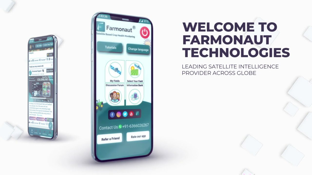
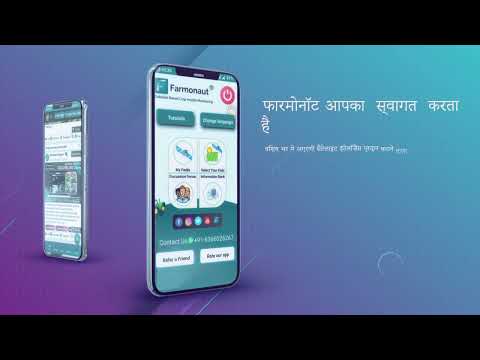
See how Farmonaut transforms farming with our unified app:
The Future of Farming in 2025 and Beyond
As we look towards 2025, several trends are positioning satellite-based knowledge as even more central in the evolution of agriculture:
-
Higher-Resolution Imagery:
Satellites are being launched with sharper cameras and better sensors, providing more granular data for precise decision-making. -
Frequent Data Updates:
Increased satellite missions will mean more frequent passes and up-to-date information on fields, enabling near-continuous monitoring. -
Integration with Other Data Sources:
Combining satellite data with drone and IoT sensor information will provide an all-encompassing understanding of the farm ecosystem. -
AI-Driven Predictive Analytics:
Machine learning models will continue to perfect risk prediction for pests, diseases, weather, and yields. -
Accessibility and User Experience:
Improved interfaces and mobile solutions will make advanced insights digestible for all—regardless of technological expertise. -
Sustainability Monitoring:
Increasing regulatory and market pressures for environmental sustainability will drive adoption of tools such as carbon footprinting.
With innovations such as real-time crop health tracking, scalable advisory systems, and streamlined data management, farm operations are set for measurable improvement in resilience, yield, and eco-friendliness.
Farmonaut Solutions and Useful Links
Our solutions are designed to support everyone—from smallholder farmers building their basic farming knowledge to governments orchestrating nation-wide agricultural programs:
- Carbon Footprinting helps businesses and farmers track emissions and environmental impact in line with global sustainability goals.
- Product Traceability supports secure, transparent supply chains, combating fraud and ensuring quality.
- Crop Loan & Insurance empowers easier access to finance with satellite-verified claims.
- Fleet Management delivers satellite-powered insights for optimizing logistics and operation of agricultural machinery.
- Large Scale Farm Management app centralizes monitoring for expansive agricultural estates and operations.
- Farmonaut App (available on Android/iOS) provides real-time field monitoring and advisory services directly to your device.
- Farmonaut API and developer docs let businesses embed satellite data directly into their own platforms.
Frequently Asked Questions (FAQ)
-
Q: How does the knowledge gained from satellites help farmers better understand farming issues?
A: Satellite knowledge provides real-time, specific insights about field health, soil moisture, crop growth, and pest threats, enabling informed decisions and proactive management, reducing waste, increasing yield, and ensuring sustainability. -
Q: What is an agriculture knowledge center?
A: An agriculture knowledge center processes and distributes actionable data (often from satellites), providing advisories, training, and technical support to empower farmers with better agricultural practices. -
Q: Can smallholder farmers benefit from satellite technology?
A: Yes. Thanks to accessible platforms, mobile apps, and localized advisories, even farmers with basic farming knowledge can utilize satellite insights to improve their operations. -
Q: Does satellite data replace local agricultural experience?
A: No. Satellite data complements local knowledge, offering comprehensive analysis to enhance traditional practices—not replace them. -
Q: Is satellite technology sustainable for the long term?
A: By enabling precision agriculture, reducing waste, and optimizing resources, satellite technology supports long-term sustainability and food security. -
Q: What is knowledge management in agriculture?
A: It is the organized handling of agricultural data—from collection to dissemination—so that relevant, timely insights are available for farmers, policymakers, and businesses. -
Q: How can I start using satellite data for my farm?
A: Explore Farmonaut’s mobile and web applications, read our developer docs, or contact us for farmer programs and subscription details.
Conclusion: Satellite Knowledge—The Keystone of Future-Proof Agriculture
As we enter 2025 and beyond, it is evident that satellite knowledge is transforming the way we approach agriculture. How does the knowledge gained from satellites help farmers better understand farming issues? By providing timely, comprehensive, and actionable data, satellites allow farmers, advisors, and policymakers to address key challenges head-on—from maximizing yields to fostering sustainable and resilient food systems.
The rise of agriculture knowledge centers and sophisticated knowledge management in agriculture systems ensures that information is not only collected, but effectively translated and disseminated in user-friendly formats. As integration and innovative applications continue to advance, these systems will play a pivotal role in empowering farmers worldwide, driving the world closer to sustainable and secure food production.
At Farmonaut, we are dedicated to making the benefits of satellite knowledge universally accessible, harnessing technology to deliver smart insights, efficiency, and sustainability in every field. The agricultural sector stands on the cusp of a new era—a future where satellite intelligence is a trusted ally in every farmer’s journey.


