Satellite Remote Sensing Crop Health Data: 7 Yield Tips
“Over 80% of yield prediction accuracy is achieved using AI-driven satellite remote sensing in precision agriculture.”
- Introduction: The Power of Satellite Remote Sensing in Modern Agriculture
- Understanding Satellite Remote Sensing in Agriculture
- Key Satellite Sensors and Missions in Agricultural Monitoring
- Vegetation Indices for Crop Assessment
- Applications of Satellite Remote Sensing Data in Precision Agriculture
- 7 Yield Tips for Farmers Using Satellite Crop Health Data
- How Farmonaut Empowers Precision Agriculture
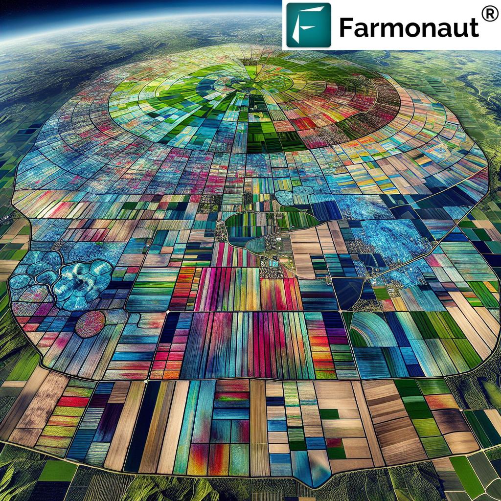
- Comparison Table: Remote Sensing Technologies vs. Crop Health Parameters
- Recent Advancements: AI Integration in Agricultural Monitoring
- Challenges, Considerations & The Future of Satellite Remote Sensing
- Frequently Asked Questions (FAQ)
- Conclusion: Transforming Food Production with Satellite and AI Technology
Introduction: The Power of Satellite Remote Sensing in Modern Agriculture
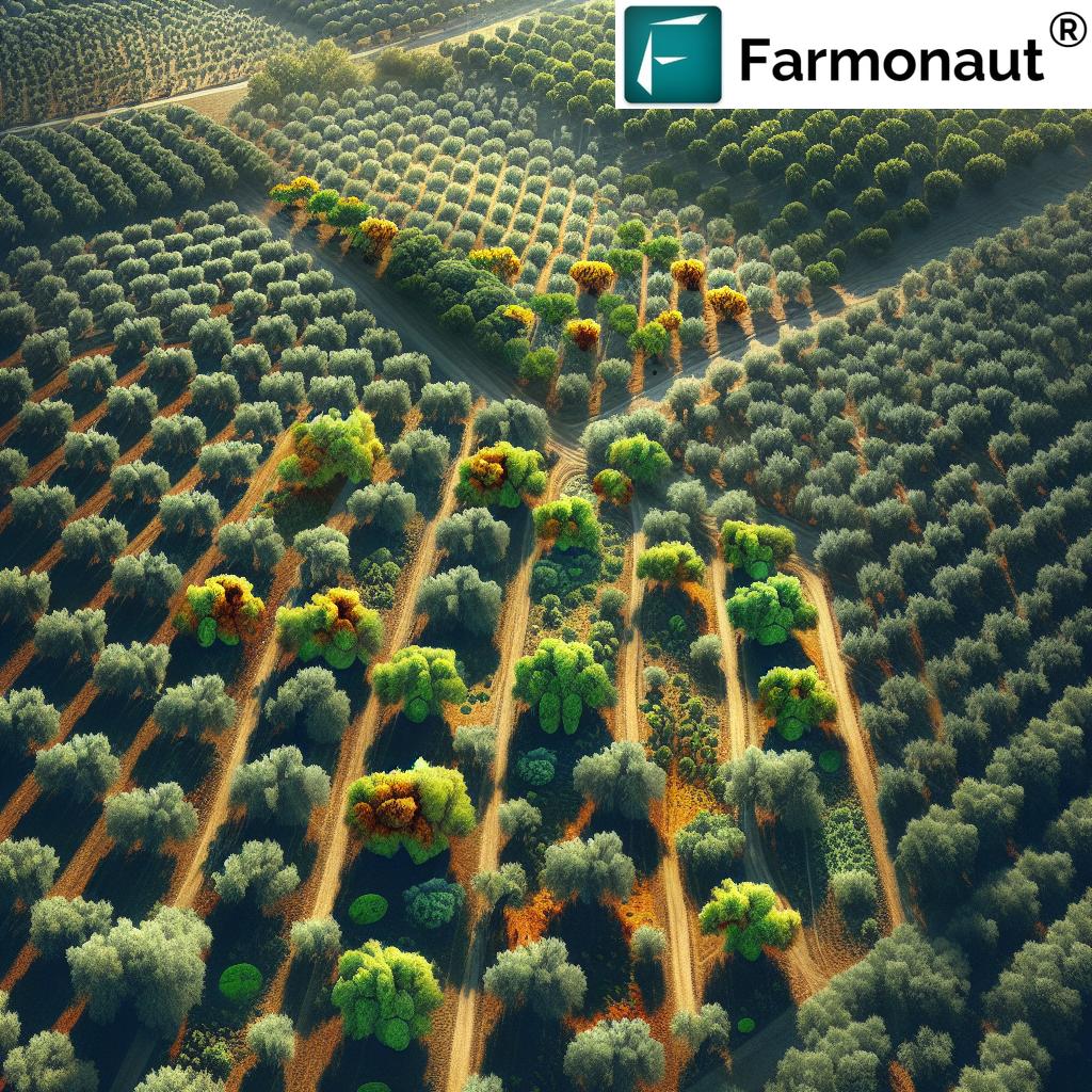
Satellite remote sensing crop health data has revolutionized precision agriculture technology, ushering in a new era of data-driven and sustainable agricultural practices. By providing real-time crop health monitoring, precise yield prediction, and advanced AI-powered insights, satellites have become indispensable tools for modern farmers. Whether you manage a few hectares or oversee extensive farming operations, satellite technology and vegetation indices for crop assessment now enable you to implement precision farming techniques, optimize resource usage, and increase yields while ensuring environmental sustainability.
“Satellite crop health data can monitor up to 10,000 hectares in a single scan, revolutionizing large-scale farm management.”
Understanding Satellite Remote Sensing in Agriculture
Satellite remote sensing in agriculture refers to collecting and analyzing data about Earth’s surface by using satellite-based sensors. Unlike ground surveys that provide micro-level detail for small plots, satellites provide a macro perspective over vast land cover areas, perfectly complementing localized observations. In agriculture, remote sensing technology captures information on crop health, soil moisture levels, environmental conditions, and changes across seasons and years.
This approach is beneficial for multiple reasons:
- Enables comprehensive monitoring of large farming operations
- Provides timely data for critical management decisions
- Helps in assessing the health and growth of crops using quantitative indices
- Supports early detection of potential stress factors such as drought, pest, or disease
- Improves resource allocation and yields through precision agriculture
Satellite imagery is rapidly becoming the backbone of environmental monitoring in agriculture, giving agriculturalists unprecedented control and actionable insights into their operations.
Key Satellite Sensors and Missions in Agricultural Monitoring
Agricultural remote sensing would not be possible without robust satellite missions and advanced sensors. Several flagship missions offer indispensable data for agriculturalists:
Sentinel-2 (European Space Agency Copernicus Programme)
- Part of the Copernicus Programme by the European Space Agency
- Uses optical and multispectral sensors
- High-resolution imagery (10m) with a 10-day revisit cycle
- Key for assessing vegetation health, mapping land cover changes, and water quality (Read more)
Landsat Program (NASA & U.S. Geological Survey)
- Joint program by NASA and the U.S. Geological Survey
- Provides imagery since the 1970s, a cornerstone for monitoring crop growth and land use changes
- Offers historical context for analyzing environmental and agricultural changes
(Read more)
Other significant contributors include MODIS, WorldView, PlanetScope, and commercial satellites delivering high-resolution data. These missions form the backbone of precision crop health monitoring, soil moisture analytics, and continuous assessment of environmental conditions.

Vegetation Indices for Crop Assessment: How Satellite Data Powers Yield Prediction
Vegetation indices are mathematical combinations of spectral bands designed to quantify the status and health of plant canopies. The most widely used index in precision agriculture technology is NDVI – Normalized Difference Vegetation Index – which is calculated using the red and near-infrared bands.
-
NDVI (learn more):
- Formula: (NIR – Red) / (NIR + Red)
- Values range from -1 to 1; higher values indicate denser, healthier vegetation
- Essential for assessing crop vigor, detecting stress, and estimating agricultural yields
- EVI (Enhanced Vegetation Index): Designed to overcome NDVI’s limitations in areas with dense vegetation or atmospheric distortions.
- Other indices: GNDVI, SAVI, PRI, and custom indices tailored for specific regional or crop requirements.
These indices form the backbone of modern crop health monitoring, allowing farmers to detect patterns of stress, manage resources efficiently, and forecast yields with high accuracy.


Applications of Satellite Remote Sensing Data in Precision Agriculture
Modern satellite remote sensing is a foundation for precision agriculture technology, enabling diverse, high-impact applications for farmers.
1. Crop Monitoring and Stress Detection
Satellite imagery for farming allows for continuous monitoring of crop health across entire fields or farms. By analyzing vegetation indices:
- Farmers receive early warning for stress factors like drought, disease, or pest infestation
- Interventions can be targeted and timely, reducing yield losses
- Read about advanced satellite monitoring in agriculture
2. Precision Agriculture & Resource Management
By analyzing satellite data, farmers and agronomists can:
- Apply water, fertilizers, and pesticides with precision
- Reduce costs by minimizing unnecessary inputs
- Minimize environmental impact—conserving soil health and protecting water bodies
- Farmonaut’s platform delivers resource management tools that optimize inputs and boost productivity. See our Fleet Management tools to maximize farming logistics.
- Learn more about using satellite remote sensing for agriculture
3. Agricultural Yield Prediction & Forecasting
Satellite data helps with agricultural yield prediction by tracking growth patterns, environmental changes, and crop development:
- Accurate yield forecasts improve market planning and help ensure food security
- Supply chains benefit from data-driven volume and timing insights
- This is central to Large Scale Farm Management with Farmonaut, enhancing decision-making for broad operations
4. Disease and Pest Detection in Crops
Hyperspectral satellite imaging detects changes in plant reflectance—a sign of disease or pest invasions.
- Allows early pest and disease detection in crops before visual symptoms emerge
- Paving the way for timely interventions, reducing the need for extensive pesticide application and safeguarding crop yields
5. Soil Moisture & Irrigation Management
Soil moisture monitoring is critical for efficient irrigation and resource optimization.
- Thermal satellites and SAR sensors provide detailed soil moisture data
- Farmers can schedule water applications, maximizing uptake and reducing waste
- See our AI Crop, Plantation & Forestry Advisory for advanced water and crop management solutions
- Explore how remote sensing boosts irrigation in agriculture

6. Crop Insurance & Risk Management
Modern crop insurance is powered by satellite data that offers:
- Index-based insurance payouts, triggered by soil moisture or vegetation health levels
- Reduced fraud and faster settlement for both farmers and insurers
- At Farmonaut, we provide satellite-based crop loan & insurance solutions for secure, data-driven agriculture finance.
- Discover how remote sensing is transforming crop insurance
7. Environmental Monitoring in Agriculture
Beyond immediate farm operations, remote sensing technology tracks environmental health parameters, supports sustainability, and helps monitor carbon sequestration efforts. Farmonaut’s Carbon Footprinting tools empower agribusinesses in reducing emissions and documenting sustainable farming practices.
7 Yield Tips for Farmers Using Satellite Crop Health Data
Precise use of satellite remote sensing crop health data can drive measurable yield improvements. Here are seven actionable tips, integrating the latest in remote sensing, AI, and agricultural best practices:
-
Combine Multiple Indices for Robust Assessment:
Use NDVI in conjunction with EVI, GNDVI, and soil moisture indices to gain a holistic picture of your fields. Each index highlights different stress or growth parameters, leading to better detection and management decisions. -
Monitor Crop Health Frequently:
High-frequency satellite data lets you spot patterns and issues early. Set up weekly imagery reviews during active growth phases for timely interventions. Farmonaut provides customizable data update options for varying frequencies. -
Integrate Historical and Real-Time Data:
Analyze long-term changes using platforms like the Landsat Program. Combine historical trends with live data to forecast yield, identify recurring stress zones, and develop proactive management strategies. -
Automate Alerts for Rapid Response:
Use tools that deliver alerts for sudden vegetation index drops, spikes in canopy temperature, or signs of water stress. Early warning systems help in reducing losses and maximizing productivity. -
Leverage AI-Driven Advisory:
Platforms like Farmonaut’s Jeevn AI advisory system analyze satellite data and deliver crop-specific guidance, weather forecasts, and expert tips—ensuring informed decisions on irrigation, fertilizer, and pest/disease management. -
Use Satellite-Verified Data for Loans & Insurance:
Reliable crop and soil health records make it easier to access agri-finance and insurance, and help reduce the risk of disputes. Farmonaut’s satellite-based loan and insurance verification helps streamline claim processes. -
Document and Benchmark for Sustainability:
Track and compare your carbon emissions, water use, and resource application rates. Farmonaut’s Carbon Footprinting solution helps demonstrate compliance with sustainability standards, which can be important for market or regulatory access.
How Farmonaut Empowers Precision Agriculture
As a pioneering agricultural technology company, we at Farmonaut are committed to making satellite-based crop health monitoring affordable and accessible for all farmers. Our mission is to integrate state-of-the-art remote sensing technology and AI-driven insights into everyday agricultural practices, empowering both smallholders and large-scale operations to enhance yields and sustainability.
-
Farmonaut App Ecosystem: Our Android, iOS, and web/browser applications offer:
- Intuitive dashboards and real-time satellite data for any field or crop type
- Historical and current vegetation maps, soil moisture, and more with just a few taps
- Crop condition analytics powered by leading NDVI-based algorithms
- Jeevn AI & Blockchain Traceability: We deliver AI-based advisory systems for informed irrigation, fertilizer, and pest management, plus product traceability solutions that promote transparency from farm to fork.
- Fleet & Carbon Management: Our fleet management modules optimize your agricultural logistics, while carbon tracking tools help align with global sustainability targets.
- Flexible Access & API Integrations: We extend our services through convenient subscriptions. Custom API access (API Documentation, Developer Docs) lets agritech businesses or research groups bring cutting-edge satellite data directly into their platforms and workflows.
Use Farmonaut’s cross-platform tools to monitor, manage, and analyze fields from anywhere — unlocking the true power of remote sensing data in agriculture.
Comparison Table: Remote Sensing Technologies vs. Crop Health Parameters
| Remote Sensing Technology | Data Captured | Estimated Data Frequency | Application In Yield Optimization | Estimated Accuracy (%) |
|---|---|---|---|---|
| NDVI (Normalized Difference Vegetation Index) | Vegetation vigor, chlorophyll content | 5–10 days | Detect crop stress early; auto-intervention guidance | 80–90% |
| EVI (Enhanced Vegetation Index) | Dense vegetation health, atmospheric correction | 5–10 days | Measures high biomass crops accurately; reduces data noise | 78–88% |
| LIDAR | Crop height, canopy structure, topography | Monthly (airborne); rare (satellite) | Maps plant growth patterns and field variability | 85–95% |
| SAR (Synthetic Aperture Radar) | Soil moisture, surface roughness | 6–12 days | Improves irrigation scheduling and flood-risk mapping | 75–85% |
| Thermal Infrared Sensing | Canopy temperature, evapotranspiration rates | Weekly | Identifies water stress for precision irrigation | 80–87% |
| Hyperspectral Imaging | Crop disease/pest detection, nutritional deficiencies | Monthly | Improves rapid diagnosis and variable-rate treatment | 77–92% |
Recent Advancements: AI Integration in Agricultural Monitoring
The intersection of AI in agricultural monitoring and satellite data is redefining farm analytics.
Through AI-powered algorithms, modern platforms:
- Predict soil organic carbon levels, supporting sustainable farming
- Automate identification of crops, growth stages, and stress areas
- Develop digital soil maps and facilitate carbon sequestration and MRV
- Deliver near-real-time, actionable advisories—Farmonaut’s Jeevn AI is a prime example, blending satellite imagery and weather data for truly informed, prompt decision-making
With continuous refinement, AI-driven systems enable farmers to:
- Identify disease or pest symptoms from subtle spectral changes
- Streamline resource management—such as just-in-time irrigation or variable-rate fertilizer application
- Accelerate response during climatic extremes through predictive risk insights
For more on how AI is expanding the frontier in precision agriculture, see
AI-driven advancements in regenerative agriculture
Challenges, Considerations & The Future of Satellite Remote Sensing in Agriculture
While satellite remote sensing in agriculture offers a transformative leap for modern farming, several challenges and considerations remain:
- Data Interpretation: Extracting actionable insights from vast, multidimensional satellite data requires advanced software and domain expertise. Farmonaut’s easy-to-use interfaces and AI-driven guidance help bridge this gap.
- Cloud Cover & Atmospheric Obstructions: Persistent clouds or atmospheric changes can lead to gaps in optical imagery. This is mitigated by multi-source data: radar images, weather feeds, and data fusion.
- Resolution, Cost, & Accessibility: High-resolution or frequent images may incur significant costs if not managed efficiently. Farmonaut’s subscription-based model makes precision agriculture more accessible and affordable for all user segments.
- Privacy & Data Security: Ensuring that farm-level data stays secure and compliant with regulations is a growing concern, addressed by platforms with robust data policies and, when necessary, blockchain traceability.
Future Outlook: Evolving Tech for Agricultural Sustainability
The future trajectory of satellite remote sensing crop health data is toward greater accuracy, timeliness, and practicality:
- Emergence of constellations for daily, even hourly, coverage
- Deeper AI integration for hyper-local forecasting, yield prediction, and tailored advisories
- Expansion of blockchain traceability for supply chain confidence—see Farmonaut’s Traceability Tools
- Seamless integration between farm machinery, IoT, ground sensors, and satellite imagery for truly holistic precision agriculture
With these advancements, farmers and agriculturalists worldwide will increasingly benefit from actionable data, consistent productivity gains, risk reduction, and sustainable practices.
Frequently Asked Questions (FAQ)
What is satellite remote sensing in agriculture?
Satellite remote sensing in agriculture refers to using orbital sensors to collect data on fields’ physical and biological parameters (like plant health, soil moisture, and growth patterns) from space, enabling remote, frequent, and large-scale crop and soil monitoring.
How can satellite data improve crop yield prediction?
Satellite data provides accurate, continuous measurements of crop growth, vegetation indices (NDVI, EVI), temperature, and soil moisture. By correlating these with historical yield data and local weather, AI models can deliver highly precise yield forecasts, aiding timely interventions.
Which vegetation indices are most important for crop health assessment?
NDVI is the most widely used index for crop health, but combining NDVI with EVI, GNDVI, and hyperspectral indices allows for more detailed stress detection and yield estimation.
Can smallholder farmers benefit from satellite crop monitoring?
Absolutely! Platforms like Farmonaut provide easy, affordable access to satellite-driven crop monitoring and advisory services, ensuring both small and large farms benefit from precision agriculture technology.
What about cloudy weather or poor satellite coverage?
Synthetic Aperture Radar (SAR) and data fusion algorithms overcome many cloud limitations by using non-optical (microwave) sensing, ensuring that data is captured even during persistent adverse weather conditions.
What security or privacy risks are there with farm data?
Top-tier providers ensure all data is stored securely, with encryption and compliance protocols in place. Farmonaut also uses blockchain-based traceability for supply chain and data integrity.
How do I get started with satellite monitoring for my farm?
You can sign up with platforms like Farmonaut, choose the suitable package based on farm area and frequency, and begin tracking your crop and soil health from any device, anywhere in the world.
Conclusion: Transforming Food Production with Satellite and AI Technology
Satellite remote sensing crop health data has unlocked a new dimension for precision agriculture technology. It gives farmers and agriculturalists the tools to monitor, respond, and optimize in real time — delivering improved productivity, sustainability, and resilience in a world facing growing food security and environmental challenges.
At Farmonaut, we remain dedicated to democratizing advanced technology for global agriculture. Our complete ecosystem—integrating the latest satellite imagery, AI, blockchain traceability, and carbon footprinting—enables every producer, from small farm to large enterprise, to benefit from actionable insights and measurable results. As technology and data science evolve, our commitment to affordability, accessibility, and sustainable farming grows ever stronger.
Ready to harness the full potential of satellite and AI-driven agriculture? Join us by exploring the Farmonaut Platform or get in touch through the Contact Page.
Grow smarter. Farm sustainably. The future of agriculture is here.