

Client case study · Gold · Somalia
How Ileys General Trading Narrowed 200 Hectares to 22 Gold Targets in Somalia
Ileys General Trading used satellite gold exploration in Somalia to narrow 200 hectares to 22 target zones covering about 9% of the land. The company then drilled, ran laboratory tests and reports finding gold mineralisation, saving 1 to 3 months and up to US$25,000.
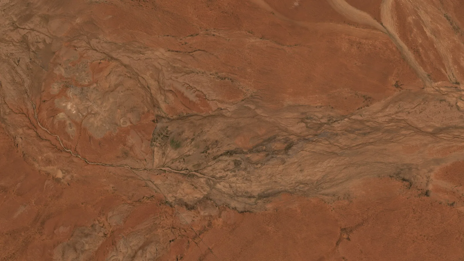
Key takeaways
- Ileys General Trading, part of the ILEYS group, in business across the Horn of Africa since 1993 and now working as a gold and copper exploration company, narrowed its 200-hectare gold concession to 22 target zones covering 17.45 ha, about 9% of the land.
- Four priority zones hold about 87% of the report’s estimated gold, so first drilling could focus on a small part of the ground.
- The report gives an exploration target of about 1.7 million tonnes at estimated grades of 1.62 to 2.29 g/t, starting about 27 to 28 m below surface.
- Ileys then drilled, ran laboratory tests and reports finding gold mineralisation.
- The client reports saving 1 to 3 months and up to US$25,000. These are the client’s own estimates.
In this article
- Who Ileys General Trading is and what the project set out to answer
- Why a 200-hectare gold project in Somalia needs a clear starting point
- How satellite gold exploration in Somalia worked on this project
- What the report found across the 200 hectares
- Depth, shape and access: why these targets suit a first programme
- The drill plan: 10 priority zones and a phased programme
- Drilled, lab-tested and mineralisation found: the results Ileys reports
- What other gold explorers can learn from this case
- Satellite gold exploration Somalia: frequently asked questions
Who Ileys General Trading is and what the project set out to answer
Ileys General Trading is a Farmonaut mining client in Somalia and part of ILEYS, a privately owned group of companies from Somaliland, in northern Somalia. On its official website, the group describes itself as a leading manufacturing, import and export business in the Horn of Africa, with a multi-million dollar turnover, and says it has been trusted across the region since 1993. It began in building materials in Burao in 1993, added detergent manufacturing in 2006, and today serves customers in Somaliland, the rest of Somalia, Djibouti and Ethiopia.
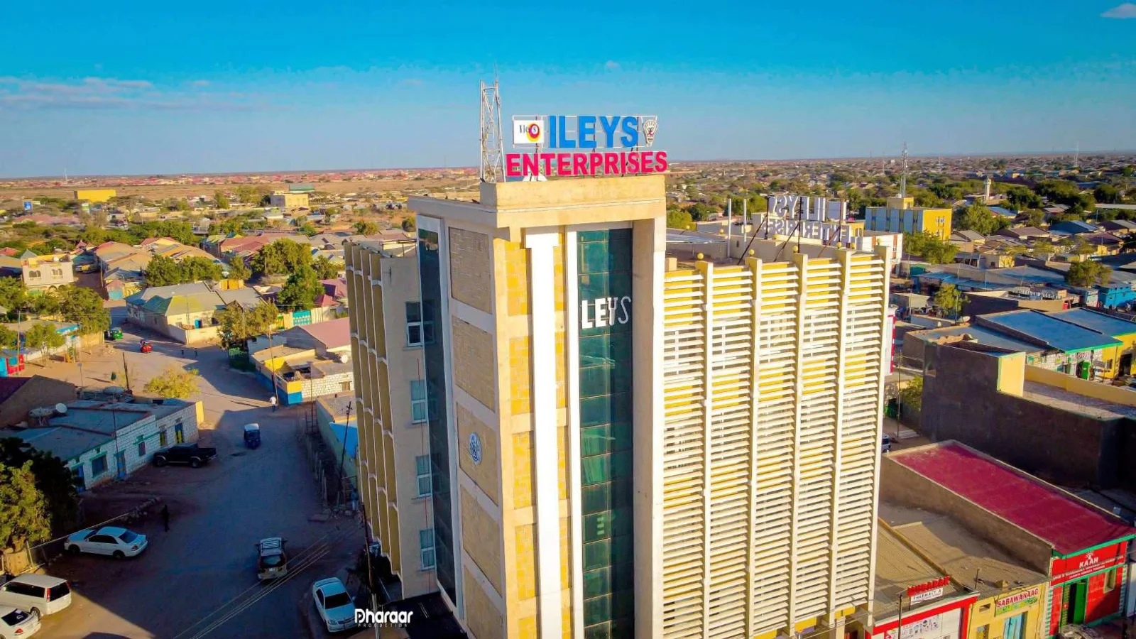
Ileys told us that it now works as an exploration company for the mining sector, with gold and copper as its focus. It is going about that work the way a serious explorer should: satellite imaging first to choose targets, then sampling, drilling and laboratory testing to verify them.
The company is working across three exploration sites. The 200-hectare gold concession in this case study is the first of them to be mapped by Farmonaut, and Ileys is now lining up geological exploration work for the other two.
Its gold project shows that sequence from start to finish. Ileys commissioned a full satellite study of a 200-hectare concession, drilled the targets it produced, sent samples to a laboratory and reports finding gold mineralisation. Many early-stage projects stop at the map. Ileys carried its targets all the way to physical evidence.
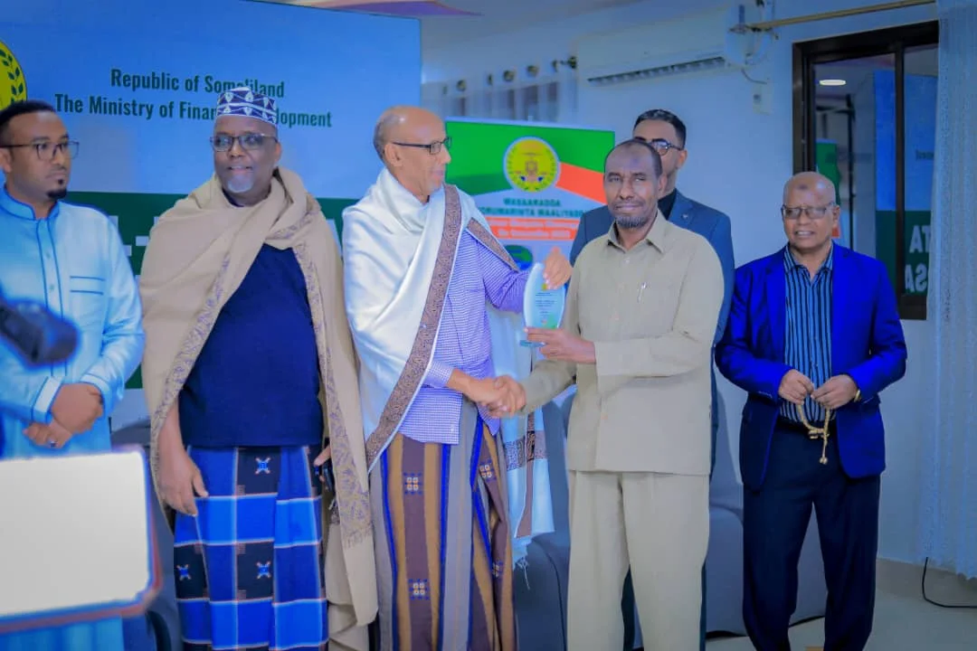
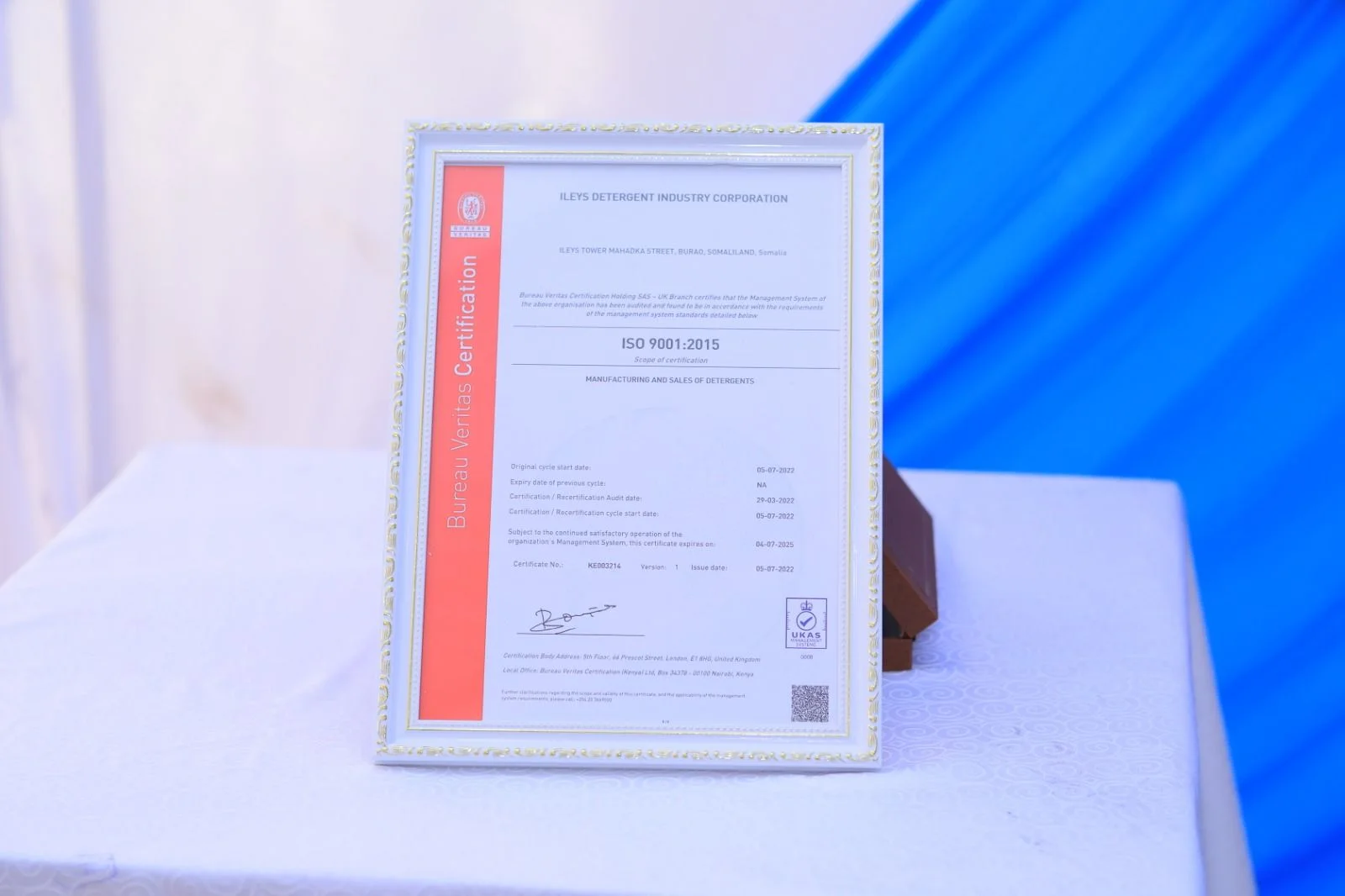
That background matters in exploration. Drilling contracts, laboratory work and land access all depend on a company that runs to a standard, pays what it owes and is known to the authorities. Ileys brings three decades of business in the region, a certified operation and a recognised tax record to its mining work, and it has already shown that it will follow a satellite target through to the drill rig and the laboratory.
Local media in Somaliland have followed the group’s growth for years. When the new Ileys head office opened in Burao, the regional administration of Togdheer cut the ribbon.
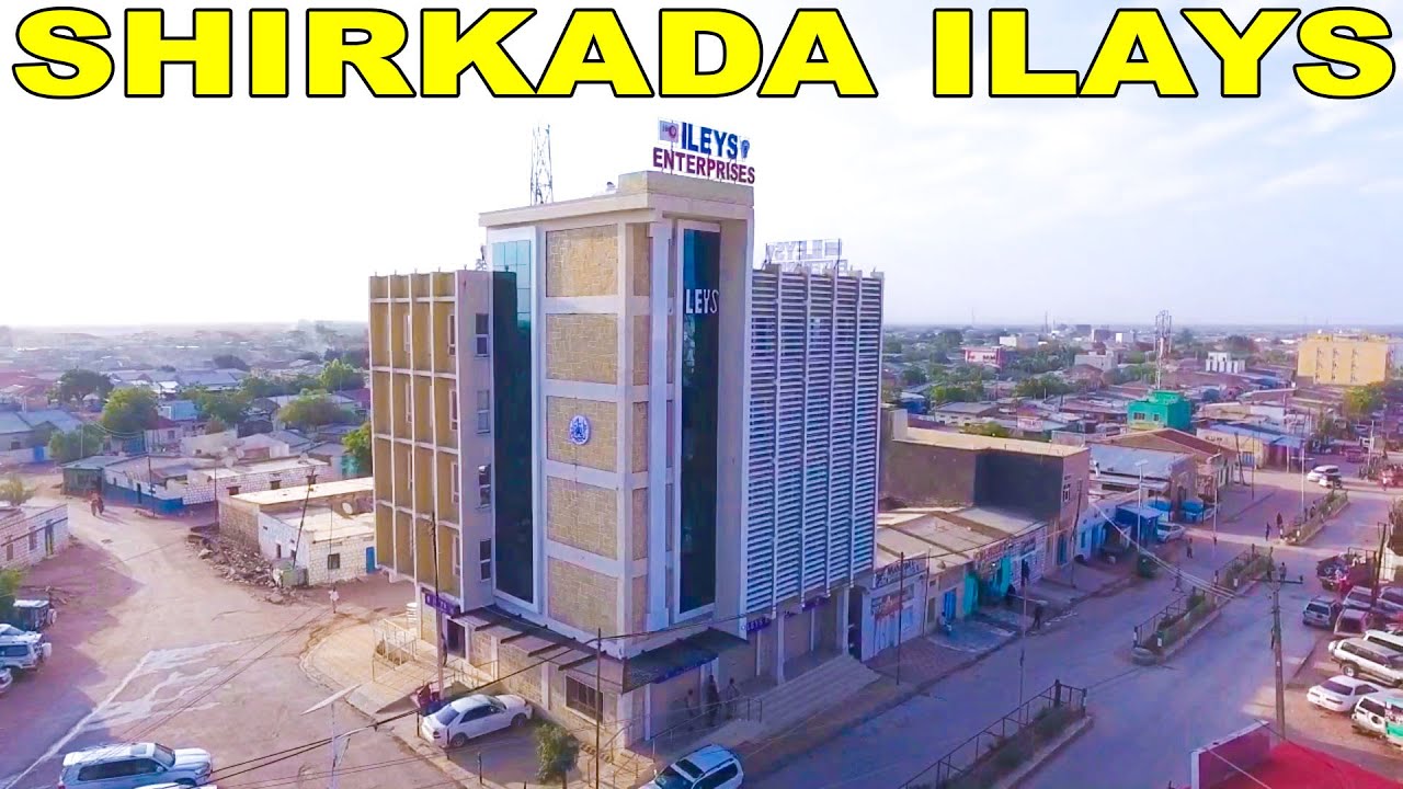
▶ News report in Somali, Horn Cable TV, September 2020: the Togdheer regional administration opens the new Ileys head office in Burao. Video © Horn Cable TV. · 4:10
The group’s ISO 9001:2015 certificate was news too, covered by Horn Cable TV when it was presented in December 2022.
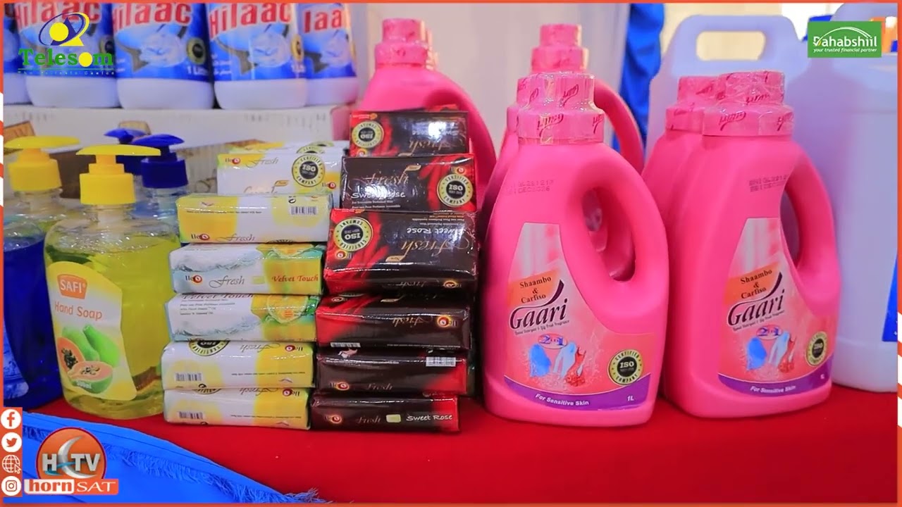
▶ News report in Somali, Horn Cable TV, December 2022: Ileys receives its international ISO certificate. Video © Horn Cable TV. · 5:19
For a longer look at the business, this feature from Hereri Media covers how Ileys products reach markets from Djibouti to Kenya.
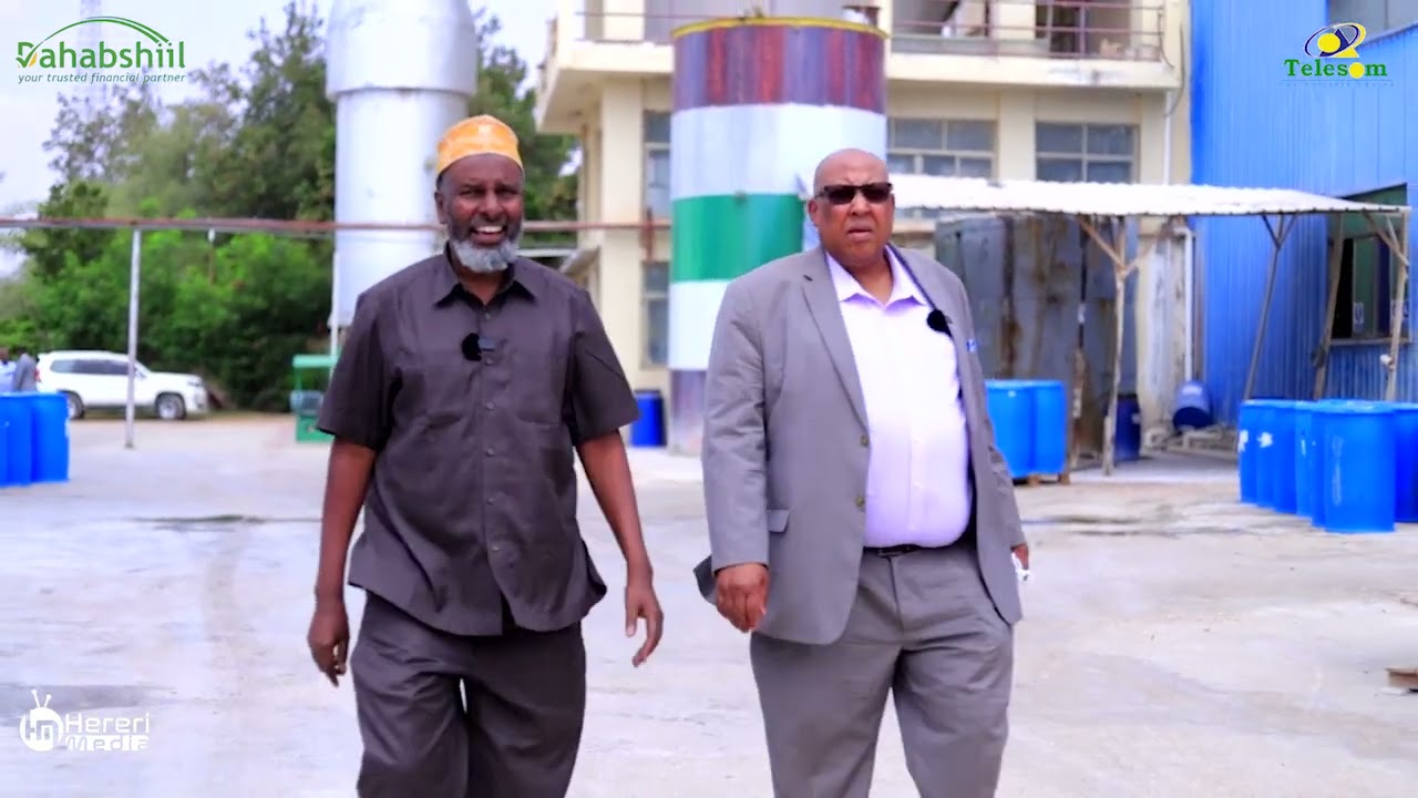
▶ Feature in Somali, Hereri Media, August 2023: how Ileys products reach markets from Djibouti to Kenya. Video © Hereri Media. · 45:43
The company came to us with a 200-hectare concession in the north of the country, about 2 square kilometres of ground, and one clear question: where on this land should gold exploration start? This case study shows how satellite gold exploration in Somalia helped answer that question, and what happened when Ileys took the targets into the field.
The answer matters because 200 hectares is a lot of ground to test by hand. Walking it, sampling it and drilling it evenly would take months and a large budget. A ranked list of targets lets a company put its people, its equipment and its money on the small part of the land that shows the strongest signs first.
The project used our satellite-based mineral detection service at the Premium+ level. That level includes mapped target zones, depth estimates, a quantity estimate, terrain and strip-ratio figures, and a recommended drilling direction, angle and depth for the leading targets. The report was delivered in March 2026.
Ileys gave us that statement on our client feedback form, with permission to publish it. On the same form, the company confirmed that the analysis helped narrow down locations, reduced time and reduced cost. It also told us that the ground has since been drilled, that laboratory testing has been done and that gold mineralisation was found. We go through each of those answers later in this article.
That last point is what makes this project stand out. Many case studies end at the target map. This one continues to the drill rig and the laboratory, which is exactly the path a satellite target is meant to start.
Why a 200-hectare gold project in Somalia needs a clear starting point
Somalia is a frontier for mineral exploration. The US Geological Survey notes that mineral production made up only a minor part of Somalia’s economy in 2019, and that the sector is still governed by the Mining Law of 1984. In practice, that means there is little modern public exploration data to build on. A company working its own ground often starts with very little: no detailed geological maps, no earlier drilling and no grid of soil samples.
In that situation, every early decision carries more weight. The usual ways of finding a place to drill all take time and money before the first hole goes in:
- Walking the ground: geological mapping shows what is exposed at the surface, but it takes skilled people many days to cover 200 hectares properly.
- Soil and rock sampling: sampling gives real chemical results, but a grid across the whole concession needs field crews, transport and laboratory fees for every sample.
- Ground geophysics: magnetic and electrical surveys can see below the surface, but they need specialist crews and equipment on site.
- Drilling on instinct: this is the fastest way to get an answer, and also the most expensive way to get a wrong one.
Satellite analysis sits in front of all of these steps. It does not replace them. Its job is to tell a company which small part of the ground to look at first, so the mapping, the sampling and the drill rig all start in the same place.
That was the job here. The report gave the 200 hectares an order of priority, with depths, shapes and drill directions attached to the leading targets. Ileys could then plan field work around about 17 hectares instead of 200.
How satellite gold exploration in Somalia worked on this project
The client’s part was simple. Ileys sent the boundary of the concession and named gold as the target mineral. No one needed to visit the site for this stage, and no ground was disturbed. Everything that follows was done from satellite and terrain data.
Infographic
How the project moved from a boundary to drilled targets
- 1Send the boundaryIleys sent the outline of its 200-hectare concession and named gold.
- 2Analyse from space182 satellite scenes from 2020 to 2025 were combined into one gold potential map.
- 3Rank the targets22 zones were mapped, with depths, strip ratios and a share of the estimated gold.
- 4Plan the drillingThe 10 leading zones received a direction, angle, hole depth and hole count.
- 5Drill and testIleys drilled, ran laboratory tests and reports finding gold mineralisation.
The report built a picture of the ground from more than five years of images. In total, 182 satellite scenes taken between January 2020 and June 2025 were processed for this one concession. Using so many images is what lets the analysis tell a lasting rock signal apart from something that comes and goes.
- Landsat 8 and Landsat 9: these US satellites carry sensors that see visible, near-infrared and shortwave-infrared light, which is where many altered rocks show their colour. Landsat 9 extends the same record.
- Surface reflectance data: the images used are Collection 2 Level-2 products, which are already corrected for the atmosphere. That makes measurements comparable from one date to the next.
- Sentinel-2: this European mission adds frequent, detailed optical images of the same ground.
- SRTM elevation model: the Shuttle Radar Topography Mission supplies 30-metre elevation and slope, used to set aside ground that is not suitable as a target.
Clouds and shadows were masked out of every image first, so only clear views of the ground were used. The clean images were then grouped into a dry-season picture, from November to May, and a wet-season picture, from June to October. The dry season shows bare rock and soil with little plant cover. The wet season helps separate rock signals from short-lived vegetation.
From those pictures, the analysis mapped five families of signs that are often found around gold deposits:
- Phyllic alteration: white mica minerals such as sericite, formed where hot fluids have passed through rock.
- Argillic alteration: clay minerals such as kaolinite, common in the upper parts of a mineralised system.
- Silicification: zones where silica has been added to the rock, which can go with quartz veining.
- Propylitic alteration: minerals such as chlorite and epidote, which often form a wider halo around a deposit.
- Iron oxides: rust-coloured minerals such as hematite and goethite, which can form a cap over weathered sulphides.
Those signs were combined into one map of gold potential, called the Gold Potential Index. A place scores higher when several signs agree, and when the signal stays steady from year to year. A signal that shows up in every year from 2020 onwards is much more likely to come from the rock itself than from a ploughed field or a green season.
▶ How satellites look for signs of gold, explained through a real report. · 18:54
The report classifies all 22 zones as gossan-style targets. A gossan is rust-coloured oxide material that can cap an ore deposit, formed when sulphide minerals weather near the surface. Prospectors have used gossans as a clue for a very long time. Here, the label is a satellite interpretation that a geologist on the ground can confirm, which is exactly what the field programme went on to do.
What the report found across the 200 hectares
The analysis found 22 target zones inside the concession. Together they cover 17.45 hectares, which is about 9% of the land checked. For planning purposes, that means the first field work could focus on less than one hectare in every ten.
Chart
Target zones cover about 9% of the land checked
Hectares, across the 200-hectare concession
The zones are not equal. One large zone, Zone 22, runs for about 1.5 kilometres and covers about 7.6 hectares on its own. Three more, Zones 9, 1 and 5, are also long and well defined. The other 18 are smaller targets of up to about 4,400 square metres each, and are useful follow-up targets once the main ones have been tested.
Here is how the leading zones compare. We use the zone numbers from the report so that the figures can be matched to the drill plan later in this article.
| Target zone | Footprint | Strike length | Estimated depth | Strip ratio | Share of modelled gold |
|---|---|---|---|---|---|
| Zone 22 | 7.62 ha | 1,462 m | 28–148 m | 0.23 | 64.3% |
| Zone 9 | 2.30 ha | 647 m | 27–98 m | 0.38 | 11.6% |
| Zone 1 | 1.51 ha | 409 m | 28–87 m | 0.48 | 6.3% |
| Zone 5 | 1.33 ha | 477 m | 28–84 m | 0.50 | 5.2% |
| Zone 11 | 0.89 ha | 263 m | 28–76 m | 0.58 | 3.0% |
| Zone 13 | 0.44 ha | 107 m | 28–65 m | 0.76 | 1.4% |
| Other 16 zones | 3.36 ha | 59–128 m each | 27–62 m | 0.82–1.04 | 8.2% |
| All 22 zones | 17.45 ha | 27–148 m | 0.85 average | 100% |
Source: Farmonaut detection report for Ileys General Trading, March 2026. Strip ratio is tonnes of waste rock per tonne of target rock. Shares are of the report’s central gold estimate and are rounded.
The clearest message from the table is concentration. The four largest zones hold about 87% of the gold estimated in the whole concession, and Zone 22 alone holds almost two thirds of it. That gives a project a natural order of work: test Zone 22 first, then Zones 9, 1 and 5, and only then spread out to the smaller targets.
Chart
Four zones hold about 87% of the estimated gold
Share of the report’s central gold estimate, %
The report puts the estimated grade of the 22 zones in a band of about 1.62 to 2.29 grams of gold per tonne of rock. Grams per tonne, written g/t, tells you how much gold is estimated in each tonne. Six of the smaller zones sit at the top of that band, above 2.28 g/t, which makes them worth a look once the larger zones have been tested.
Across all 22 zones, the report estimates about 1.7 million tonnes of target rock. Its central estimate of contained gold is about 2,780 kg, or about 89,000 troy ounces. Gold in the ground is not all recovered in a plant, so the report also tests three recovery cases, from 72% to 87%. Those cases give a band of about 2,010 to 2,430 kg of recoverable gold.
If you want to test the same arithmetic on a target of your own, the calculator below turns tonnage and grade into contained gold and a gross value. Gross value is simply gold multiplied by price. It does not subtract mining, processing or any other cost, so it is a way to compare targets, not a forecast of profit.
Calculator
What is a gold target worth on paper?
Enter your own target. All amounts are in US dollars.
- Contained gold (kg): 10.0
- Contained gold (troy oz): 322
- Value after recovery (US$): $1,028,823
Example values only, not a benchmark, and not related to this project. 1 troy ounce is 31.1035 g. The gold price is an example, so check today’s price. Gross value is before mining and processing costs.
Depth, shape and access: why these targets suit a first programme
A target is only useful if a project can reach it. The report looks at three practical questions for each zone: how deep it starts, how deep it goes and how much waste rock sits around it.
The answer to the first question is encouraging. Every zone is estimated to start at about 27 to 28 metres below the surface. That is well within reach of standard exploration drilling, and it means the first holes can test the top of each target quickly.
Chart
Estimated depth of the leading zones
Metres below surface, top to base of each zone
The larger zones also go deeper. Zone 22 is estimated to extend to about 148 metres, Zone 9 to about 98 metres and Zone 1 to about 87 metres. A long zone that also runs deep is exactly the kind of target a drilling programme wants to test early, because one good result can say a lot about a large volume of rock.
The report also gives each zone a strip ratio. This is the estimated tonnes of waste rock that would have to be moved for each tonne of target rock in a surface mine. Lower is better. Across the concession, 21 of the 22 zones have a strip ratio below 1.0, and the average is about 0.85. Zone 22 has the lowest ratio of all, at about 0.23.
Two more checks help field planning. The report rates terrain access as high for all zones, and the zones sit on fairly level ground at about 955 to 960 metres above sea level. That makes it easier to plan how a rig and a field crew would reach each site.
The report also gives each zone a structural confidence score based on how well it lines up with mapped faults and fractures, which are the paths that gold-bearing fluids tend to follow. All 22 zones score above 118, against a threshold of 100 that the report treats as a well-defined target. The larger zones also show the strongest continuity along their length.
What Ileys received went beyond the PDF report. The data pack included a GeoTIFF map of gold potential across the whole concession, GeoJSON outlines of every zone, a terrain model and a coordinate table for each target with a map link for field checks. A geologist can open these in standard mapping software and lay them over field notes, sample points or licence boundaries.
The drill plan: 10 priority zones and a phased programme
A map of targets is useful, but a project also needs to know how to test them. This is where the Premium+ report goes further. For the 10 zones with the most estimated gold, it gives a suggested drilling direction, angle, hole depth and an estimated number of holes.
The idea behind the direction is simple. A hole drilled across a target tests it better than one drilled along it. So each suggested hole points across the estimated trend of its zone and is angled at 70 degrees below horizontal. The hole depth is worked out from the zone’s estimated maximum depth and that angle.
| Target zone | Direction | Angle | Suggested hole depth | Strike length | Estimated holes |
|---|---|---|---|---|---|
| Zone 22 | 152° | -70° | 189 m | 1,462 m | 26 |
| Zone 9 | 134° | -70° | 125 m | 647 m | 11 |
| Zone 1 | 133° | -70° | 111 m | 409 m | 7 |
| Zone 5 | 151° | -70° | 107 m | 477 m | 8 |
| Zone 11 | 146° | -70° | 97 m | 263 m | 4 |
| Zone 13 | 143° | -70° | 83 m | 107 m | 2 |
| Zone 10 | 145° | -70° | 79 m | 119 m | 2 |
| Zone 19 | 134° | -70° | 75 m | 89 m | 2 |
| Zone 8 | 152° | -70° | 75 m | 89 m | 2 |
| Zone 20 | 149° | -70° | 75 m | 128 m | 2 |
| Total | 66 |
Source: Farmonaut detection report for Ileys General Trading, March 2026. Directions and depths are rounded. A geologist and drilling contractor confirm the final plan on site.
Chart
Suggested drill holes by target zone
Estimated number of holes, 66 in total across 10 zones
The report then sets out a phased plan, which is the normal way to explore a property like this:
- Phase 1, priority zones: drill Zones 22, 9, 1 and 5 first, using reverse-circulation and diamond drilling. These four zones hold about 87% of the estimated gold and account for 52 of the 66 suggested holes.
- Phase 2, secondary zones: drill the remaining zones, starting with the six smaller zones that have the highest estimated grades.
- Phase 3, resource definition: drill more closely spaced holes, about 25 metres apart, inside the confirmed zones, so that a qualified person can estimate a formal resource.
Ileys told us that the ground has now been drilled and that laboratory tests have been done. The targets did the job they were designed for: they gave the company clear places to drill, and the drilling went ahead.
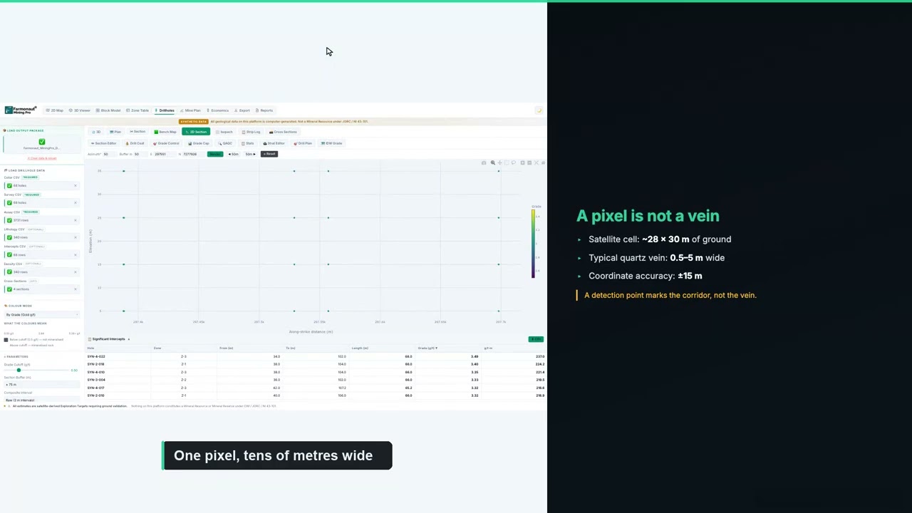
▶ How to plan a drilling programme once you have targets. · 5:49
If you are budgeting a similar programme, enter your own contractor’s rates below. The default values are round examples, not typical prices, because costs vary widely with location, rock type and rig availability.
Calculator
What would a first drill programme cost?
Enter your contractor’s quote. All amounts are in US dollars.
- Total metres: 1,000
- Cost per hole (US$): $12,500
Example values only, not typical prices. Costs vary with location, rock type and rig availability, so use real quotes from your contractor and laboratory.
Drilled, lab-tested and mineralisation found: the results Ileys reports
Ileys General Trading completed our client feedback form on 9 November 2026. Here is what the form records, in the company’s own selections:
- Narrowed locations: yes. The analysis helped narrow down where to look.
- Time: yes, it reduced time, with savings in the band of 1 to 3 months.
- Cost: yes, it reduced cost, with savings in the band of up to US$25,000.
- Drilling: yes, the ground has been drilled.
- Laboratory testing: yes, samples have been tested.
- Mineralisation: yes, gold mineralisation was found.
- Testimonial: yes, Ileys agreed to share a statement with us.
That is the full path from a satellite map to physical evidence. The satellite report said where to look. The company drilled there, sent the samples to a laboratory and reports finding gold mineralisation. For anyone wondering whether satellite targets lead anywhere real, this is the kind of answer that counts.
The time and cost answers fit the way this kind of study is meant to work. Time is saved because the slow job of working across all 200 hectares on foot is replaced by a short list of places to check. Cost is saved because people and equipment go to a smaller area, and because holes are drilled where the data points, not where someone guesses.
On a project of this size, those bands matter. A saving of one to three months can decide whether a programme fits inside a dry season. Money saved at the targeting stage can go toward the next round of drilling and assays instead.
The testimonial also looks ahead. Ileys says it would like to work with us “in a much deeper coordination” in Somalia. That fits where the company is heading. With two more sites and an interest in copper as well as gold, the same satellite-first approach can be repeated on new ground. On this concession, the next holes and assays can be used to refine, extend or re-rank the targets around the new results.
The work also suits a lighter way of exploring. Because the targeting happened from space, nothing was dug, cleared or driven across during that stage. Field disturbance was limited to the places that had earned a closer look.
What other gold explorers can learn from this case
Several parts of this project would work on other gold concessions, in Somalia or anywhere else with little earlier exploration.
- Start with the whole concession: a single study of all 200 hectares meant every zone was ranked against every other, so the order of work was clear from the start.
- Let concentration set the plan: when four zones hold about 87% of the estimated gold, those four are where the first money should go.
- Ask for depth and direction: a target map tells you where to look, while depth and direction tell you how to test it.
- Use the data files in the field: zone outlines and coordinates on a GPS make it easy for crews to find each target.
- Follow through to the laboratory: Ileys drilled and tested, which is the step that turns a satellite target into evidence.
- Build a pipeline of sites: Ileys is applying what it learned on its first concession to two more sites, rather than treating exploration as a one-off.

▶ A documentary on the modern race to find new gold. · 10:44
Getting a similar study for your own ground follows the same steps. Send your boundary as coordinates, a KML or KMZ file, or a polygon, and name your target mineral. Delivery usually takes 5 to 20 business days, depending on the size of the area and the mineral. You can map your mining site yourself or get a quote from our team.
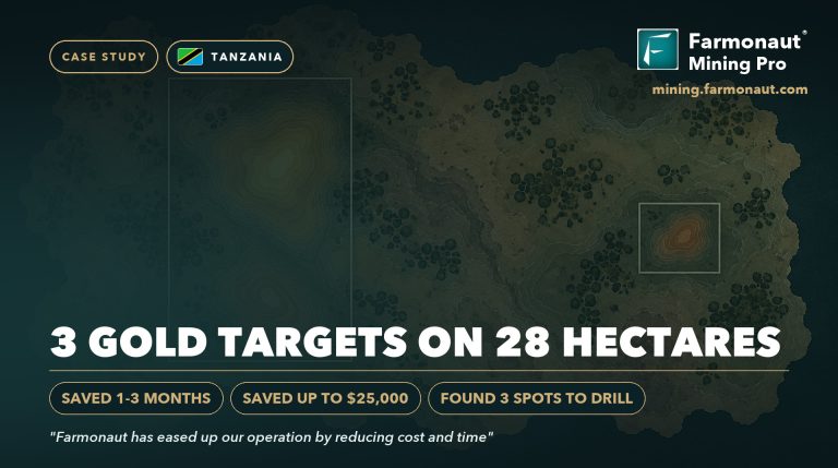
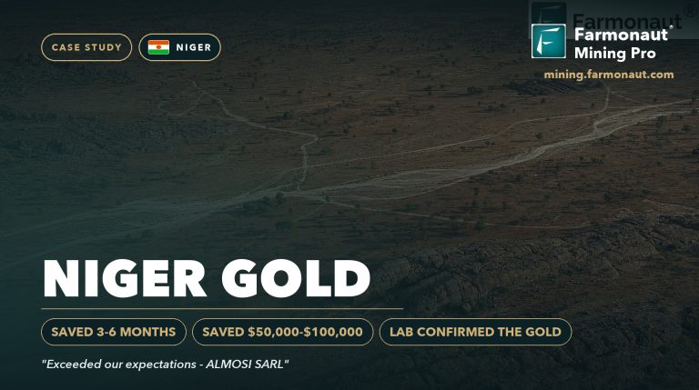
Want to see the same approach on other ground? Read how a client in Tanzania narrowed small parcels to three targets in our Tanzania gold case study, or see our Niger gold case study.
Satellite gold exploration Somalia: frequently asked questions
What did satellite gold exploration find on the Ileys General Trading concession in Somalia?
It found 22 target zones across 200 hectares, covering 17.45 hectares in total, or about 9% of the land. Four zones hold about 87% of the gold estimated in the report. Ileys then drilled, ran laboratory tests and reports finding gold mineralisation.
Who is Ileys General Trading?
Ileys General Trading is part of the Ileys group from Somaliland, in northern Somalia. It now works as an exploration company for the mining sector, focused on gold and copper across three sites. On its 200-hectare gold concession, Ileys used satellite targets to plan drilling, ran laboratory tests and reports finding gold mineralisation. The group has been in business since 1993, runs an ISO-certified detergent factory in Burao and has a trading company in Dubai.
How much time and money did the client save?
Ileys reported saving 1 to 3 months and up to US$25,000 on our feedback form. These are the client’s own estimates for this project.
Can a satellite detect gold directly?
No. Satellites detect signs that are linked with gold, such as altered rock, iron oxides and structures. The analysis combines those signs to rank where gold is more likely. Drilling and laboratory assays are what confirm gold and its grade. On this project, Ileys drilled the targets and reports finding gold mineralisation.
Is this a JORC or NI 43-101 resource?
No. The report gives an exploration target, which comes before a resource estimate. A resource under JORC or CIM definition standards needs closely spaced drilling, assays and a qualified person’s work.
How deep are the gold targets?
The report estimates that every zone starts at about 27 to 28 metres below the surface. The largest zone, Zone 22, is estimated to extend to about 148 metres.
Which satellites were used?
The report used Landsat 8, Landsat 9 and Sentinel-2 images, 182 scenes in all from January 2020 to June 2025, plus the SRTM elevation model for terrain and slope.
What is a gossan zone?
A gossan is rust-coloured oxide material that can cap an ore deposit. It forms when sulphide minerals weather near the surface, which makes it a useful clue about what may lie below.
What is a strip ratio?
It is the estimated tonnes of waste rock that must be moved for each tonne of target rock in a surface mine. Lower is better. On this concession, 21 of the 22 zones are below 1.0.
How long does a satellite gold report take?
Delivery usually takes 5 to 20 business days, depending on the size of the area and the mineral.
What do I need to send to get a report for my own land?
Send your boundary as coordinates, a KML or KMZ file, or a polygon, along with the country and your target mineral. Our team checks the boundary with you before the work starts.
Published with the client’s consent. All resource figures are satellite-based exploration targets and are not Mineral Resources or Ore Reserves under JORC, NI 43-101 or similar codes. Drilling, laboratory testing and the finding of gold mineralisation are reported by the client; assay results were not shared with us, and no grade from them is stated here. Time and cost savings are client-reported bands. Nothing here is investment advice. The exact location is withheld.
Farmonaut mineral detection
Map your mining site from space
Send your claim or licence boundary as KML, KMZ or a polygon. Farmonaut returns ranked satellite exploration targets for it, usually in 5 to 20 business days.

Keep reading
Sources
- ILEYS Enterprises, official website (home page): ileys.com
- ILEYS Enterprises, About Ileys: ileys.com
- ILEYS Enterprises, Awards and recognition: ileys.com
- Exporters India, Ileys General Trading LLC company listing: exportersindia.com
- US Geological Survey, Minerals Yearbook: Somalia (2019): pubs.usgs.gov
- US Geological Survey, Minerals Yearbook: Somalia (2017–18): pubs.usgs.gov
- USGS, Landsat 8 mission: usgs.gov
- USGS, Landsat 9 mission: usgs.gov
- USGS, Landsat Collection 2 Level-2 science products: usgs.gov
- NASA, Landsat Science: landsat.gsfc.nasa.gov
- Copernicus SentiWiki, Sentinel-2 mission: sentiwiki.copernicus.eu
- USGS EROS, Shuttle Radar Topography Mission (SRTM) 1 arc-second: usgs.gov
- USGS, Spectroscopy Lab: usgs.gov
- JORC, The JORC Code (2012 edition): jorc.org
- CIM, Definition Standards for Mineral Resources and Reserves: cim.org
- Encyclopaedia Britannica, Gossan: britannica.com
- Encyclopaedia Britannica, Hydrothermal ore deposit: britannica.com
- Minamata Convention on Mercury: minamataconvention.org
- LBMA, precious metal prices: lbma.org.uk
- Kitco, live gold price chart: kitco.com
Discussion
Questions, corrections or field experience? Share them below. First-time comments are reviewed before they appear, and your email is never published.
No comments yet. Be the first to add a question or your experience.

 GemSprout Metals Limited
 Qader Group
 Ileys General Trading
 SG Gold Mining LLC
 VRV Global Pte Ltd
 Omsri International FZE
 G.I.T.T.
 Jaunita Erss Ltd
 Almosi SARL
 SRK Consulting
 Berks Gold Limited
 Mwerezi Minerals Company Limited
 Mining SARL
 SenGold Invest SAS
 Sean Mining Limited
 NTS Group (Pty) Ltd
 Mine4Africa
 Lithspo Minerals Limited











