

Reviewed August 2026 against USDA NASS, USDA Economic Research Service, and Frontiers in Environmental Science.
Try it: Estimated lime needed: – →
Soybeans need a soil pH of 6.0–7.5 to grow well, with the tight optimal band at 6.3–6.5 on mineral soils, according to USDA and Cornell CALS agronomy guidance and Ohio State Agronomy. Mapping that soil, and the water moving across it, at zip-code scale is now a remote sensing job: Landsat-8 resolves soil and water features down to 30 meters, and MODIS revisits the same ground every 1–2 days. That combination — fine spatial detail from one satellite, fast repeat coverage from another — is what turns a soil test from a single point in a field into a picture of an entire watershed or county.
This piece covers what soil type actually means for soybean planting decisions, how remote sensing identifies soil and surface water at the resolution farmers and land managers need, where environmental monitoring programs are using these tools today, and what the workforce data behind agriculture in states like North Carolina tells you about why this matters beyond the farm gate.

Soybeans and Soil Type: What the pH Range Actually Means
Soybean roots tolerate a wider pH range than the crop performs best in. USDA and Cornell CALS field crop guidance puts the workable range at 6.0–7.5 on loamy soils, but Ohio State Agronomy and USDA fertility research narrow the optimal window to 6.3–6.5 on mineral soils. Below that range, aluminum and manganese become more soluble and can reach toxic concentrations for the root system; above it, micronutrients like iron, manganese, zinc, and boron become less available, which shows up as interveinal chlorosis on younger leaves even when the soil test shows adequate nutrient levels.
Soil type drives pH in a second, indirect way: sandy soils buffer poorly and swing pH quickly after lime or acidifying fertilizer applications, while clay-heavy and high-organic-matter soils resist pH change and need proportionally more lime to shift the same half-point. This is why a blanket lime recommendation by county rarely fits a whole farm — the soil survey map unit matters as much as the pH reading itself.
Checking Your Own Soil Type and pH
The USDA’s Web Soil Survey (built on the SSURGO database) is the standard free reference for soil type by location in the United States, covering the great majority of agricultural counties, though the research brief for this article did not include a precise nationwide acreage figure — if you need that number, USDA NASS QuickStats and the NRCS Web Soil Survey documentation are the primary sources to check directly. For pH specifically, a lab soil test remains the only way to get an actual number for a given field; soil type maps tell you what to expect, not what you currently have.
| pH Range | Classification | Typical Soybean Response |
|---|---|---|
| Below 6.0 | Outside tolerance | Aluminum/manganese solubility risk, root restriction |
| 6.0–6.2 | Tolerable, sub-optimal | Adequate but not peak nutrient availability |
| 6.3–6.5 | Optimal (mineral soils) | Best balance of nutrient availability and toxicity avoidance |
| 6.6–7.5 | Tolerable, sub-optimal | Micronutrient availability begins declining |
| Above 7.5 | Outside tolerance | Iron/manganese/zinc deficiency risk, chlorosis |
The durable takeaway isn’t the number itself — pH shifts with lime applications, residue breakdown, and fertilizer choice — it’s the method: pull your field’s soil type from the Web Soil Survey, pull a current lab pH test, and compare both against the 6.3–6.5 optimal band before you decide whether liming is worth the cost this season.

Remote Sensing for Environmental Monitoring: How the Satellites Differ
“Remote sensing for environmental monitoring” covers a specific technical trade-off that determines which satellite is right for which job: spatial resolution versus revisit frequency. Landsat-8 delivers 30-meter spatial resolution, fine enough to distinguish soil type boundaries, delineate water bodies, and track vegetation stress at the scale of individual field zones, per USGS data summarized in a 2025 Frontiers in Environmental Science review. MODIS trades resolution for speed: it revisits the same location every 1–2 days, coarser in detail but far better suited to tracking fast-changing conditions like flooding extent or drought onset across a whole region.
Neither instrument alone is enough for most monitoring programs. A soil contamination assessment or a water body delineation project typically pulls Landsat-scale imagery for the spatial detail and MODIS-scale imagery for the temporal trend, then cross-references both against ground samples. This is the same logic environmental agencies apply when screening recreational areas or former industrial sites for soil health issues — a satellite pass narrows down where to send a soil probe, it doesn’t replace the probe.
Water Areas by Remote Sensing: What Aerial and Satellite Imagery Can Resolve
Surface water mapping is one of the more mature applications of this technology. At 30-meter resolution, Landsat-class imagery reliably delineates ponds, streams, and wetland boundaries larger than a few pixels across, and repeated MODIS passes track how those water areas expand or shrink through a season — useful for flood-extent tracking, irrigation reservoir monitoring, and detecting unauthorized water diversions. Where a project needs finer detail than 30 meters — distinguishing a drainage ditch from a natural stream, for example — that requires higher-resolution aerial or drone imagery rather than the free public satellite archives, and cost comparisons between Landsat, Sentinel-2, and commercial high-resolution aerial imagery for farm-scale water mapping are not part of the published figures available for this article; a regional remote sensing service provider is the right place to get current pricing for a specific project footprint.
Precision Agriculture Adoption: Where Remote Sensing Fits on US Farms
Remote sensing is one piece of a broader precision agriculture toolkit that includes yield mapping, auto-steer guidance, and variable-rate application. USDA NASS data reported by the USDA Economic Research Service shows 27% of US farms used some form of precision agriculture practice in 2023, and that adoption is heavily concentrated on larger operations: 68% of large-scale crop farms used yield monitors, yield maps, and soil maps that year. The research brief behind this article notes that the 27% figure blends remote sensing with autosteering and other precision technologies, so an adoption rate isolated to satellite or aerial soil/water monitoring specifically is not separately published in the source data — USDA NASS QuickStats is the place to query if you need a narrower breakdown for a specific practice or region.
USDA NASS publishes precision agriculture and agricultural chemical use estimates on an annual cycle; the 2023 figures above are the latest published set, and the next update is due in mid-2026 via USDA NASS QuickStats. If you’re citing adoption rates in a report or grant application, check QuickStats directly before publishing — a 2023 figure that’s still the most current number when you read this is a different claim than one that’s been superseded.
The global market these adoption numbers sit inside is sized separately: Verified Market Reports projects the global remote sensing in agriculture market at $10.2 billion for 2025. That figure is a market-research projection rather than a government statistic, so treat it as directional scale rather than a number to build a farm-level budget around.

Agriculture’s Workforce Footprint: The North Carolina Case
Roughly 20% of North Carolina’s workforce is engaged in agriculture, according to USDA NASS and North Carolina Department of Agriculture data for 2025. That figure covers the full agriculture and agribusiness chain — production, processing, distribution, and related services — not just people working fields directly, which is why it reads high relative to the roughly 1–2% of the total US workforce employed in farm production alone. North Carolina’s agricultural base spans row crops, hogs, poultry, and tobacco, and soil type variation across the state’s Coastal Plain, Piedmont, and Mountain regions is exactly the kind of variation that soil surveys and remote sensing imagery are built to map at scale, rather than farm by farm.
For a workforce figure like this, the source matters more than the number: USDA NASS state profiles are refiled on their own schedule, and the NC Department of Agriculture publishes its own economic impact updates. Check the USDA NASS North Carolina statistics page directly for the current release before quoting this figure in anything time-sensitive.
Environmental Monitoring Applications Beyond the Farm
The same remote sensing infrastructure used to check soybean field conditions extends naturally to environmental and public-health monitoring on non-agricultural land. Soil contamination screening on former industrial sites, landfill-to-park conversions, and urban brownfields all rely on the same core method: satellite or aerial imagery flags vegetation stress or surface anomalies that correlate with soil disturbance, and that flag narrows down where to send a physical soil sample for lab testing. It is a triage tool, not a substitute for regulatory-grade testing.
Farmonaut’s satellite monitoring and AI-driven analytics were built for agricultural soil and vegetation health tracking, and the same underlying capabilities — large-scale land disturbance detection, historical imagery comparison, and near real-time change alerts — extend to non-agricultural environmental monitoring use cases:
- Satellite-Based Monitoring: Vegetation health imagery can flag soil stress patterns worth a closer look, whether the site is a soybean field or a public park built on former industrial land.
- AI-Driven Analytics: Farmonaut’s Jeevn AI advisory system analyzes satellite and sensor data to surface anomalies against expected baselines.
- Near Real-Time Data Processing: Fast-turnaround satellite data processing supports early identification of emerging land and soil issues rather than waiting on the next scheduled inspection cycle.
- Historical Imagery Analysis: Multi-year satellite archives let you track land use and vegetation change over time, which is often the first clue to a contamination source that predates current records.


A Practical Method: Soil Type Lookup by Zip Code, Step by Step
This is the spine of this article — the process holds even after every figure above gets superseded by a newer USDA release:
- Pull your soil type: Search your address or coordinates in the USDA Web Soil Survey (SSURGO) to get the mapped soil series for your zip code or specific parcel.
- Cross-check with satellite imagery: Overlay recent Landsat-derived vegetation and soil-brightness imagery (30-meter resolution) to see whether the mapped soil type matches visible field conditions — bare patches, drainage variation, or vegetation stress can indicate the soil map is coarser than reality on your specific field.
- Get a current lab pH test: Soil type tells you the expected pH range; only a lab test tells you the actual number for this season. Compare it against the 6.0–7.5 tolerable and 6.3–6.5 optimal bands for soybeans.
- Track change over time: Use repeat imagery (MODIS-frequency for fast change, Landsat-frequency for detail) to monitor how soil and vegetation conditions shift across a growing season or across years, rather than relying on a single point-in-time test.
- Decide on inputs: Use the gap between your soil type’s expected characteristics and your actual lab results to decide on lime, drainage work, or variable-rate fertilizer — not the soil type map alone.
This sequence works whether you’re checking one field or screening a county for environmental risk; only the scale and the imagery resolution you choose changes.
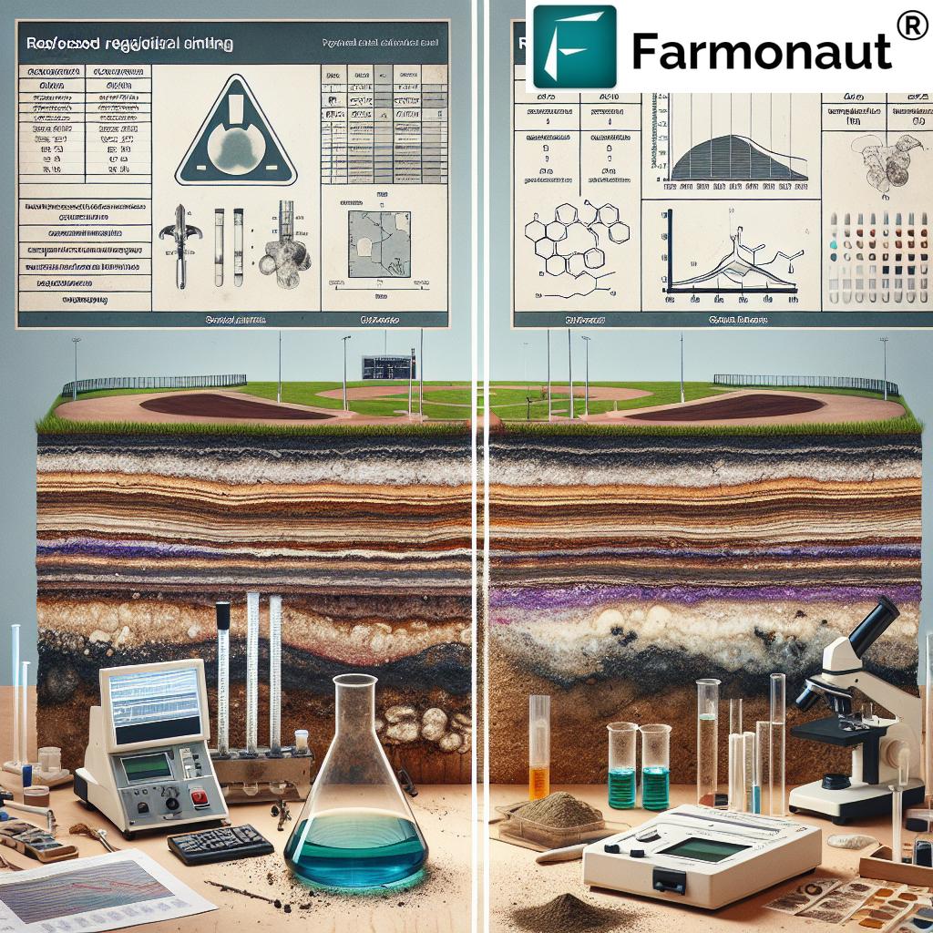
Soil and Water Monitoring Calculator
Use the calculator below to estimate how much lime your field may need to reach the 6.3–6.5 optimal pH band for soybeans, based on your current lab pH reading and soil type’s buffering capacity.
Estimated lime needed: –
Assumptions: targets the midpoint of the 6.3–6.5 optimal soybean pH range (6.4); uses a simplified tons-per-acre-per-0.1-pH-point buffering estimate by soil texture (sandy 1.2, loam 2.0, clay/high-OM 3.2, in tons of agricultural lime per acre per 0.1 pH point); excludes lime product quality (ECCE), application method, and depth of incorporation. Get a lab-calibrated buffer pH test before purchasing lime for an actual field.
Building a Monitoring Program: Technology Layers
Programs that combine soil type data with ongoing remote sensing tend to layer several technologies rather than relying on one:
- Remote Sensing: Satellite (Landsat, MODIS) and drone-based imaging providing the 30-meter-to-1km resolution range and 1–2 day to multi-week revisit cycles covered above.
- AI and Machine Learning: Pattern detection across large imagery archives to flag anomalies a human reviewer would take far longer to find manually.
- Ground Sensors: Soil moisture, pH, and nutrient probes providing calibration points that satellite-derived estimates are checked against.
- Historical Archives: Multi-year and multi-decade imagery for tracking land use change, which is often the only way to establish when a soil or water issue actually began.
- Mobile and API Access: Field-level tools and developer API access for teams that need to pull this data into their own reporting systems.


Comparison: Soil Testing Methods at a Glance
| Method | Spatial Detail | Update Frequency | Best Use |
|---|---|---|---|
| USDA Web Soil Survey (SSURGO) | Map unit level (varies by county survey) | Static reference, periodic county updates | Baseline soil type and expected characteristics |
| Landsat-8 imagery | 30 meters | ~16-day repeat cycle | Soil boundary detail, water body delineation, vegetation stress mapping |
| MODIS imagery | 250 m–1 km (coarser) | 1–2 days | Fast-changing conditions: flood extent, drought onset, regional trend tracking |
| Lab soil test | Point sample | On demand, recommended every 1–3 years for active fields | Actual current pH, nutrient levels for a specific field |
Why This Matters for Land Use Decisions
Whether the question is which soil type sits under a soybean field or whether a former industrial parcel is safe for public recreational use, the underlying discipline is the same: soil characteristics vary by location in ways that a single test result cannot fully capture, and remote sensing is the tool that fills the gap between isolated sample points. A 30-meter Landsat pixel or a 1–2 day MODIS revisit won't replace a lab test, but it tells you where to prioritize testing, and it tells you how conditions are trending between tests — which is the piece a one-time soil report can never provide.
For agriculture specifically, that trend data is what turns a soil type map from a static reference into an input for decisions made every season: liming schedules, drainage investment, and — at the adoption rates described above — the precision agriculture tools now used on a majority of large US crop farms.
Check out Farmonaut's API Developer Docs for integration possibilities
FAQ Section
Q: What is the ideal soil pH for soybeans?
A: USDA and Cornell CALS guidance puts the tolerable range at 6.0–7.5 on loamy soils, with the optimal band at 6.3–6.5 on mineral soils, per Ohio State Agronomy and USDA fertility research. Below 6.0, aluminum and manganese toxicity risk rises; above 7.5, micronutrient deficiencies become more likely.
Q: How do I find my soil type by zip code?
A: The USDA Web Soil Survey (SSURGO database) is the standard free tool — search by address or coordinates to get the mapped soil series for your location. Cross-check with a current lab test for actual pH and nutrient levels, since soil type maps describe expected characteristics, not this season's results.
Q: Can remote sensing map water areas as well as soil?
A: Yes — Landsat-class imagery at 30-meter resolution reliably delineates ponds, streams, and wetland boundaries, and MODIS's 1–2 day revisit tracks how those water areas change through a season. Finer detail than 30 meters requires higher-resolution aerial or drone imagery.
Q: How widely is remote sensing used in US agriculture?
A: USDA NASS data reported via USDA Economic Research Service shows 27% of US farms adopted some precision agriculture practice in 2023, rising to 68% among large-scale crop farms specifically for yield monitors, yield maps, and soil maps. A remote-sensing-only adoption figure isolated from this broader category is not separately published; check USDA NASS QuickStats for narrower breakdowns.
Q: What share of North Carolina's workforce works in agriculture?
A: Roughly 20% of North Carolina's workforce is tied to agriculture and agribusiness combined, according to USDA NASS and North Carolina Department of Agriculture data for 2025 — covering production, processing, and distribution, not farm labor alone.
Q: How often should I re-test soil pH?
A: Most agronomy guidance recommends a lab soil test every 1–3 years for actively managed fields, more often if you're actively adjusting pH with lime, or if remote sensing imagery flags a change in vegetation health that a soil issue could explain.
Farmonaut Subscriptions
Earn With Farmonaut
Earn 20% recurring commission with Farmonaut's affiliate program by sharing your promo code and helping farmers save 10%. Onboard 10 Elite farmers monthly to earn a minimum of $148,000 annually—start now and grow your income!
Learn More About Our Affiliate Program

 Jontra
 Yaduka Agrotech
 Kalustyan
 Tucor
Tucor Geno
Geno Hayleys Agriculture
 Linx Agritech
 Adinet
 Save Your Soils
 Grandstream Algérie
 XOS Realty
 Geospatial Lab Africa
 Agro La Gándara
 HIPSAC
 ZOL Zimbabwe
 Juligerm
 MISE Maroc
