Farmvibes.ai Satellite Data Workflow & Planet Labs: Empowering Precision Agriculture in 2025


Table of Contents
- Introduction: Satellite Data and Modern Agriculture
- Farmvibes.ai, Planet Labs, and the Satellite Data Revolution
- Farmvibes.ai Data Workflow Satellite Purchase: Step-by-Step
- The Power of Daily Satellite Imagery: Frequency, Resolution, and Coverage
- Processing Raw Satellite Data into Actionable Insights
- Seamless Dashboard Integration: Insights for Farmers
- Comparative Benefit Table: Traditional vs. Satellite-Powered Farming
- Integration with IoT, Sensors, and Weather Data
- Sustainability, Resource Management, and Environmental Impact
- The Future: 2025 and Beyond in Satellite Agriculture
- Farmonaut Platform Ecosystem: Expandable Solutions for Every Need
- Farmonaut Subscription Plans
- FAQs: Farmvibes.ai, Satellite Data, and Precision Farming
- Conclusion: The Pivotal Leap in Global Agriculture
Introduction: Satellite Data and Modern Agriculture
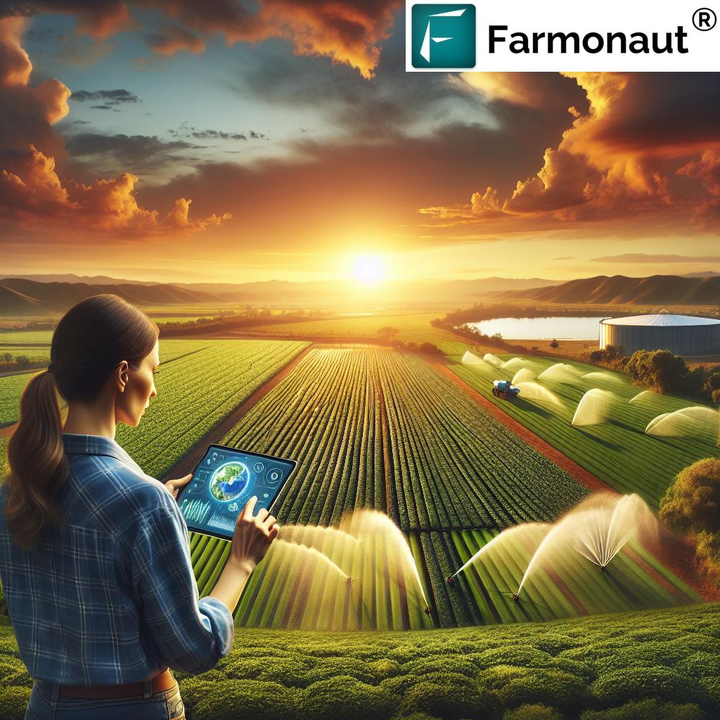
The world of agriculture is amidst a digital revolution, propelled by breakthroughs in advanced satellite data, cutting-edge platforms like farmvibes.ai, and daily high-resolution imagery that monitor every field across the globe. As we enter 2025, the integration of real-time satellite data and precision analytics is not merely a possibility—it’s an operational reality that transforms how farmers optimize yields, reduce waste, sustainably manage resources, and respond to crop health issues as they emerge.
At the core of this revolution are cloud-powered, AI-driven technology platforms that translate complex satellite signals into simple, actionable decisions. One such transformative platform is farmvibes.ai, which leverages a structured data workflow powered by constant satellite imagery—specifically, through strategic alignment with global Earth observation satellites providers like Planet Labs.
This article unveils how farmvibes.ai data workflow satellite purchase and daily images from Planet Labs have revolutionized farming by enabling more informed, timely, and sustainable decisions across the landscape of modern agriculture.
Farmvibes.ai, Planet Labs, and the Satellite Data Revolution
The landscape of satellite-based agriculture in 2025 is shaped by the confluence of advanced data platforms and global satellite leaders:
- Farmvibes.ai: An agritech platform that empowers farmers by integrating satellite imagery, machine learning, and customized workflows that address varied operational needs—from crop health monitoring to resource management.
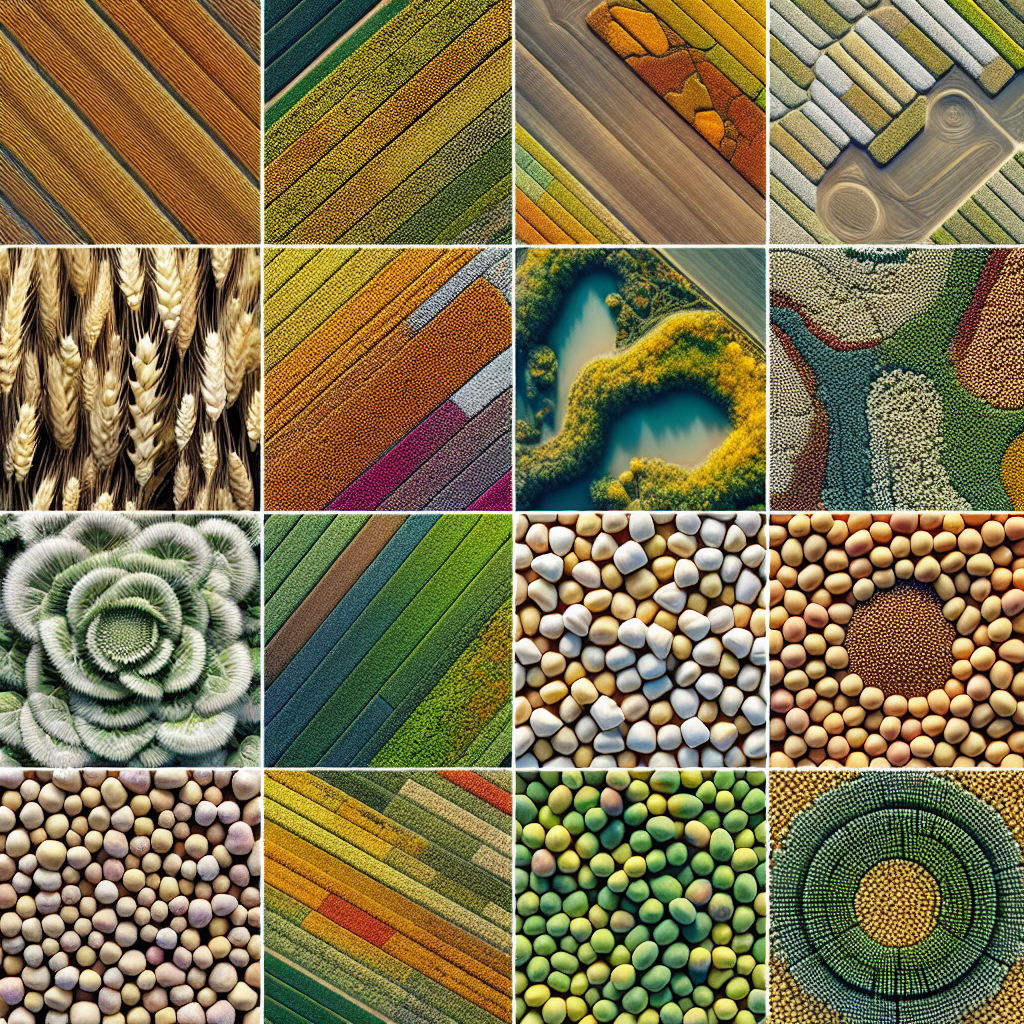
- Planet Labs: A pioneer operating a vast fleet of small, agile Earth observation satellites, capable of capturing daily multi-spectral images of every field worldwide. The ultra-high frequency and resolution unlock unprecedented agricultural intelligence, supporting both large and small farm operations globally.
By harnessing daily images and advanced analytics, farmvibes.ai enables farmers to monitor crop health continuously, detect stress signals early, and adopt data-driven decision-making in precision agriculture.
The Importance of Advanced Satellite Imagery Workflows in Agriculture
- Real-time decision support: Daily satellite passes ensure up-to-the-minute data on weather, moisture, and vegetation conditions.
- Actionable insights: Provides tailored metrics using NDVI, EVI, and other vegetation indices that are easy to understand.
- Sustainability: Supports responsible water and agrochemical use, aligning with environmental sustainability targets and resource management goals.
- Global reach: Monitor arable land worldwide, including smallholder and remote fields previously out of reach for traditional remote sensing methods.
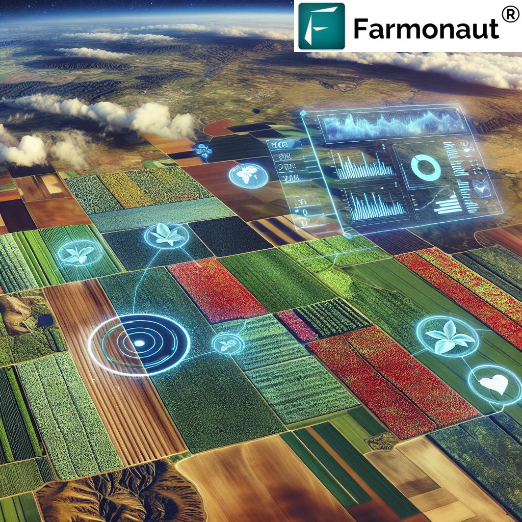
As a leading satellite technology provider, we at Farmonaut make satellite-driven insights affordable and accessible to farmers and enterprises through our robust web and mobile applications. Our platform features real-time monitoring, AI-based advisory systems, blockchain traceability, and comprehensive resource management tools to support agricultural productivity in a sustainable, data-driven manner.
Farmvibes.ai Data Workflow Satellite Purchase: Step-by-Step
Understanding the farmvibes.ai data workflow satellite purchase is critical to leveraging the full advantages of satellite technology. Here’s how the workflow unfolds:
-
Procurement of Satellite Imagery:
The process begins with the purchase of high-resolution, multi-spectral satellite imagery from global providers like Planet Labs. The platform selects the needed frequency (usually daily), spatial resolution, and spectral bands to support diverse agricultural needs, including vegetation indices, moisture, and chlorophyll concentration detection. -
Acquisition and Ingestion:
Imagery is delivered via the cloud, ensuring rapid integration into the farmvibes.ai platform. Large-scale, high-frequency data acquisition supports not only monitoring, but also historical analysis for season-over-season performance reviews. -
Data Processing:
Complex, raw satellite data is processed via bespoke machine learning algorithms, transforming gigabytes of raw images into actionable insights. This includes calculation of NDVI (Normalized Difference Vegetation Index), EVI (Enhanced Vegetation Index), moisture, and pest infestation patterns. -
Dashboard & Alert Delivery:
Once processed, the interpreted information is presented on an intuitive dashboard. Farmers receive field-specific alerts for irrigation needs, fertilization timing, input application, pest outbreaks, and growth stages. -
Continuous Monitoring and Support:
The system enables farmers to monitor crop health continuously and respond with precision at the earliest sign of crop stress.
This tightly rowed workflow ensures that farmers receive the right information at the right time, where satellite data is transformed from incomprehensible numbers into simple, tailored recommendations for every field.
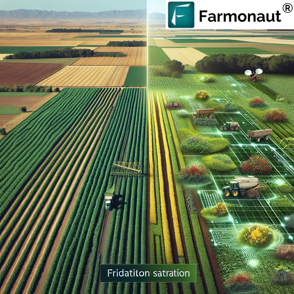
The Power of Daily Satellite Imagery: Frequency, Resolution, and Coverage
The importance of timely satellite imagery in modern farming cannot be overstated. Unlike traditional remote sensing with occasional image captures, daily satellite images from Planet Labs empower farmers to:
- Detect crop stress early: Continuous coverage ensures any fluctuations in vegetation health or moisture levels are spotted before visible symptoms appear.
- Respond instantly: Real-time decision support meets field operations at the precise moment of need.
- Improve input applications: Variable-rate application of water, fertilizer, or pesticides significantly reduces waste and environmental impact.
For example, traditional remote sensing might monitor a field once every two weeks, often missing critical temperature or moisture swings that impact crop yields and soil health. In contrast, farmvibes.ai ensures that farmers never miss out on important signals in their management cycles.
How Spatial Resolution Impacts Decision-Making
Planet Labs satellites offer 3-meter spatial resolution, translating to detailed images where subtle changes in crop health, weed pressure, or pest infestation patterns are visible down to the row level. This granularity arms farmers with data that can pinpoint regions of concern and plan efficient, site-specific interventions.
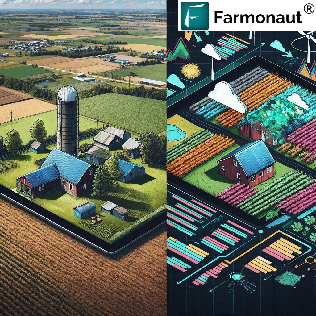
Processing Raw Satellite Data into Actionable Insights
Raw satellite data alone is not enough; it must be processed into usable metrics that make sense to farmers. Here’s how farmvibes.ai and similar platforms do it:
- Bespoke Algorithms: Proprietary machine learning and AI models analyze incoming data to detect anomalies, forecast growth stages, and flag undesirable trends (such as pest outbreaks or nutrient deficits).
-
Vegetation Indices:
- NDVI (Normalized Difference Vegetation Index): Indicates overall green biomass—reveals invisible crop health changes.
- EVI (Enhanced Vegetation Index): Provides more sensitivity in high biomass regions, improving forest and dense crop assessments.
- Moisture & Chlorophyll Estimation: Multi-spectral bands show relative moisture content, chlorophyll concentration, and stress signals in vegetation—key to making timely irrigation and input decisions.
- Pest Detection: Subtle reflectance changes signal emergent pest issues before they become devastating, enabling targeted protection measures.
Our Farmonaut API and developer documentation allow seamless integration of these satellite-driven insights into custom farm management systems, ERP software, or advisory apps, unlocking value at every level.
Seamless Dashboard Integration: Insights for Farmers
For true impact, satellite data must be integrated with practical, real-world workflows. Farmvibes.ai achieves this with a responsive dashboard that:
- Presents key metrics visually: Interactive maps show NDVI/EVI changes, moisture maps, and pest/disease index overlays for clear understanding.
- Sends timely alerts: Farmers receive alerts for optimal irrigation timing, fertilization, or pest outbreaks—enabling actions when they matter most.
- Supports variable-rate application: Field-level breakdowns allow precise dosage of inputs, drastically reducing costs and environmental impact.
Whether from a phone, tablet, or desktop, farmers can access actionable recommendations, support sustainability targets by avoiding overuse of water and agrochemicals, and ensure their farm is operating at peak efficiency.
For organizations managing multiple sites, our large-scale farm management tools facilitate multi-field monitoring and KPI tracking—ensuring operational oversight across entire regions or organizations.
Comparative Benefit Table: Traditional vs. Satellite-Powered Farming
| Farming Aspect | Traditional Method (Estimated Values) | With farmvibes.ai & Planet Labs (Estimated Values) | Benefit/Improvement |
|---|---|---|---|
| Crop Yield Optimization | Relies on visual inspection & periodic sampling; limited to visible symptoms. Yield gains: 0–2% |
Daily monitoring, early detection of stress, precise timing of interventions. Yield gains: 6–15% |
Up to 7x yield improvement through proactive, data-driven management |
| Water Usage Efficiency | Based on farmer experience and fixed schedules. Water savings: ~0–10% |
Automated irrigation needs alerts via soil moisture & weather data. Water savings: 15–35% |
2–3x better water conservation, reduced overuse risk |
| Pest/Disease Detection Time | Visual observation; often late-stage detection. 2–4 weeks |
Index-driven alerts, machine learning-based early warnings. 1–3 days |
90%+ faster detection, improved crop protection |
| Monitoring Frequency | Every 2–4 weeks due to cost/logistics | Daily, automated by satellite passes | 10–20x more frequent, comprehensive field visibility |
| Input Application Efficiency | Uniform, manual distribution; high wastage | Variable-rate based on satellite data. Input savings: up to 20% |
Lower costs, reduced environmental impact |
| Environmental Sustainability | Unmonitored, risk of overuse & runoff | Support for sustainability targets, blockchain traceability |
Data-backed compliance, traceable outputs |
Integration with IoT, Sensors, and Weather Data
Advanced agriculture workflows thrive on the synergy of multiple data layers. Farmvibes.ai and similar platforms blend satellite data with on-ground IoT sensors, including:
- Soil moisture probes—validate satellite-derived moisture estimates and fine-tune irrigation cycles.
- Weather stations—combine meteorological data with satellite imagery for tailored recommendations suited to microclimates.
- Environmental sensors—track soil temperature, humidity, and plant grow stages beyond what’s visible to remote sensing satellites.
This multi-layered system approach enables more accurate forecasts, mitigates risks, and automates decisions in irrigating, fertilizing, and harvesting fields, thus promoting resource management and higher yields.
Sustainability, Resource Management, and Environmental Impact
In 2025, sustainability is no longer an aspiration but a necessity in farming. Farmvibes.ai plays a critical role in helping farmers:
- Reduce agrochemical overuse: Targeted application means less fertilizer and pesticide use, preserving soil health and water quality.
- Conserve water resources: Moisture indices guide the precise use of irrigation, preventing waste in drought-prone regions.
- Combat climate change: Improved carbon management and tracking capabilities offer compliance with global climate change mandates.
- Traceability and Transparency: With blockchain, farm carbon footprint monitoring and traceability solutions enable farm-to-customer transparency, supporting eco-labeling & compliance.
Employing remote monitoring and real-time environmental impact tracking nurtures more resilient and future-proof farm operations.
The Future: 2025 and Beyond in Satellite Agriculture
With the pace of technology accelerating, farmvibes.ai and advanced satellite workflows are embarking on the next frontier:
- Multi-source data integration: Upcoming advances include incorporating Synthetic Aperture Radar (SAR) imagery for cloud-penetrating views, giving insight into soil moisture and surface structure even during cloudy weather.
- Smarter AI algorithms: New models will further optimize yields by predicting optimal sowing, application, and harvest windows—accounting for both historical and predictive weather patterns.
- Scalable, global infrastructure: Leveraging the cloud, the platform’s scalability will support growing datasets and increased precision for ever-expanding agricultural regions.
Farmonaut Platform Ecosystem: Expandable Solutions for Every Need
As a leading platform, we at Farmonaut have built a versatile ecosystem designed to support a range of farming, mining, infrastructure, and defense needs, while keeping affordability and accessibility at the forefront:
- Android, iOS, and Web Apps: Our applications (Farmonaut Crop Plantation & Forest Advisory) deliver satellite imagery and insights directly, making advanced technology available to every farmer and enterprise user worldwide.
- Fleet Management: Via our fleet management tools, users can track agricultural assets, optimize logistics, and reduce operational costs using real-time location and condition data.
- Blockchain-Based Traceability: Our traceability solutions ensure that agricultural, mining, and supply chain products are monitored for authenticity from source to consumer.
- Satellite-Based Verification: Our crop loan and insurance solution offers risk-averse, satellite-driven verification for eligibility, ensuring faster and more secure access to financing for agricultural producers.
For those who wish to directly integrate satellite and weather data feeds, our robust APIs and detailed API Documentation enable fast, reliable connectivity for custom software and third-party apps.
Our modular approach ensures users can scale from a small farm to national-scale operations, with cloud infrastructure that accommodates growing datasets and data-rich workflows.
Farmonaut Subscription Plans
With flexible, subscription-based pricing, we make satellite-driven crop monitoring accessible to individual farmers, businesses, and government agencies alike. Browse the available plans below and join the future of data-driven agriculture:
FAQs: Farmvibes.ai, Satellite Data, and Precision Farming
What is the farmvibes.ai data workflow satellite purchase?
The farmvibes.ai data workflow satellite purchase refers to the structured process by which the platform acquires, processes, and delivers high-resolution satellite imagery from global operators like Planet Labs. The raw data is converted into actionable insights via machine learning algorithms, enabling real-time, field-specific advisory to enhance precision agriculture decisions.
How does daily satellite imagery improve agricultural productivity?
Daily imagery allows for continuous monitoring, early detection of crop stress, and near real-time alerts for irrigation, fertilization, and pest outbreaks. This timely information eliminates guesswork and empowers farmers to maximize yields, reduce input waste, and respond to threats before crop loss occurs.
Can small farms benefit from satellite-enabled platforms like farmvibes.ai?
Absolutely. Thanks to the scalable nature of the cloud and flexible subscription models, technology is accessible and affordable for small-scale farmers and large enterprises alike, ensuring that advanced satellite data benefits every level of agriculture.
In which formats can Farmonaut services be accessed?
Our services can be accessed via Android, iOS, and browser/web apps, as well as through dedicated APIs for seamless integration into your existing systems.
How does Farmonaut contribute to sustainable farming?
We support sustainability by helping avoid the overuse of water and agrochemicals, monitoring carbon footprint, and providing traceability solutions for transparent supply chains—all enabled by advanced satellite monitoring technology.
How can financial institutions, businesses, or governments leverage Farmonaut?
Our platform provides real-time verification for crop loans and insurance, resource management for businesses, and policy planning support for governments, ensuring data-backed decision-making and operational transparency across sectors.
Conclusion: The Pivotal Leap in Global Agriculture
The integration of farmvibes.ai data workflow satellite purchase and near-daily imagery from Planet Labs is leading the transformation of agriculture as we move into 2025. These advanced systems democratize access to Earth observation data, empowering farmers worldwide with actionable, field-specific insights that optimize yields, drastically reduce waste, and support sustainable resource management.
By combining satellite technology, AI analytics, and an intuitive platform, we at Farmonaut are driving a new era of precision agriculture—one that delivers real value to farmers, enhances food security, combats climate change, and sustains our planet’s health for generations to come. Embrace the future: let’s grow smarter, together.