InSAR Technology: Revolutionizing Remote Ground Monitoring in Agriculture
How InSAR Technology is Revolutionizing Remote Ground Movement Monitoring is shaping the future of precision farming and sustainable land management. In this comprehensive guide, we explore how insar, or Interferometric Synthetic Aperture Radar, is transforming agricultural ground movement monitoring by enabling actionable insights, extensive spatial coverage, and continuous temporal data—ushering in a new era of soil, irrigation, and resource optimization for 2025 and beyond.
Introduction: The Evolving Landscape of Agricultural Monitoring
The face of agriculture is rapidly changing, driven by the need for precision, sustainability, and resilience against climate change and resource scarcity. As the demands on arable land and water increase, monitoring soil, ground, and infrastructure health across vast terrains has become critical for maximizing crop yields and maintaining agricultural productivity in 2025 and beyond.
Traditional methods—ranging from manual field surveys to sporadic sensor installations—have often fallen short on precision, coverage, and cost efficiency. Enter InSAR technology (Interferometric Synthetic Aperture Radar): a revolutionizing tool for remote ground movement monitoring. This cutting-edge technology empowers farmers, agronomists, and resource managers to detect, quantify, and respond to subtle land deformation, offering unparalleled insights for sustainable land and water management.
In this blog, we delve deep into How InSAR Technology is Revolutionizing Remote Ground Movement Monitoring in agriculture, exploring its fundamental principles, prominent applications, standout advantages, integration with state-of-the-art platforms like Farmonaut, and the challenges and future prospects shaping the global food supply chain.
Understanding InSAR Technology: A New Era for Remote Ground Movement Monitoring
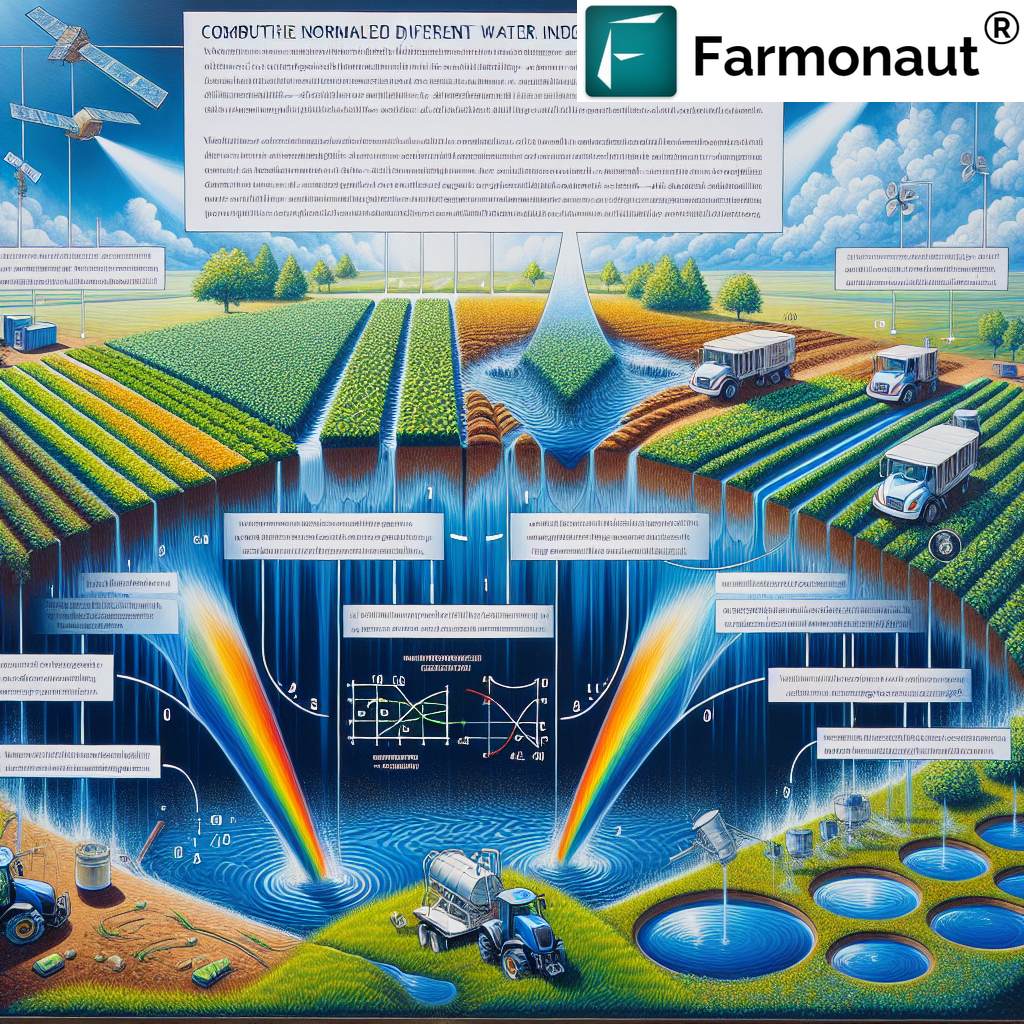
What sets InSAR apart is its capacity to measure ground displacement—including soil subsidence, compaction, and infrastructure deformation—down to a few millimeters, without physical ground installations. This satellite-based radar remote sensing technique harnesses phase differences between radar signals captured at different times to identify even the most subtle movements of the earth’s surface.
- Extensive Coverage: Modern radar satellites can scan entire agricultural regions, enabling continuous spatial monitoring.
- Continuous Data Streams: Frequent updates, sometimes at weekly intervals, deliver near-real-time information to support critical decision-making in agriculture.
- High Precision: By exploiting phase differences in synthetic aperture radar signals, InSAR achieves unparalleled measurement accuracy—often in the range of just 1-5 millimeters.
- Non-Intrusive: The technology works remotely, requiring no physical access to farmland, making it ideal for monitoring vast or inaccessible terrains.

How InSAR Works: Principles and Processes
Let’s break down the science behind InSAR (Interferometric Synthetic Aperture Radar):
-
Radar Signal Emission:
Satellites equipped with synthetic aperture radar (SAR) emit microwave radar waves toward the Earth’s surface. -
Signal Backscattering:
When these waves reach the ground, they are reflected (backscattered) and received back by the satellite on each pass. -
Image Capture Over Time:
The satellite captures images of the exact same area at different times (often weeks or months apart). -
Phase Difference Analysis:
By comparing the phase differences in radar signals between these images, the system detects tiny changes in position due to vertical ground movement (subsidence, uplift, or compaction). -
Mapping Ground Displacement:
The result is a high-resolution visual map of minute deformations, enabling farmers and resource managers to see shifts in land surface at millimeter scale.
This advanced technique—born from space-grade radar sensing—allows continuous, remote, and precise agricultural monitoring across large geographic regions.


Comparative Feature Table: InSAR vs. Traditional Monitoring Methods
| Monitoring Method | Data Accuracy | Coverage Area | Update Frequency | Cost Efficiency | Accessibility |
|---|---|---|---|---|---|
| InSAR (Interferometric SAR) | ±2 mm | Tens of thousands km² | Weekly | Low (< $1 per ha) | High (remote, app/API/web access) |
| Ground Survey | ±20 mm | Limited (100s m² – few km² per survey) | Monthly/Yearly | High (> $10 per ha) | Low (onsite, labor-intensive) |
| GPS Monitoring | ±10 mm | Point-based (sensor coverage only) | Variable (depends on sensor) | Medium (> $2 per ha) | Medium (requires sensor install) |
Key Applications of InSAR in Agriculture
The rich potential of InSAR stems from its diverse applications, from soil and water management to infrastructure safety and adapting to climate change. Let’s explore the most impactful uses in the agricultural sector, reinforcing How InSAR Technology is Revolutionizing Remote Ground Movement Monitoring.
Soil Subsidence and Compaction Monitoring
Soil subsidence—downward movement of the land surface—often stems from excessive irrigation, groundwater extraction, or poor soil management practices. Such subtle ground changes in agricultural fields can drastically affect crop yield potential and soil health.
InSAR technology enables early detection and precise quantification of:
- Vertical ground movements (subsidence or uplift)
- Soil compaction due to heavy machinery or overuse
- Localized problem areas needing targeted intervention
Early identification of such movements allows for corrective actions (adjusting irrigation schedules, implementing soil conservation, or changing tillage practices), minimizing damage and preserving soil structure for sustained yields.
Irrigation and Water Resource Management
Efficient irrigation and water management are more critical than ever, especially as climate change intensifies water scarcity across many farming regions.
-
Groundwater Depletion:
InSAR helps stakeholders monitor land deformation linked to changing groundwater levels, revealing hot-spots of overuse or recharge. -
Optimizing Irrigation Schedules:
By tracking ground movements in fields, precision adjustments can be made to avoid excessive extraction and uneven water distribution. -
Sustainable Resource Use:
This actionable information enables farmers to enhance water use efficiency, a crucial factor for maintaining productivity under evolving climate conditions.
Modern platforms like Farmonaut integrate InSAR data with multispectral imaging and AI-driven advisory systems, maximizing the benefit of precise, remote irrigation management for vast agricultural landscapes.
Developers & Precision Ag Ecosystems: You can integrate real-time InSAR and other satellite data into your agri-tech or resource management platforms via the Farmonaut API. Explore full documentation here: Developer Docs.
Monitoring Agricultural Infrastructure Health
Agricultural infrastructure such as irrigation channels, levees, dams, and terraces plays an integral role in land management. As these structures age, or as local ground deformation occurs, the risk of damage or failure increases.
-
Remote Continuous Surveillance:
InSAR enables ongoing remote monitoring to identify early warning signs of instability or movement that may threaten farm operations. -
Rapid Intervention:
Early detection allows for timely maintenance, minimizing potential economic or environmental losses. -
Cost-Effective Coverage:
No need for dense sensor networks; InSAR provides extensive coverage with fewer resources.
For large farm operators and agribusinesses seeking advanced solutions for farm fleet tracking and asset monitoring, the Farmonaut Fleet Management platform enables optimized logistics, safety, and asset utilization—directly integrating satellite-driven insights for superior infrastructure oversight.
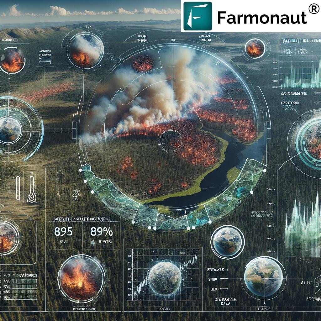
Climate Change Adaptation & Soil Health Assessment via InSAR
The challenges posed by climate change—shifting precipitation patterns, temperature variability, and extreme weather—impact soil moisture, erosion, and freeze-thaw cycles in agriculture. Understanding these subtle ground deformations is essential for sustainable management and adapting practices for future yields.
-
Soil Health Monitoring:
InSAR allows for continuous tracking of land surface movements indicating moisture loss, erosion, or organic matter depletion. -
Identifying Vulnerable Areas:
By mapping unstable or compacting soil zones, farmers can target restoration or conservation efforts, ensuring soil vitality under changing conditions. -
Proactive Adaptation:
The data supports adaptive management—such as crop rotation, mulching, or water harvesting—to build climate resilience.
Farmonaut’s suite includes powerful land and resource management tools (see: Large Scale Farm Management App) to coordinate thousands of fields, instantly visualize fragile or responding zones, and implement targeted sustainable interventions.
Advantages of InSAR Over Traditional Ground Monitoring
How InSAR Technology is Revolutionizing Remote Ground Movement Monitoring in agriculture becomes clear when we compare its capabilities to traditional methods.
-
Comprehensive Spatial Coverage:
Satellites with InSAR sweep vast agricultural areas with a single pass, drastically outpacing laborious field methods. -
High Temporal Resolution:
Multiple revisits per month ensure continuous insights, supporting quick responses to emergent changes. -
Low Cost per Hectare:
No equipment installation, maintenance, or field data loggers needed. Reduces operational costs for farmers and agribusinesses. -
Millimeter-Scale Precision:
Critical for early diagnosis—often catching deformations, subsidence, or infrastructure risks long before visual cues appear in the field. -
Seamless Integration with Management Systems:
Data is easily ported into farm management or resource optimization tools to drive actionable insight. -
Remote, Non-Destructive & Scalable:
Fields, forests, and infrastructure in regions previously inaccessible or too risky to visit are now within reach of remote monitoring.
For farmers, processors, and agribusinesses concerned with supply chain integrity, Farmonaut Traceability solutions leverage blockchain alongside satellite & InSAR-based monitoring, ensuring transparent, verifiable product journeys from field to market.
Sustainability Impact & Environmental Monitoring
With climate action a strategic priority, satellite-based carbon footprint tracking is paramount for sustainable farming in 2025. Platforms like Farmonaut allow farms, companies, and governments to monitor emissions, optimize resource use, and demonstrate compliance with sustainability standards. Explore more: Carbon Footprinting for Agriculture.
How Farmonaut Powers Agricultural InSAR Monitoring
We at Farmonaut harness the latest innovations in satellite, AI, and data infrastructure to make InSAR-driven agricultural monitoring affordable and accessible for organizations and individuals worldwide. Our platform is designed for scalability—from small farmers to government agencies managing thousands of hectares—delivering real-time, actionable insights via intuitive web, Android, and iOS apps as well as robust API endpoints.
-
Satellite-Based Monitoring & Soil Condition Analytics:
Multispectral & radar data combine with InSAR to create detailed visualizations of soil health, water content, and ground deformation. -
AI-Powered Advisory (Jeevn AI):
Custom strategies for crop, infrastructure, and resource management based on evolving ground and weather data. -
Blockchain-Driven Traceability:
For transparency in agri-supply chains, traceability tools powered by robust satellite verification increase compliance and reduce fraud risk. -
Environmental & Carbon Impact:
Carbon footprinting and other audit tools foster sustainable practices in global agriculture. -
Crop Loan & Insurance Support:
Satellite-based verification makes it easier for banks and insurers to offer credit and coverage to farmers—using remote, tamper-proof ground and crop monitoring data.
Challenges and The Future of InSAR in Agriculture
Like every evolving technology, InSAR is not without its challenges when applied to complex agricultural landscapes:
- Signal Decorrelation: Densely vegetated or recently plowed areas can reduce radar coherence, complicating the extraction of precise movement data.
- Complex Data Interpretation: Changes in land cover (crop cycles, flood events, urban expansion) demand sophisticated analysis algorithms for reliable post-processing.
- Cloud Fraction Impact: While radar penetrates clouds and is less sensitive to weather than optical sensors, wet canopies or heavy rainfall may still limit some detection capabilities.
The Future: Enhanced InSAR for Agriculture in 2025 and Beyond
- More Satellites & Higher Frequency: New constellations will increase revisit rates, offering near-real-time farm-level insights worldwide.
- AI-Assisted Processing: Artificial Intelligence will increasingly automate image interpretation—reducing false alarms and extracting richer ground movement patterns.
- Multimodal Integration: Fusing InSAR data with optical, multispectral, and environmental sensors for holistic pictures of land, soil health, and infrastructure health.
- Democratization of Access: Affordable, app-based InSAR monitoring opens up advanced precision farming to smallholders, governments, and independent advisors in every corner of the globe.
As more stakeholders embrace InSAR, the future points to widespread integration with farm management platforms (like Farmonaut), greater trust in satellite-based resource monitoring, and a leap forward for sustainable, climate-adaptive agriculture.
Frequently Asked Questions (FAQ) About InSAR Ground Monitoring in Agriculture
Q1: What kind of ground movements can InSAR detect in farmland?
InSAR reliably identifies subsidence, uplift, compaction, and lateral shifts—movements as small as 1-2 mm—that can indicate problems in soil, water table, or underlying infrastructure.
Q2: How often is InSAR data available for agricultural fields?
Most satellites provide revisit times of 6-12 days; with new launches, weekly or even more frequent updates are possible—enabling continuous and real-time monitoring in 2025.
Q3: Is InSAR data affected by weather or crop type?
Unlike optical systems, radar is generally not hindered by clouds or day/night. However, very dense vegetation or rapidly changing crops may reduce signal coherence and require adjustment via advanced processing.
Q4: How can I access InSAR ground monitoring data for my fields?
Through platforms like Farmonaut, users can access soil, water, and deformation insights via mobile/web dashboards or integrate with ERP and analytics tools through APIs.
Q5: Can InSAR data be used for irrigation, insurance, or regulatory compliance?
Yes! By evidencing accurate ground and crop changes, InSAR data supports smarter agricultural loans/insurance and can prove compliance with land conservation or water management policies.
Q6: What makes InSAR unique for large-scale land and resource management?
InSAR’s blend of continuous, high-precision, and remote scanning covers thousands of hectares at a time—vital for governments, cooperatives, or organizations managing diversified agricultural assets.
Conclusion: Embracing the Future of Remote Agricultural Monitoring
Interferometric Synthetic Aperture Radar (InSAR) stands at the forefront of technological transformation in modern agriculture. By revolutionizing remote ground movement monitoring, it enables us to detect subtle deformations, manage water and soil resources with unprecedented precision, and build sustainable, resilient farm systems for the future.
As we move into 2025 and beyond, the integration of InSAR with platforms like Farmonaut means advanced satellite insights are no longer reserved for global giants but are accessible to every stakeholder in the agricultural value chain—from smallholder farmers to enterprise fleet and resource managers, and even regulatory bodies driving broad-scale sustainability. By blending comprehensive satellite data, AI advisory, blockchain for traceability, and mobile accessibility, Farmonaut empowers multidimensional, data-driven management of land, crop, and infrastructure health.
The future of agriculture is rooted in precision, continuous monitoring, and sustainable land stewardship—and InSAR technology is at the very heart of this transformation.
Useful Resources:
- Farmonaut Carbon Footprinting for Agriculture: For compliance & environmental reporting
- Farmonaut Product Traceability: Blockchain-driven auditability for agri-supply chains
- Farmonaut Fleet Management: Large-scale, satellite-aided logistics and asset optimization
- Farmonaut Large Scale Farm Management App: Integrated dashboard for managing thousands of hectares with AI & satellite insights
- Farmonaut Crop Loan & Insurance: Satellite-powered verification for secure financing
Ready to transform your farming with the power of InSAR and remote satellite sensing? Start with Farmonaut’s web, Android, or iOS app today and explore the API for full integration.