

Precision Farming Technology: What US Data Actually Shows
Reviewed August 2026 against USDA ERS, USDA NASS and NASA/USGS Landsat sources.
Try it: Will satellite imagery actually work where you farm? →
Precision farming technology is a spatial data stack: free public satellite imagery and soil maps at the bottom, a GIS layer that turns pixels into field zones in the middle, and variable-rate application or a trading decision at the top. On US farms the base of that stack is already mainstream — USDA’s Economic Research Service found automated guidance running on well over 50 percent of acreage planted to corn, cotton, rice, sorghum, soybeans and winter wheat — while the analytic top of it is not. This page shows what the public numbers say, where the vintage of each number sits, and how to check any of them yourself.

The layer stack: what each input actually costs and how often it refreshes
Most confusion about precision farming technology comes from mixing layers with wildly different cadence and price. A soil survey polygon does not change; a vegetation index changes weekly. Here is the stack a US corn or soybean operation can assemble, with the figures verified in August 2026.
| Layer | Public source | Resolution | Refresh cadence | Cost |
|---|---|---|---|---|
| Optical imagery (EU) | Copernicus Sentinel-2 (ESA) | 10 m (blue, green, red, NIR); 20 m vegetation/moisture bands; 60 m atmospheric bands; 290 km swath | 5 days at the equator with the twin-satellite constellation | Free and open |
| Optical imagery (US) | Landsat 8 and Landsat 9 (NASA/USGS) | 30 m multispectral, 15 m panchromatic | 16-day repeat each; 8 days combined | No cost to users |
| Crop type map | USDA NASS Cropland Data Layer | 10 m from the 2024 season; 30 m for 2008–2023 | Annual; the 2025 layer was released 27 February 2026 | Free download |
| Soil polygons | USDA NRCS Web Soil Survey | County soil survey scale | Static between survey updates; online for more than 95 percent of US counties | Free |
| Supply and demand | USDA WAOB WASDE | National and world balance sheets | Monthly, 12:00 p.m. ET | Free |
| Planted area | USDA NASS Acreage | State and national | Late June, from a June survey of about 90,300 operators | Free |
Two things follow. First, the imagery itself is not the scarce good — Sentinel-2 and Landsat are given away, and NASA reports that free, publicly accessible Landsat data contributed an estimated $25.6 billion to the US economy in 2023. Second, what you pay for is the GIS work: co-registering those layers, masking clouds, cutting zones and producing a prescription. That is where precision agriculture technology earns or loses its keep.
Adoption: guidance is universal, analytics are not
The cleanest US adoption evidence is USDA ERS report Precision Agriculture in the Digital Era: Recent Adoption on U.S. Farms by Jonathan McFadden, Eric Njuki and Terry Griffin, published 22 February 2023 and built from four Agricultural Resource Management Survey (ARMS) rounds. Its two headline findings sit at opposite ends of the stack. Automated guidance runs on well over 50 percent of planted acreage across corn, cotton, rice, sorghum, soybeans and winter wheat. Yield maps, soil maps and variable-rate technologies reach only 5 to 25 percent of total US planted acreage for winter wheat, cotton, sorghum and rice, with corn and soybeans well ahead of that band.
Farm size, not crop, is the strongest single predictor. In the ARMS corn sample for 2016, 73 percent of farms in the largest size category had adopted guidance against 10 percent of the smallest. In the soybean sample for 2018 the figures were 68 percent and 11 percent. That 60-point gap is the real structure of the US market.
Older ARMS rounds give the trend line: on soybean farms in 2012, yield monitors led at 51 percent of farms and guidance systems at 34 percent, per a USDA ERS chart published 30 March 2017. Read against the 2018 figures, guidance roughly doubled on the largest operations in six years. Verify both against USDA ERS report 105893 and the accompanying ERS chart on guidance adoption by farm size; ARMS fields a new module every few years, so the next round will move these numbers.

Sizing the US precision farming market without hand-waving
There is no official US government estimate of precision farming market value, so every figure you will read is a private research house’s model. Treat them as branded estimates, not statistics. IMARC Group put the US precision farming software market at USD 470.31 million for its 2025 base year, forecasting USD 1,263.52 million by 2034 at an 11.61 percent CAGR — a software-only scope that excludes hardware, machinery and agronomy services, which is why it sits an order of magnitude below whole-market numbers quoted elsewhere.
Anchor those against figures that are official. USDA ERS, in its forecast updated 19 May 2026, put 2026 US net farm income at $153.4 billion, down $1.2 billion (0.7 percent) from 2025; total production expenses at $477.7 billion, up $4.6 billion (1.0 percent); and crop cash receipts at $240.8 billion, up $2.8 billion. A software market under half a billion dollars against $477.7 billion of production expense tells you the honest scale: precision farming technology is a rounding error in spend and a large lever on outcome. Check the current release at the ERS Farm Sector Income Forecast, which is revised roughly three times a year. Broader equipment-side context sits in our agtech machinery market analysis.
How to sanity-check any precision farming market number
- Find the scope word. Software, systems-and-services, or whole-market? The three differ by more than 10x.
- Find the base year. A CAGR quoted from a 2025 base is not comparable to one from a 2024 base.
- Divide by acres. USDA NASS put 2026 US corn at 95.3 million acres and soybeans at 85.4 million. A market claim implies a dollars-per-acre figure — if that lands above what a farm would plausibly pay, the estimate includes hardware.
- Ask who paid for the report. Vendor-commissioned sizing is not peer review.
Imagery cadence: how many clear looks a season actually gives you
Revisit intervals are advertised cloud-free; fields are not. Run your own constellation and cloud assumptions here.
Will satellite imagery actually work where you farm?
Cloud cover, not resolution, decides whether satellite monitoring is usable.
Ask any vendor for the cloud-free image count for YOUR district over the last 12 months. If they cannot produce it, they do not have the pipeline they claim. This tool models the arithmetic, not your local weather.
Assumptions: nominal revisit intervals from ESA (Sentinel-2, 5 days) and NASA (Landsat 8+9, 8 days); cloud occurrence treated as independent per pass; nitrogen priced as anhydrous ammonia at 82% N, so 1,640 lb N per ton. Excludes platform subscription, sampling, application-pass cost, agronomist time and any yield response — it prices the input saved, not the profit made.
Nitrogen is where variable rate pays or does not
The economics of variable-rate nitrogen move with fertiliser prices, and those have been volatile. University of Illinois farmdoc daily, in an analysis published 12 August 2025 by Nick Paulson, Gary Schnitkey, Henrique Monaco and Carl Zulauf, reported Illinois prices for the first week of August 2025 at $786 per ton for anhydrous ammonia (82% N), $594 per ton for urea (46% N) and $431 per ton for liquid nitrogen (28% N) — 6, 10 and 20 percent above the same week in 2024. Their stated September 2008–2020 averages were just under $650, around $440 and around $300 per ton respectively.
Those prices are republished on a rolling basis in the USDA AMS Illinois Production Cost Report, so do not take the August 2025 figures as today’s — pull the current quote and put it into the calculator above. For historical application rates by crop and state, USDA ERS maintains Fertilizer Use and Price, last refreshed 30 December 2025, though its price series ends in 2014 because that survey was discontinued and nutrient-use tables run only through 2018.
GIS in agriculture: the layer that decides whether any of it works
Geographic Information Systems turn imagery into decisions by aligning it with the things that do not move — soil polygons, drainage, historic yield, field boundaries. USDA NRCS publishes soil maps and data online for more than 95 percent of US counties through Web Soil Survey, and that layer is the single best free explanatory variable for why one part of a field responds differently from another. Practical uses are catalogued in our guide to seven ways GIS is used in farming.
Data quality in agricultural geospatial technology is measurable, and it is worth knowing that finer resolution does not automatically mean better classification. USDA NASS raised the Cropland Data Layer from 30 m to 10 m starting with the 2024 season and moved to a random forest classifier in Google Earth Engine. Published overall crop accuracy over those seasons: 81.6 percent for 2023, 77.5 percent for 2024 and 75.4 percent for 2025. NASS notes producer’s accuracy is generally 85 to 95 percent for the major crop-specific categories — the overall figure is dragged down by minor classes.
The lesson for anyone buying agricultural geospatial technology: ask for the accuracy assessment, not the pixel size. Confirm the figures at the NASS Cropland Data Layer FAQ, which posts a fresh assessment with each annual release in late February.

Agriculture trading: where satellite data meets the report calendar
Agricultural trading runs on a fixed public calendar, and satellite monitoring is valuable mainly for what it says between those releases. USDA’s World Agricultural Outlook Board publishes WASDE monthly at 12:00 p.m. ET; the 2026 dates were 12 January, 10 February, 10 March, 9 April, 12 May, 11 June, 10 July, 12 August, 11 September, 9 October, 10 November and 10 December. NASS released Acreage on 30 June 2026, based on a survey of roughly 90,300 operators in the first two weeks of June, estimating 95.3 million acres of corn (down 3 percent), 85.4 million acres of soybeans (up 5 percent) and 42.7 million acres of all wheat.
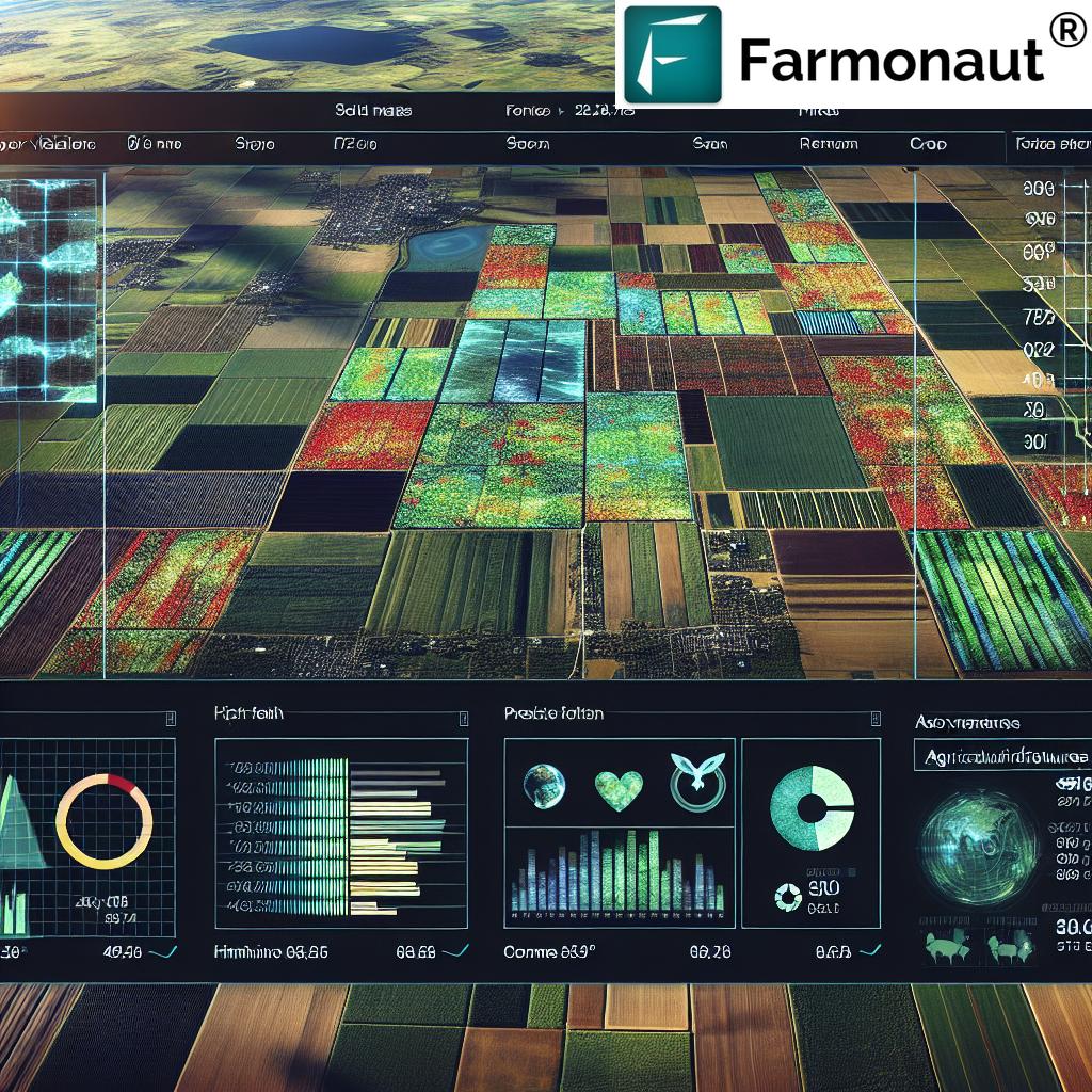
Between those dates, imagery fills the gap. A 3-day effective revisit across Sentinel-2 and Landsat gives a condition read on the US corn belt long before the next balance sheet lands, and satellite crop monitoring in the southern hemisphere — for example the Mato Grosso soybean cycle, which we cover in our piece on satellite crop monitoring in Brazil’s Mato Grosso — informs US basis and export expectations. For the price-action side, see our coverage of US wheat and corn futures amid planting shifts. Confirm the report calendar at the USDA WASDE page and the acreage estimate at the NASS Acreage news release.
Geospatial analytics for agribusiness: what to buy and what to build
For an agribusiness — a grain merchandiser, a co-op agronomy department, a lender, an input supplier — the build-versus-buy line falls in a predictable place. The imagery and the soil polygons are free, so building a raw ingest pipeline duplicates public infrastructure. What is worth paying for is the part that is expensive to operate: cloud masking that survives a wet June, boundary management across thousands of grower fields, and an API that returns a per-field index without you running a GIS server. Farmonaut exposes exactly that through its satellite and weather API, documented in the API developer docs.
The field-level agronomic case — zone-based nutrient management and soil health work — is set out in our article on precision farming techniques for yield and soil health, and the longer arc of mechanisation and digitisation in how technology has changed farming.
Precision farming analysis: a checklist that outlives the numbers
Every figure above will move. This method will not. Run it before you commit to any precision farming technology purchase or any geospatial data feed.
- State the decision first. Nitrogen rate, replant, harvest order, hedge timing. If no decision changes with the data, the data is a subscription, not a tool.
- Check the cadence against the decision window. A side-dress decision with a 10-day window needs the calculator above to return at least two clear looks inside it.
- Demand the accuracy assessment. Ask for overall and per-class accuracy, with the year. NASS publishes both for CDL; a vendor that will not is telling you something.
- Price the input, not the promise. Compute dollars per acre saved at your own fertiliser quote before you count any yield gain.
- Ground-truth on one strip. Leave a flat-rate check strip in every field carrying a prescription. Without it, a yield map cannot attribute anything.
- Re-date every number annually. ARMS, CDL, WASDE and the ERS income forecast each publish on a fixed cycle. Put those dates in a calendar and refresh your assumptions when they land.
Frequently asked questions
Is precision farming technology only for large farms?
The adoption data shows a size gradient, not a size barrier: 73 percent of the largest corn farms used guidance in ARMS 2016 against 10 percent of the smallest. The gap reflects capital cost on the machinery side. The satellite and GIS side has almost no fixed cost — Sentinel-2, Landsat, the Cropland Data Layer and Web Soil Survey are free, which is why the analytics layer is where smaller operations close ground fastest.
How much of the US crop can satellites actually monitor?
For 2026, USDA NASS estimated 95.3 million acres of corn, 85.4 million of soybeans and 42.7 million of all wheat — 223.4 million acres across those three crops. Both Sentinel-2 and Landsat cover all of it at no charge; coverage is not the constraint, cloud cover and analysis capacity are.
What resolution do I need?
Sentinel-2’s 10 m bands resolve management zones inside a quarter-section; Landsat’s 30 m does not, but its 8-day combined revisit and long archive make it better for multi-year trend work. Use both. Note that NASS’s own move from 30 m to 10 m coincided with overall CDL crop accuracy falling from 81.6 percent for 2023 to 75.4 percent for 2025 — finer pixels are not automatically better classification.
Does satellite data give a genuine edge in agriculture trading?
It gives timing, not omniscience. WASDE lands monthly at noon ET and Acreage once in late June; imagery is the only wide-area evidence available in between. Its edge is in flagging divergence from expectation early, on a specific geography, before the next official print.
Where do I get a fresher number than the ones on this page?
Adoption from USDA ERS ARMS releases; classification accuracy from the NASS CDL FAQ each February; acreage and condition from NASS; balance sheets from WASDE on the published monthly dates; farm income from the ERS forecast, revised about three times a year; fertiliser quotes from the USDA AMS production cost reports.
Where this leaves you
The base layers of precision farming technology in the United States are free, well documented and already under nearly every large operation’s machinery. The gap that remains — and the one this page is about — is between having the imagery and having an answer: a zone map, a rate, a hedge, a number you can defend to a lender. Start with the checklist, run your own figures through the calculator, and re-date everything on the public release calendar.
Try the platform on your own fields:




 Cresol
 Atur Kuliner
 GlobalQuant
 MDCV UK
 Zerella Group
 Etech Consulting Madagascar
 Vestlandsforsking
 Agritein
 Delicio
 WB Dev
 Sama Premium
 Prochecker
 Tres Valles
 LACOS Geoinformation
 Magrifly
 LatConnect 60
 Blickwinkel
 Agricultural Credit Policy Council
 Marei Nursery
 eKGIS
eKGIS Mostas Tech
