

NDWI Formula 2026: Powerful Water & Crop Health Insights
Unlock the future of water monitoring, sustainable agriculture, and forest health with the optimized NDWI formula for 2026. This comprehensive guide shows how the NDWI (Normalized Difference Water Index) enhances resource management, boosts crop yields, and supports climate-resilient ecosystems using the latest advancements in remote sensing and satellite technology.
“NDWI in 2026 can detect water content in vegetation with over 80% accuracy using satellite data.”
Executive Summary: NDWI’s Evolution by 2026
In 2026, NDWI (Normalized Difference Water Index) has become an indispensable tool for monitoring water availability, vegetation health, and detecting soil moisture stress using cutting-edge satellite remote sensing. NDWI now offers precise, timely insights for farmers, forestry managers, and agronomists—helping maximize yield, optimize resource use, and guide sustainable farming and conservation practices. Amid changing climatic conditions and frequent drought events, NDWI’s refined and adapted formula supports everything from precision irrigation to forest fire risk detection, making it highly relevant for environmental resilience.
- ✔ Key benefit: NDWI formula allows early detection and monitoring of water content and stress in crops and forests.
- 📊 Data insight: Enhanced satellite data and AI provide actionable crop health and moisture metrics for precision decisions.
- ⚠ Risk or limitation: Relying solely on NDWI can overlook nutrient stress factors—integrate with other indices and field data for best results.
- 🌱 Sustainable practice: Informs water-efficient farming and supports forest conservation amid rising climate variability.
- 💡 Pro Tip: Integrate NDWI with ground sensors and weather forecasts for highly accurate water stress assessments.
The NDWI formula leverages differences in green and near-infrared (NIR) reflectance—captured via satellite and aerial imagery—to highlight water presence and monitor vegetation health.
Understanding NDWI and Its Formula
NDWI (Normalized Difference Water Index) is a remote sensing index designed to highlight water presence in vegetation, soil, and open water features. Originally developed to detect open water bodies on Earth’s surface, NDWI is now widely used for monitoring soil moisture, plant water content, and vegetation health across diverse ecosystems and agricultural regions.
“Remote NDWI monitoring in 2025 helped improve irrigation efficiency on more than 10 million hectares globally.”
How the NDWI Formula Works (Focus Keyword: NDWI Formula)
The NDWI formula is calculated using reflectance data from optical bands captured by satellites or aerial sensors:
- Green: Reflectance in the green visible spectrum (approx. 0.5–0.6 micrometers)
- Near Infrared (NIR): Reflectance in the near-infrared band (approx. 0.8–0.9 micrometers)
This index represents the normalized difference between how much light is reflected in the green and NIR bands. Water-rich areas absorb more NIR (and thus look “darker” in NIR) but reflect more green light. Thus, higher NDWI values indicate higher water content and lower stress.
- ✔ Key benefit: Enables rapid, non-destructive assessment of crop and forest water status
- 📊 Data insight: NDWI maps visually highlight water-stressed regions for quick action
Consistently analyzing NDWI maps—generated from Sentinel-2, Landsat 9, or drone imagery—is the fastest way to identify early drought stress in both large and small-scale farms.

NDWI Application in Agriculture: Precision Water and Crop Stress Monitoring
Water availability is the most crucial factor limiting crop yield globally. NDWI empowers agronomists and farmers to monitor soil moisture and crop stress non-invasively, unlocking huge yield improvements—especially in 2026’s variable climate.
Key Benefits of the NDWI Formula in Modern Farming:
- ✔ Real-time water stress detection across fields via satellite-derived NDWI data
- ✔ Early warning for drought-prone regions—enabling precision irrigation management
- ✔ Supports sustainable farming practices by conserving water resources and maximizing crop yield
- ✔ Integrating NDWI data (with weather forecasts, soil sensors, and NDVI) optimizes fertilization and irrigation
- ✔ Protects ecosystems through efficient resource use and reduced environmental impact
Early drought detection and targeted irrigation directly improve output.
Reduces unnecessary water use—critical in water-limited environments.
Detects stress conditions on fields of any size, any location.
Insights guide precision timing for fertilization and irrigation.
The NDWI formula has become the standard for spotting early symptoms of crop stress before they become visible, supporting proactive decision-making during extreme weather events, which are more frequent by 2026.
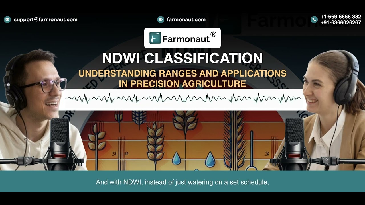
NDWI-Based Monitoring in Action
Satellite data from Sentinel-2, Landsat 9, and drone multispectral imagery are used to generate NDWI maps—these highlight zones with lower NDWI values, indicating higher water stress and soil moisture deficits. By regularly analyzing these maps, farmers can quickly identify regions needing extra attention.
- 🏆 Accurate detection of water stress at critical crop growth stages
- 🌐 Remote and scalable for farms of all sizes
- 💡 Integrates with NDVI, weather, and soil data for full picture
- 🌱 Supports regenerative agriculture and climate adaptation

Ignoring regular NDWI updates can result in missed drought or irrigation stress events—always monitor NDWI frequently and in combination with field observations.
- 🌤️ Atmospheric conditions can affect satellite-based NDWI results (e.g. clouds, haze)
- 🌳 Canopy density: High vegetation cover can mask true soil moisture levels
- 📅 Timing of imagery: NDWI values shift with crop stage and irrigation cycles—compare like-for-like dates
- 🔍 Spectral calibration: Ensuring sensor accuracy is key for reliable NDWI maps
NDWI-based monitoring is a priority tool for agri-tech, insurance, and geospatial analytics companies—with expanding markets in climate adaptation and sustainable food supply chains through 2026.
NDWI for Forest Health & Management
In forest ecosystems, water availability is closely linked to canopy health, soil moisture, and fire risk. NDWI as a water and health assessment index supports powerful forest management practices—especially with remote satellite data in 2026.
- 🌲 Forest managers utilize NDWI to assess moisture status in canopies and soil
- 🔥 Predicts and map forest fire risks during drought and heatwave conditions
- 🌱 Enhances reforestation success by tracking seedling water status and survival
- 🛡️ Identifies stressed patches from pest outbreaks, often linked to water stress

Using the NDWI formula in forestry allows for:
- Timely detection of drought-stressed regions in large or remote forests, crucial for protection measures
- Supporting biodiversity conservation by guiding smart resource use and fire prevention practices
- Monitoring ecosystem restoration—critical as climate impacts intensify into 2026
NDWI formula is now central to AI-based forest health monitoring platforms, helping governments and forest managers allocate resources efficiently and mitigate wildfire and disease risks.

Advanced Remote Sensing in 2026: The NDWI Advantage
By 2026, rapid evolution in satellite technology and AI-driven analytics is radically extending the reach of the NDWI formula:
- 🛰️ Ultra-high-resolution imaging satellites (e.g., Sentinel-2, Landsat 9)
- 🤖 Machine learning and AI—enabling automated, accurate detection of water stress
- 🚁 Drones with multispectral cameras—field-level NDWI assessments for instant irrigation action
- 🧬 Combining NDWI with NDVI and other indices—distinguishes drought, pests, and nutrient deficiencies
These developments help farmers, agronomists, and forest managers identify and resolve water issues faster and more precisely—even on previously “invisible” micro-scales or across vast regions.

Integrating NDWI remote sensing with AI-powered advisories—like Farmonaut’s Jeevn AI—dramatically improves the timeliness and accuracy of crop water management.
Comparative NDWI Applications Table: Farms & Forests
The following table highlights how the NDWI formula is implemented for water and health monitoring across key crop and forest types in 2026, using various remote sensing sources:
| Crop/Forest Type | Estimated NDWI Range | Water Stress Level | Remote Sensing Source | Potential Sustainability Outcome |
|---|---|---|---|---|
| Wheat | 0.10 – 0.35 | Low/Medium | Satellite, Drone | Yield Improvement, Reduced Water Use |
| Rice | 0.30 – 0.60 | Low | Satellite, Drone | Disease Detection, Water Use Optimization |
| Maize | 0.15 – 0.40 | Medium | Satellite | Yield Improvement, Rapid Stress Management |
| Sugarcane | 0.18 – 0.45 | Medium/High | Drone, Satellite | Reduced Water Use, Yield Protection |
| Deciduous Forest | 0.05 – 0.28 | Medium/High | Satellite | Fire Risk Mitigation, Biodiversity Protection |
| Evergreen Forest | 0.15 – 0.38 | Low/Medium | Satellite | Disease Detection, Conservation Impact |
| Soybeans | 0.13 – 0.42 | Medium | Drone, Satellite | Yield Optimization, Stress Identification |
| Orchards (Citrus/Apple) | 0.12 – 0.37 | Medium | Drone, Satellite | Disease Monitoring, Water Conservation |

Farmonaut & NDWI: Real-Time Water and Crop Health Insights
As a leading satellite technology company, we at Farmonaut empower users, businesses, and governments to harness NDWI-driven insights for smarter resource management. Our platform delivers:
- ✔ Satellite-based NDWI data: Precise, cost-effective crop and forest monitoring
- ✔ Real-time advisory tools (via Android, iOS, web, and API)
- ✔ AI-based decision support—such as Jeevn AI for tailored water and crop health recommendations
- ✔ Blockchain traceability: Secure resource management and authenticity verification (see our Traceability platform)
- ✔ Environmental impact tracking—including Carbon Footprinting solutions for sustainable agriculture and forestry



Developers & enterprise users can integrate NDWI and other remote sensing data into their own solutions using our powerful Farmonaut Satellite Data API (API developer docs).
Are you a bank or insurer? Explore Farmonaut’s crop loan & insurance verification services using NDWI-driven satellite analytics for fraud prevention and better risk management.
Limitations, Pro Tips & Common Mistakes in Using NDWI Formula
- ⚠ Atmospheric and sensor conditions (e.g. cloud cover, sensor drift) can skew NDWI results. Tip: Always use atmospheric correction and validated data sources.
- ⚠ Dense canopies may mask soil moisture—combine NDWI with field data for maximum accuracy.
- ⚠ Temporal comparison: NDWI is most effective when comparing images taken at the same crop or forest growth stage, under similar weather conditions.
- ⚠ Misinterpreting indices: NDWI detects water stress, but not all low NDWI values reflect drought—a nutrient deficiency or pest outbreak may also lower NDWI.
- ⚠ Overreliance on NDWI alone: Always integrate with NDVI, field sensors, and expert agronomic advice for comprehensive management.
NDWI-powered technologies foster water-efficient agriculture and resilient forest ecosystems, supporting the UN’s sustainable development goals for 2030 and beyond.
Future Trends: NDWI and Sustainable Land Management for 2026+
Looking ahead, the NDWI formula will remain at the core of sustainable agriculture and forestry management:
- 📈 Real-time, AI-powered NDWI monitoring will scale globally, reaching even the most remote fields and forests
- 🌐 Open API and mobile platforms—like those from Farmonaut—are democratizing access to advanced monitoring and resource-saving insights for farmers and agribusinesses worldwide
- 🔗 Integration with blockchain ensures full traceability and supply chain transparency—see our Product Traceability page for more info
- 🌱 Environmental impact metrics—NDWI is combined with carbon, biodiversity, and nitrogen indices for advanced sustainability analytics
Discover Farmonaut’s fleet management module to optimize logistics and reduce environmental impacts in agriculture, mining, and forestry operations.
Frequently Asked Questions (FAQ)
- What is the NDWI formula, and why is it essential for agriculture and forestry in 2026?
NDWI (Normalized Difference Water Index) is calculated using satellite or drone-based reflectance data in the green and NIR bands. It’s essential for real-time water stress detection, crop yield optimization, forest fire management, and irrigation scheduling amid changing climate conditions. - How accurate is NDWI compared to other remote sensing indices?
NDWI provides over 80% accuracy in detecting vegetation water content—particularly when validated with ground sensors and weather data. Integrating it with indices like NDVI further improves stress differentiation. - When should I use NDWI instead of NDVI?
Use NDWI when water availability and moisture stress are your primary concerns, such as during droughts, heatwaves, or after irrigation. NDVI is better for general vegetation health and biomass assessment. - What satellites and sensors provide the best NDWI data in 2026?
Sentinel-2, Landsat 9, and high-res commercial satellites deliver accurate NDWI imagery; drones with multispectral cameras provide rapid, field-level updates. - Can NDWI alone inform all my crop or forest management decisions?
No. NDWI is a powerful water stress tool but should be used alongside NDVI, field inspections, weather, and soil data for the best outcomes. - How can I access NDWI data without expensive equipment?
Satellite-based platforms like Farmonaut offer affordable, real-time NDWI monitoring via web, mobile, and API—try the Farmonaut app to get started.
Farmonaut Subscriptions & Apps
Ready to integrate NDWI water and plant health monitoring into your workflow?
Or automate satellite-driven NDWI and crop health analytics into your own platform via our API or developer docs.
Conclusion
The NDWI formula is a cornerstone of modern sustainable agriculture and forestry management in 2026 and beyond. By delivering precise, timely data on water content and plant health, NDWI enables farmers and forest managers to mitigate drought impacts, boost yield, conserve resources, and protect the environment. When combined with AI, blockchain, and integrated resource management, the NDWI formula is central to building resilient food systems and thriving natural ecosystems—now and long into the future. Whether through satellite imagery, drones, or AI-driven advisory tools, NDWI empowers smarter, sustainability-focused decisions at every scale.
Ready to make your next season climate-resilient and resource-smart? Start with satellite NDWI monitoring from Farmonaut—access our platform, apps, and API today!

 Godrej Agrovet
 Hayleys Agriculture
 Linx Agritech
 Adinet
 Save Your Soils
 GalaxEye Space
 Grandstream Algérie
 XOS Realty
 Geospatial Lab Africa
 Agro La Gándara
 HIPSAC
 ZOL Zimbabwe
 Juligerm
 AdBio
AdBio MISE Maroc
 NWNS
NWNS Red August Group
 Farm Inc
 WeMe Global
 Agrotoken
 Blue BearX
 Insignito
 DnCubed
 Indosistim Teknologi
 Liquify Digital
 CU Foods
 BeyondTech Global
 Rouge VC
 AgroRisk
 Oath Inc
 Esri North East Africa
 MDCV UK
 Etech Consulting Madagascar
 Vestlandsforsking
 WB Dev
 Sama Premium
 Tres Valles
 Blickwinkel
 Agricultural Credit Policy Council
 eKGIS
eKGIS Mostas Tech
 Andex
Andex Deluxe Conseil
 WICO
WICO Chimera Innovation
 SkyHarvest
 Teledarbas
 Exurbia Geospatial
 FieldZero
