

Drone surveys · Price guide
Drone Mapping Cost per Acre: Mine Survey Prices
One 2026 pricing guide puts basic drone mapping at US$5 to US$20 per acre. This page shows dated price tiers, what owning a drone costs, a Tanzania stockpile case, and a payback calculator.
Key takeaways
- Basic drone mapping is listed at US$5 to US$20 per acre, about US$12 to US$49 per hectare (TheDroneU guide, 30 May 2026); it is a typical range, not a market rate.
- A UK provider prices topographic surveys at GBP 799 to GBP 1,499 for 3 to 5 acres and GBP 3,499 to GBP 5,499 for 20 to 50 acres, excluding VAT (Skyscan Surveys, 2026).
- A Tanzania cement plant paid about US$5,000 per ground stockpile survey; its two drones paid for themselves in about four months against monthly surveys (GIM International, 2018).
- In a quarry test the drone volume was 2.6% off the known volume against 1.3% for the ground method, both inside a 3% limit (Frontiers in Built Environment, 2022).
- FAA Part 107 registration costs US$5 per drone for three years and the knowledge test about US$175 (FAA).
In this article
- Drone mapping cost per acre: what published price guides show
- What changes the price of a mine survey
- Drone survey cost for a mine site: three worked examples
- What a mine pays when it owns the drone
- Contractor or own drone: what the Tanzania case shows
- Is a drone accurate enough for stockpile volumes?
- Seven ways to lower a drone survey bill
- Licences, registration and rules that add cost
- Where satellite screening fits before drone flights
- How to get a comparable quote
- Frequently asked questions
General drone mapping is priced at about US$5 to US$20 per acre (roughly US$12 to US$49 per hectare) in one drone-service pricing guide dated 30 May 2026. That guide is written for drone pilots in general, not for mines, so read it as a starting rate for a mine-sized area. Terrain models, LiDAR and survey-grade control cost more, and small sites are priced as a flat project fee, not per acre. This page shows what published price guides say, what a mine pays when it buys its own drone, and a calculator that compares a contractor with an in-house flight programme.
A word on the numbers. Drone survey prices are not set by any regulator or index. The figures below come from service-company guides and a trade case study, each dated and linked, so treat them as budgeting ranges and get quotes before you commit. Where a price is a working example and not a market rate, we say so.
Drone mapping cost per acre: what published price guides show
Providers price a survey in one of three ways: per acre, per hour of flying, or as a flat project fee. The table lists the published figures we could open, with the date and basis of each. An acre is 0.4047 hectares, so multiply a per-acre price by 2.471 to get a per-hectare price.
Chart
Topographic drone survey price by site size
GBP, excluding VAT, one UK provider
| Item | Published figure | Basis and source |
|---|---|---|
| Basic drone mapping | US$5 to US$20 per acre | Typical range, illustrative (TheDroneU guide, 30 May 2026) |
| Hybrid fee example | US$500 base plus US$10 per acre after the first 20 acres | Worked example, not a market rate (TheDroneU, 30 May 2026) |
| Construction and surveying work | US$250 to US$600 per hour | Hourly range (TheDroneU, 30 May 2026) |
| Topographic survey, 3 to 5 acres | GBP 799 to GBP 1,499 | UK provider, excl. VAT (Skyscan Surveys, 2026) |
| Topographic survey, 20 to 50 acres | GBP 3,499 to GBP 5,499 | UK provider, excl. VAT (Skyscan Surveys, 2026) |
| Stockpile survey by a ground contractor | About US$5,000 per visit | One cement plant in Tanzania (GIM International, 2018) |
Two points come out of the table. First, the UK provider’s tiers show the economy of scale: a 3-acre site at GBP 799 works out to about GBP 266 per acre, while a 50-acre site at GBP 5,499 works out to about GBP 110 per acre (our arithmetic from the page’s tiers). The provider’s own page says the cost per acre falls as the site gets bigger. Second, the same page lists ground control points at GBP 399 to GBP 599 in one place and GBP 149 to GBP 249 in another, so always ask which figure a quote uses.
Ground control points (GCPs) are surveyed markers on the ground that tie the aerial photos to real coordinates. They are what turns a pretty picture into a map you can measure volumes on, so a quote that leaves them out is not comparable with one that includes them.
What changes the price of a mine survey
- Sensor. A camera flight that produces an orthomosaic (a stitched, scaled aerial image) and a surface model is the cheapest product. LiDAR (a laser scanner that measures distance to the ground and to objects) costs more because the sensor is expensive, but it can record ground under light vegetation.
- Accuracy. Survey-grade work needs RTK or PPK positioning (satellite corrections that fix the drone position to centimetres) and ground control. Looser accuracy is cheaper.
- Site size and shape. Larger sites cost less per acre. Steep pit walls, haul roads and tall piles need extra passes.
- Deliverables. A volume report, a CAD surface or a contour file is often priced as an extra line. Ask what format your mine planning software needs.
- Travel and access. Remote sites add travel, camp and standby costs that no per-acre rate includes.
- Frequency. A monthly programme can be cheaper per flight than a one-off, because mobilisation is shared (the UK provider says mobilisation is a large share of small jobs).
Most price differences between two quotes come from this list, not from the aircraft. Before you compare, write down the acreage, the sensor, the accuracy and the deliverable for each quote. If two of those four differ, the quotes are for different jobs, and the cheaper one is not necessarily the better value. It also helps to ask each provider for a sample deliverable from a similar site, so you can see the file formats, the resolution and the report layout before you pay.
Drone survey cost for a mine site: three worked examples
These examples apply the published rates above. They are arithmetic, not quotes.
A 50-acre quarry floor and stockpile area
At the guide’s basic range of US$5 to US$20 per acre, a 50-acre job is US$250 to US$1,000 before any minimum fee. The guide’s own illustration prices a 50-acre site at US$15 per acre as US$750 and at US$20 per acre as US$1,000 (TheDroneU, 30 May 2026). Add ground control if you need volumes you can defend.
A 100-acre open pit on the hybrid fee
Using the guide’s hybrid example (US$500 base, then US$10 per acre after the first 20 acres), a 100-acre pit comes to US$500 plus 80 acres at US$10, which is US$1,300. That is a basic map: no LiDAR, no survey-grade control and no volume report.
A 20-to-50-acre UK topographic survey
For a site of 20 to 50 acres (8 to 20 hectares), the UK provider lists a topographic survey at GBP 3,499 to GBP 5,499 excluding VAT (Skyscan Surveys, 2026). That is a full deliverable, which is why it sits well above the basic per-acre range.
The gap between the basic range and a full topographic deliverable is the main thing to understand. When one quote is US$750 and another is US$4,500 for the same acreage, the difference is usually control points, accuracy and the deliverable, not the aircraft.
What a mine pays when it owns the drone
Buying a drone moves the cost from a per-job fee to equipment, training and staff time. Published prices vary a lot by seller and bundle, so the chart shows dated reseller listings and a peer-reviewed estimate, not a single list price.
Chart
Equipment prices quoted by sellers and one study
US$, regular price (two listings, Oct 2026) or study figure (2022; the study says ‘as low as’ and ‘more than’)
The DJI Matrice 350 RTK, a common enterprise airframe, is rated by the maker for up to 55 minutes of flight with no payload, measured at about 8 metres per second in calm air (DJI Enterprise specifications). On 16 October 2026 a US reseller listed the airframe without batteries or charger at US$17,302 regular price, marked discontinued and sold out, with a sale price of US$11,129 (Blue Skies Drone Shop listing). A mapping camera such as the Zenmuse P1 was listed on 16 October 2026 by another US reseller at a regular price of US$7,499, shown as sold out (Dronefly listing). Batteries, a charging station, software licences, insurance and a rugged case come on top, and the listings above exclude the manufacturer’s care plan.
A cheaper path exists for stockpile work. A study at a Malawi quarry used a consumer DJI Phantom 3 and notes that a consumer-grade drone can cost as little as US$1,500, while a differential GPS unit for the traditional method costs more than US$10,000 (Matsimbe et al., Frontiers in Built Environment, 2022). Cheap aircraft do the job for piles, but they give up range, positioning and sensor choice.
Costs to put in your own budget
- Batteries and spare propellers, which wear with every flight.
- Processing software and a computer able to build large models.
- Pilot training, registration and site induction (see the rules section below).
- Insurance for the aircraft and for the liability of flying on an active site.
- Surveyor time to check the results against a known point.
- Storage for the images and models, which grow quickly with weekly flights.
Ask your own suppliers for prices on each of these lines, because they depend on the aircraft and the site.
Contractor or own drone: what the Tanzania case shows
A cement plant case study gives one of the few named, dated cost comparisons. LafargeHolcim Tanzania used ground surveyors for stockpile inventories. The plant manager said each visit took about two days and cost approximately US$5,000. The plant bought two senseFly eBee drones in early 2017, and the crew now finishes stockpile surveys in about a day. The plant manager said that, compared with paying for a terrestrial survey every month, the two drones paid for themselves in about four months (GIM International, 12 July 2018).
Chart
Yearly bill for ground stockpile surveys at US$5,000 a visit
US$ per year, by visit frequency
The chart turns the contractor’s price into a yearly bill. At US$5,000 per survey, one visit every three months costs US$20,000 a year and one visit every month costs US$60,000 (our arithmetic from the quoted price). The case is a single plant, and the article is a vendor-linked case study, so use it as a worked example of the method and not as a benchmark for your site.
The calculator below uses the same logic with your own numbers. Enter what a contractor charges, what a flight costs you in staff time and processing, and what the equipment costs.
Calculator
How fast does your own drone pay back?
Enter your own contractor price, flight programme and equipment cost.
- Contractor spend per year: $60,000
- In-house spend per year: $9,600
- Saving per year: $50,400
Example values only, not benchmarks. Contractor price, in-house cost per survey and equipment cost are inputs: use your own quotes. The pilot fees default of US$180 is the FAA registration (US$5) plus the knowledge test (about US$175). If the in-house cost is equal to or higher than the contractor price, there is no payback and the result shows a very large number of months.
Is a drone accurate enough for stockpile volumes?
For routine inventory, yes, with care. A peer-reviewed test at an open-pit quarry in Chiradzulu district, Malawi, compared a drone survey, a tape-and-GPS survey and the volume known to the mill. The pile was 265.4 cubic metres. The drone estimate was 258.7 cubic metres (2.6% error) and the traditional method gave 262.0 cubic metres (1.3% error). Both were inside the plus or minus 3% limit that the authors used (Matsimbe et al., 2022).
Chart
Total time to survey one stockpile
Total minutes (set-up, data capture, processing), Malawi quarry test
Total time also differed: set-up, data capture and processing took 35 minutes with the drone and 97 minutes with the tape method in the same study (data capture alone was 10 and 60 minutes). Note the limits. The test used a small pile and a consumer drone, and the ground method was the more accurate of the two. It shows that drones are accurate enough for stockpile work, not that they beat a total station.
A second test points the same way. Researchers at the Federal University of Technology, Minna (Nigeria) surveyed a gravel twin stockpile of 2,750 cubic metres by mill-machine volume with a DJI Mavic Air and with a Leica total station. The drone model gave 2,686 cubic metres and the total station gave 2,831 cubic metres, so both methods landed within about 3% of the known volume (Ajayi and Ajulo, Quaestiones Geographicae, 2021). Two small tests on two sites are not a standard, but they agree on the size of the error to expect from a well-flown camera survey.
Accuracy is also where the price goes. Tighter limits need ground control and RTK positioning, and a good provider will tell you what accuracy a quote delivers and how it was checked against known points.
Seven ways to lower a drone survey bill
- Scope the deliverable first. Decide whether you need a picture, a surface model or a signed volume. Pay only for what the decision needs.
- Bundle sites and dates. Mobilisation is a large share of a small job. Ask for a programme price for monthly or quarterly flights.
- Keep your own control points. If you set permanent markers, repeat surveys no longer need new ones each time.
- Use the right sensor. Use a camera for piles and pit shape, and pay for LiDAR only where vegetation or fine terrain detail matters.
- Plan the flight before you fly. Reflights for gaps, wind or poor overlap are the most common waste, and they are avoidable.
- Get itemised quotes. Ask for flights, control, processing, volumes, revisions and travel as separate lines, so you can compare like with like.
- Narrow the area with satellite data first. At the exploration stage, a wide-area satellite screen can show where flying is worth paying for (next section).
Licences, registration and rules that add cost
In the United States, a commercial drone pilot flies under the FAA’s Part 107 rules. The FAA states that Part 107 registration costs US$5 per drone and is valid for three years (FAA, How to Register Your Drone). The FAA also says knowledge testing centres charge approximately US$175 for the initial aeronautical knowledge test (FAA FAQ on remote pilot certificates). For one pilot and one drone that is about US$180 before study materials, which is small next to the aircraft.
Flights that do not fit Part 107 need an operational waiver, which the FAA describes as an official document approving certain operations outside a regulation (FAA, Part 107 Waivers). Waivers take time, so build the delay into a project plan. Rules in other countries differ, so check the civil aviation authority where you fly. A mine operator should also check its site procedures and its safety regulator’s rules for aircraft on site, since an aviation permit does not replace them.
Where satellite screening fits before drone flights
A drone is the right tool once you know where to fly. It is a poor tool for deciding where to look across a large licence, because flying thousands of hectares costs far more than a screen of satellite images. A common order of work is to screen the whole licence from space first, then send drones over the best targets. Farmonaut offers satellite mineral screening from a KML, KMZ or polygon of your area, reporting in 5 to 20 business days, and cites up to 80 to 85% lower early-exploration cost against traditional methods. See the satellite-based mineral detection page for the method and the minerals covered. Satellite results are exploration targets and sit ahead of any resource estimate.
For a close look at what drones add to an exploration programme, including magnetic surveys and LiDAR, read our guide to drone geophysics and mine survey drones. For a view of how satellite screening is used in a US gold search, see satellite gold exploration in the United States.
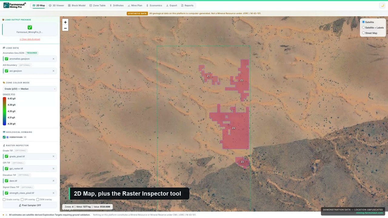
▶ Farmonaut Mining Pro course: satellite exploration from first map to a conceptual mine plan · 249:39
How to get a comparable quote
Send each provider the same brief. A one-page brief saves a week of back-and-forth, and it makes the prices comparable.
- Site boundary as a KML, KMZ or shapefile, with the acreage or hectares.
- Product needed: orthomosaic, surface model, contours, LiDAR point cloud or volume report.
- Required accuracy, and whether it must be checked against your survey control.
- Number and timing of flights, and whether it is one-off or a programme.
- File formats your mine planning software reads.
- Access, permits, safety induction and who provides ground control.
If you only need a first look at a licence area to decide where flying is worth the money, you can send us the area for a quote, or contact the team with questions about formats and timing.
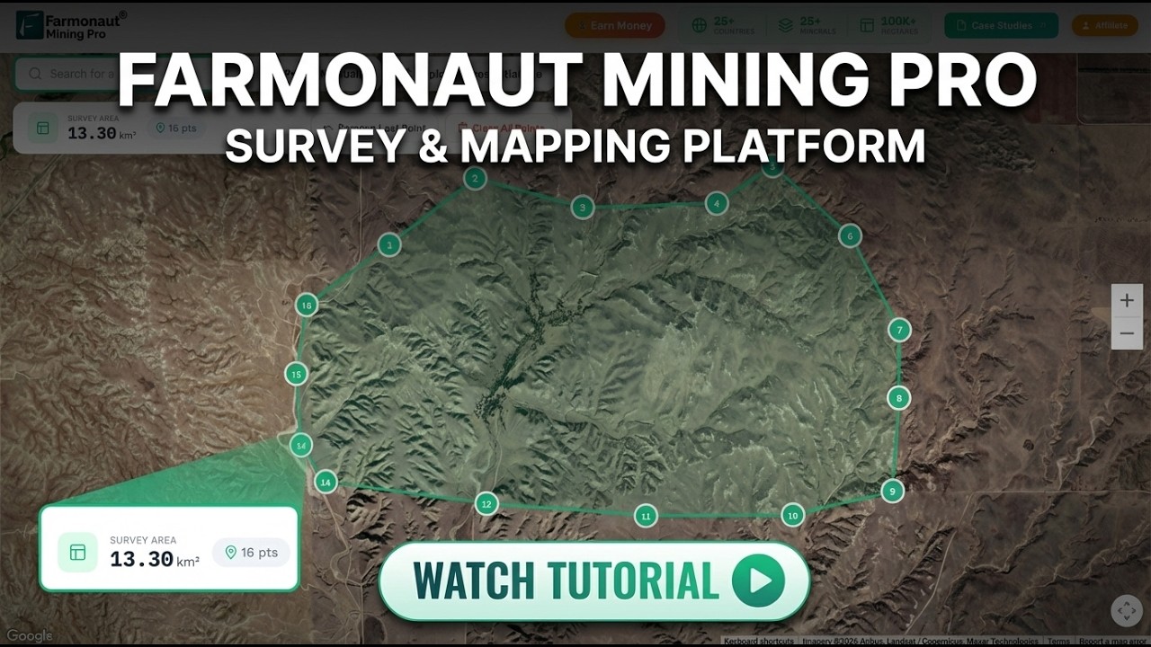
▶ How to map a mining concession in Farmonaut Mining Pro, step by step · 6:03
Frequently asked questions
How much does drone mapping cost per acre?
One 2026 pricing guide gives a typical range of US$5 to US$20 per acre for basic mapping, which is about US$12 to US$49 per hectare. Topographic surveys with ground control cost more, and small sites are usually a flat fee.
How much does a drone survey of a mine cost?
It depends on site size, sensor, accuracy and deliverables. A UK provider lists topographic surveys of development sites of 20 to 50 acres at GBP 3,499 to GBP 5,499 excluding VAT (not a mine-specific price). A 50-acre basic map at the per-acre range above would be US$250 to US$1,000.
Is a drone survey cheaper than a traditional survey?
In the Tanzania case study, a ground contractor cost about US$5,000 per stockpile visit and took about two days, while the plant’s own drones finished in about a day and paid for themselves in about four months against monthly contractor surveys. That is one plant, so compare quotes for your own site.
How accurate is a drone for stockpile volumes?
In a peer-reviewed quarry test, the drone volume was within 2.6% of the known volume and the tape-and-GPS method within 1.3%. Both were inside the plus or minus 3% limit the authors used.
How much does a mining drone cost to buy?
Prices range from about US$1,500 for a consumer drone to well over US$10,000 for an enterprise airframe plus a mapping camera. One US reseller lists a Matrice 350 RTK airframe at US$17,302 regular price and a Zenmuse P1 camera at US$7,499. Both listings were read on 16 October 2026 and showed as sold out, so treat the prices as a guide and ask a dealer for a current quote.
What do I need to fly a drone commercially in the United States?
A Part 107 remote pilot certificate and a registered aircraft. The FAA lists registration at US$5 per drone for three years and the knowledge test at approximately US$175.
What is a ground control point and do I need one?
It is a surveyed marker on the ground that ties the aerial images to real coordinates. You need them, or RTK positioning, when you want volumes or maps that match your mine grid.
Does LiDAR cost more than photogrammetry?
Yes, because the sensor is more expensive and the data takes longer to process. It earns its price where vegetation hides the ground or where you need fine terrain detail.
How often should a mine fly its stockpiles?
Often enough to support the decisions that depend on the numbers, such as monthly reconciliation. Cheaper flights make more frequent surveys possible, which the Tanzania plant did after it bought its own drones.
Can satellite data replace drone surveys?
No. Satellite data screens large areas for exploration targets, and drones give centimetre-scale detail over small areas. They work at different stages of a project.
This page is for information only. It is not investment advice. Prices are examples from published guides and seller listings; get written quotes. Check aviation and mine-safety rules with the regulator where you fly.
Farmonaut mining
Screen your licence from space before you fly
Send your site boundary and we will quote a satellite screen that narrows where drone work is worth the cost.

Mining Pro sample view, synthetic data
Keep reading
Sources
- TheDroneU, Drone Service Pricing Guide (30 May 2026): thedroneu.com
- Skyscan Surveys, Drone topographic survey cost (2026): skyscansurveys.co.uk
- GIM International, LafargeHolcim Tanzania stockpile case study (2018): gim-international.com
- Matsimbe et al., Frontiers in Built Environment (2022): frontiersin.org
- FAA, How to Register Your Drone: faa.gov
- FAA, cost of a remote pilot certificate: faa.gov
- FAA, Part 107 Waivers: faa.gov
- DJI Enterprise, Matrice 350 RTK specifications: enterprise.dji.com
- Blue Skies Drone Shop, Matrice 350 RTK listing: blueskiesdroneshop.com
- Dronefly, Zenmuse P1 listing: dronefly.com
- Ajayi and Ajulo, Quaestiones Geographicae 40(1) (2021): qg.web.amu.edu.pl
Discussion
Questions, corrections or field experience? Share them below. First-time comments are reviewed before they appear, and your email is never published.
No comments yet. Be the first to add a question or your experience.

 SenGold Invest SAS
 Sania Corporation
 Sean Mining Limited
 NTS Group (Pty) Ltd
 Mine4Africa
 Lithspo Minerals Limited
 Tintina Mining Group
 Dalgety Minerals Pty Ltd
 Vortex Minerals Pty Ltd
 Faith At Work (Pty) Ltd
 Geotech Mining Solutions plc
 Vulcan International Limited
 Kidepo Associates
 GKY Mining
 Alkimy SARL
 Double A Trading
 GemSprout Metals Limited
 Qader Group
 Ileys General Trading
 SG Gold Mining LLC
 VRV Global Pte Ltd
 Omsri International FZE
 G.I.T.T.
 Jaunita Erss Ltd










