

Satellite Gold Exploration South Africa: NTS Group
Most of our case studies come from the company that holds the ground. This one does not. NTS GROUP (PTY) LTD is a South African firm that engaged us on behalf of a client — and then came back seven months later to tell us what the targeting work was worth to that client, and that they would buy it again.
There is a particular kind of endorsement that is harder to earn than a happy customer, and we got one in September 2026. In February 2026 we delivered a satellite gold exploration analysis over a 53.2-hectare area of interest in South Africa. The company that commissioned it, NTS GROUP (PTY) LTD, was not the party that would drill it. They were acting for a client of their own. Seven months later they answered our standard post-report questionnaire, and their answers describe something more commercially interesting than one satisfied licence holder: a professional intermediary who put their own name on a targeting recommendation, watched it get drilled, and decided the method belongs in their permanent service stack.
That distinction matters more than it first appears. When a licence holder says a report saved them money, they are describing their own budget. When an advisory firm says it saved their client money and that they would recommend it again, they are describing something they will be judged on repeatedly — and staking professional reputation on a method rather than a single result.
Before the geology and the method, here is what NTS Group wrote. They authorised us to publish it verbatim under their company name, and we have reproduced it exactly as written.
“Farmonaut helped us identify locations to drill and find mineralisation which inturn saved our client $100 000 plus and 6 month of the project time. We would recommend their services to our clients at any given time.”
South Africa · Engaged Farmonaut on behalf of a client · 53.2-hectare gold screening
“We would recommend their services to our clients at any given time.”
Read that last sentence again with a commercial eye. It is not a review of a finished job — it is a standing commitment about future work, made by a firm whose business depends on the quality of the recommendations it gives other people. Across our entire client feedback set, it is the strongest single signal we have.
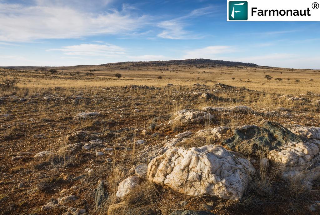
The area of interest boundary, its coordinates, the prospecting-right details, the zone geometry and every per-zone modelled figure in the NTS Group deliverable are commercially confidential and are not published. Neither is anything about NTS Group’s own client, who is not a party to this record and is not identified, described or characterised anywhere in this article. Everything below is either an NTS Group-authorised response, publicly available regional context, or a general description of how our deliverables are built. Photography is illustrative of southern African exploration conditions and does not depict the project.
Gold in South Africa: The Best-Known Goldfield on Earth, and Its Least-Funded Frontier
No country has a longer or more consequential relationship with gold than South Africa. The Witwatersrand Basin is an Archean sedimentary sequence roughly 300 km along its major axis and 150 km across, laid down starting about three billion years ago, and it has produced over 40,000 tonnes of gold — on the order of a fifth of all the gold ever brought to surface anywhere. SRK’s account of 140 years of mining the Witwatersrand Basin traces the arc from George Harrison’s 1886 discovery to the deep-level operations that now work several kilometres below surface, and notes that a very large quantity of gold remains underground, left behind because it is deep, low grade, or both.
That legacy creates a strange asymmetry for anyone exploring in South Africa today. The country is simultaneously one of the most gold-endowed places on the planet and one where new exploration capital has become genuinely scarce. The Minerals Council’s own overview of the gold sector is blunt about the mature end of the business: operations working at around 4,000 metres depth, rock temperatures near 50°C, employment declining since the 1980s, and a large share of the industry marginal at prevailing prices. Depth and cost, not absence of gold, are the binding constraints on the old fields.
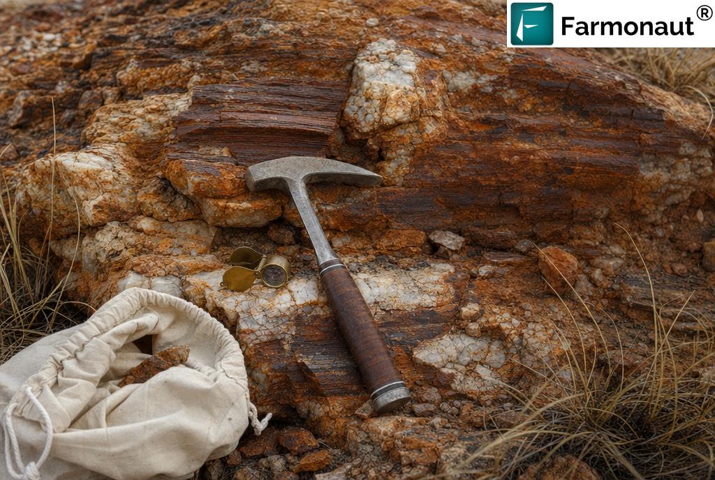
The consequence is that the interesting exploration ground in South Africa is increasingly not the deep Wits reef. It is the shallower, structurally controlled, Archaean greenstone-hosted systems: the Barberton Greenstone Belt on the eastern edge of the Kaapvaal Craton, whose rocks are among the oldest exposed on Earth at greater than 3.6 billion years and which has hosted orogenic gold mining for well over a century; and the Amalia–Kraaipan belts running north–south through the western craton, where gold sits in oxide-facies banded iron formation with hydrothermal alteration expressed as chloritisation, carbonatisation, haematitisation and pyritisation, cut by quartz–carbonate veins.
“South Africa’s constraint has never been the absence of gold. It is the cost of finding the next shallow piece of it.”
Why alteration mineralogy is the whole point
That last paragraph is not decoration. It is the technical reason satellite screening has anything to offer in this setting at all. Chloritisation, carbonatisation, haematitisation and clay alteration are exactly the mineral assemblages that have diagnostic absorption features in the visible, near-infrared and shortwave-infrared parts of the spectrum. A satellite cannot see gold. It can see the chemically altered rock that a gold-bearing hydrothermal system leaves behind — and that alteration halo is typically far larger than the ore that sits inside it.
Iron-oxide staining, argillic clay development and silicification all change how a rock surface reflects light, in ways that are measurable from orbit and reasonably separable from soil, shadow and vegetation once the imagery is properly corrected. In a terrain of exposed weathered basement with thin, seasonal grass cover, that separability is about as good as it gets outside of true desert.
Satellites map alteration mineralogy, iron-oxide and clay signatures, and structural architecture — the geological fingerprints that accompany gold systems, and which extend well beyond the ore itself. That larger footprint is the opportunity: it means a hydrothermal system announces itself across an area big enough to be seen from orbit, long before anyone puts a rig on it.
The exploration funding gap this sits inside
The wider African context explains why a service firm would go looking for a cheaper first pass in the first place. CSIS analysis on Africa’s mineral exploration gap records the continent’s share of global exploration spending falling from roughly 16% in 2004 to about 10.4% in 2024 — while Australia alone took 15.9% and Canada 19.8% in 2024, each more than the whole of Africa. The same analysis notes that sub-Saharan Africa returns a higher mineral value per dollar of exploration spend than Australia, Canada or Latin America. The ground is not less prospective. It is less funded.
When capital is that tight, the sequencing of spend becomes the entire strategy. Money spent on analysis before money spent on mobilisation is not a cost saving in the abstract — it is the difference between having a drilling budget and not having one.
If you hold or advise on a South African prospecting right, check whether a documented remote-sensing assessment can be entered into your work programme record. A professionally produced, dated, georeferenced technical assessment is a defensible piece of exploration evidence — useful to the regulator, to a funder, and to your own file — independent of whatever it tells you about where to drill.
The Client Behind the Client: What Changes When an Advisory Firm Is the Buyer
Almost every case study in this series describes the same commercial shape: a licence holder has ground, a budget and a problem, and buys an analysis to solve it. The NTS Group engagement has a different shape, and it is worth being precise about it, because the incentives are not the same.
NTS Group engaged us in respect of a 53.2-hectare area of interest, and their feedback describes the beneficiary as their client — the party whose money was saved and whose project timeline was shortened. Their closing sentence is not about a past project at all: it is a statement about future work, that they would recommend our services to their clients at any given time. That is a forward-looking commercial position, and it is the single strongest signal anywhere in our feedback dataset.
“A licence holder recommends a result. An advisory firm recommends a method — because they have to live with it on the next job too.”
Why the intermediary’s endorsement carries more weight
Consider what each party is actually risking when they vouch for an exploration input.
- ✔ A licence holder assesses one outcome on one property. If a targeting product works once, that is one data point in their own favour, and the downside of being wrong is contained within their own project.
- ✔ An advisory or services firm is putting a method into a recommendation that carries their name to a third party. If it underperforms, the client does not blame the satellite — they blame the adviser who recommended it. The reputational exposure is external, repeated and cumulative.
- 📊 Repeat-use buyers price differently. An intermediary is not evaluating whether one report was worth its fee. They are evaluating whether the method reliably improves the recommendations they make, across a portfolio of client engagements with different ground and different budgets.
- ⚠ Which raises the bar. A professional buyer will drop a tool the moment it produces one embarrassing recommendation. That NTS Group instead chose to state they would recommend it again is a harder thing to earn than a single satisfied outcome.
The de-risking problem an adviser actually faces
Put yourself in the position of a firm advising a client on a small gold property. The client wants to know one thing: where do we put the rig, and why there? The adviser has three unattractive options if they have no systematic dataset.
- Recommend a full conventional reconnaissance programme first. Technically correct, commercially difficult. On a small property the cost of systematic soil geochemistry, trenching and a geophysical survey can be a serious fraction of the entire project budget, and the client may simply decline — leaving the adviser advising nothing.
- Recommend drilling on geological judgement alone. Fast and cheap to produce, but it puts the adviser’s professional opinion in front of the drill bit with no independent, reproducible evidence behind it. If the holes are barren, the recommendation is indefensible after the fact.
- Buy a systematic, independent, whole-property screen first. Cheap relative to both alternatives, fast, and it produces a written, dated, georeferenced technical rationale that exists outside the adviser’s own head.
That third option is the one NTS Group took, and the value of it to an adviser is not only geological. It is evidentiary. A ranked prospectivity surface with documented inputs is something you can hand to a client, a partner or a funder and say: this is why we chose this ground, and here is the analysis it came from. The recommendation stops being an opinion and becomes an opinion with a paper trail.
When you are shown an early-stage target, ask who generated the targeting rationale and whether it is reproducible. A ranked, whole-property, independently produced screen is a materially different piece of evidence from “our geologist liked the look of this structure” — not because judgement is worthless, but because a documented method can be audited, re-run and challenged. Ask specifically: has any of it been drilled, and has anything come back from a laboratory yet?
The Challenge: 53.2 Hectares Is Small Ground, Which Makes It Harder, Not Easier
Fifty-three point two hectares is 0.532 square kilometres. Against the multi-thousand-hectare concessions common elsewhere in Africa, it is a small parcel — and the instinctive reaction is that small ground must be an easy targeting problem. In practice the opposite is closer to the truth, and the reasons are worth spelling out because they shape what a screening product has to do differently at this scale.
Why small parcels are a distinct problem
First, the economics invert. On a 2,000-hectare licence, the argument for satellite screening is coverage: you cannot walk it all, so you rank it. On a 53-hectare parcel you could walk it all — but the fixed costs of doing so properly do not scale down with area. Mobilising a crew, establishing a sampling grid, cutting access, shipping samples and waiting on laboratory turnaround costs a substantial amount whether the target is 53 hectares or 530. Spread across a small property, that fixed cost per hectare becomes brutal, and it consumes a budget that would otherwise buy metres of drilling.
Second, the tolerance for error shrinks. On large ground, a first pass that identifies the right general corridor is a success; there is room to refine. On 53 hectares there may be room for only a handful of holes, and the difference between the right end of the parcel and the wrong end is the difference between a result and a write-off. Precision matters more, not less.
Third, small parcels are frequently not arbitrary. Ground of this size is often held because something is already known or suspected about it — historic workings nearby, a mapped structure, a surface indication. The question is rarely “is there anything here?” It is the far more specific “which part of this, and on what evidence?”
What NTS Group needed the analysis to do
Stated plainly, the requirement was to convert 53.2 hectares of undifferentiated ground into a ranked, defensible shortlist — fast enough and cheap enough that the client’s budget survived intact for the drilling that would follow, and documented well enough that NTS Group could present the reasoning to their client as a technical rationale rather than a hunch.
Do not screen only the licence outline. Where you have the rights or the data access to do so, ask for a buffer of context around the parcel. Mineralising structures do not stop at a cadastral boundary, and understanding how the alteration and structural fabric inside your ground connects to what is immediately outside it often tells you more about which end of a small property matters than the parcel alone ever could.
How Satellite Gold Exploration Actually Works
Farmonaut has been applying Earth observation and AI to mineral exploration since 2018. The platform has now screened more than 100,000 hectares across 25+ countries for over 20 mineral types. The method is consistent across commodities, and it rests on one physical fact: minerals and alteration assemblages absorb and reflect electromagnetic energy in characteristic, measurable ways.
The workflow runs in four stages.
- Define and acquire. The client supplies the area of interest — coordinates, a KML/KMZ or a drawn polygon — plus the target commodity. We select the appropriate sensor stack, multispectral or hyperspectral depending on area and mineralogical complexity, and assemble a multi-date archive rather than relying on any single scene.
- Correct and decompose. Raw radiance is atmospherically corrected, then spectrally decomposed so the mineralogical component of the signal is isolated from soil, shadow, moisture and vegetation contributions.
- Map the indicators. We map alteration mineralogy, iron-oxide and clay indices, structural features such as faults, shears and fracture corridors, lithological boundaries and terrain derivatives — the geological architecture that controls where gold sits in the first place.
- Rank and deliver. The indicator layers are combined into a prospectivity surface using a weighted composite of multiple normalised sub-scores. Discrete anomaly zones are delineated and ranked, and the package is delivered as a PDF report plus georeferenced GIS files, typically within 5–20 business days.
Reading a prospectivity surface without over-reading it
The central output is a per-pixel prospectivity index across the whole area of interest. Warmer values indicate a stronger coincidence of the indicators associated with the target deposit style. It is a relative ranking of favourability, not an assay from orbit and not a probability of finding gold. Its job is to order your ground so that field time and drilling metres are spent in the right sequence.
Two habits separate people who use these surfaces well from people who get burned by them. The first is treating the ranking as ordinal rather than absolute — the top zone is the best place to start on this property, which is not the same claim as “this zone is economic.” The second is insisting on temporal persistence. A genuine alteration footprint is a property of the rock and should reappear across imagery from different seasons and different years. An anomaly that shows up in one scene and vanishes in the next is usually moisture, shadow, burn scar or transient surface cover.
Ask any provider how many acquisition dates went into the surface you are being shown, and across how many seasons. Multi-date validation is the cheapest quality filter that exists in this discipline and the one most often skipped, because it costs analysis effort and adds nothing to how impressive the heatmap looks.
From a continuous surface to discrete, drillable targets
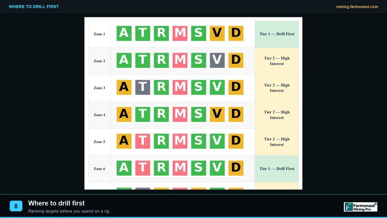
A heatmap on its own is not actionable. The next step converts the continuous surface into discrete zones with defined footprints, then models indicative characteristics per zone — grade and contained-metal ranges, geometry, confidence — so that targets can be compared against one another on a single consistent basis. That comparability is what makes the output usable as a decision instrument rather than a picture: a client can be shown why zone one is ahead of zone three, in terms that survive being questioned.
Reading the deliverable for what it is built to do
A prospectivity report is a ranking instrument, and it is at its most powerful when it is used as one. Depth and grade in the report are modelled ranges inferred from surface expression and geological context rather than direct measurement, and confidence is stated openly where transported cover thins the signal — which is precisely what allows an adviser to present it to a client with confidence, because nothing in it can be contradicted later by a laboratory. What it tells you, and tells you well, is the relative ranking of your ground, consistently, across the entire property, in days rather than field seasons, with the reasoning written down and reproducible.
Satellite-derived tonnage and grade are exploration targets — ranged estimates derived from surface spectral response and geological modelling. They are not Mineral Resources or Reserves under SAMREC, JORC, NI 43-101 or any equivalent code, and they are not a substitute for drilling and assay. Presented as what they are — a ranked, evidence-based case for where to drill first — they are a strong and durable piece of technical work that stands up to review. Presented as a resource, they are neither.
What the Analysis Delivered, and What NTS Group Reported Back
We delivered the report in February 2026 covering the full 53.2-hectare area of interest. The zone geometry, modelled figures and boundary data belong to NTS Group and their client and are not published. What we can report is what NTS Group themselves told us seven months later, in their own answers to our standard post-report questionnaire.
The first question is the one that determines whether the engagement had any point at all: did the analysis narrow down where to explore or drill? NTS Group answered yes. The 53.2 hectares stopped being a single undifferentiated parcel and became a ranked shortlist their client could act on.
What a ranked shortlist is actually worth to the firm that recommends it
Strip the engagement back to its commercial mechanics and the return is straightforward. A screening analysis is a fixed, known, modest cost, incurred once, before anything expensive happens. Drilling is an open-ended cost measured in metres. Every metre that goes into the right ground because the targeting was systematic is a metre that does not have to be repeated, and every metre not spent testing the wrong end of a property is budget that survives to fund follow-up. On a parcel this size, that arithmetic is not marginal — it is the difference between one drilling campaign and two.
For an advisory firm there is a second return that does not appear on any invoice. The report is a durable artefact: dated, georeferenced, reproducible, and independent of the person who wrote the recommendation. It can be handed to the client, attached to a proposal, put in front of a funder, or produced two years later when someone asks why that hole went where it did. Professional advice that comes with its own evidence file is simply worth more than advice that does not, and it is far more comfortable to give.
And it compounds. An adviser who screens every property before recommending anything builds, over a portfolio of engagements, a consistent methodology they can describe to prospective clients as part of how they work — not a one-off experiment, but a standard step. That is the position NTS Group’s closing sentence describes.
The cheapest exploration dollar is the one spent narrowing the search before mobilisation, because it multiplies the effectiveness of every dollar spent afterwards. When you assess an early-stage programme, look at the order in which money was committed: analysis first and drilling second is the sequence that preserves optionality. Drilling first and analysis afterwards is how budgets disappear without producing a decision.
From Target to Ground Truth: The Targets Were Drilled, and Mineralisation Was Found
A prospectivity surface is a prediction until someone tests it. On this project, someone did. NTS Group reported that the recommended targets were drilled and that mineralisation was found at them — a client field observation, with laboratory assay still outstanding at the time of their feedback, so no grade is claimed here.
That milestone is worth understanding for what it changes commercially. Before drilling, the property was a ranked interpretation. After it, the top-ranked ground has been physically intersected and the geological model behind the recommendation has held up at the only place it could be checked. For the adviser who made the call, that is the outcome that converts a methodology into a track record.
It also changes the character of the asset for everyone downstream. A property where the best ground has been identified, drilled and found to carry mineralisation is a fundamentally different proposition to present to a partner, a funder or an acquirer than a property with a heatmap and no holes — even before assays land. The next increment of spend is no longer speculative reconnaissance; it is follow-up on a specific, tested intersection, which is the cheapest and most persuasive kind of exploration expenditure there is.
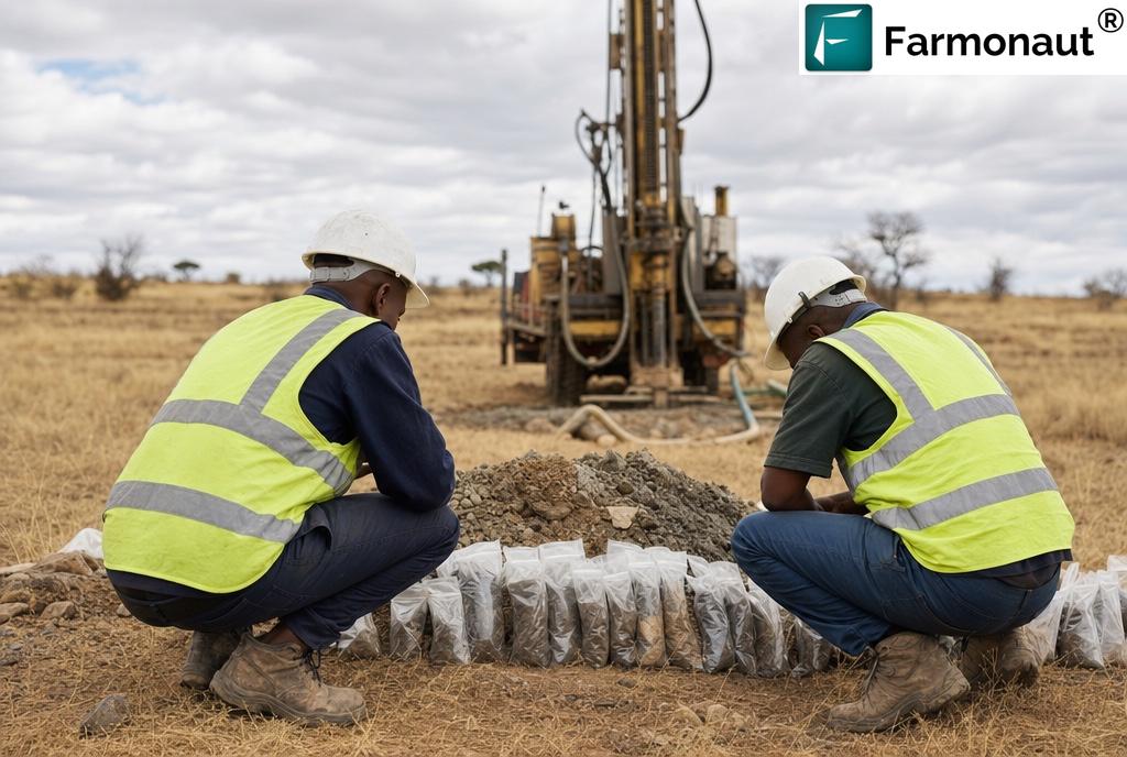
The honest sequence in exploration is: screen → target → drill → assay → resource. Each arrow is a genuine increase in knowledge and each one costs more than the last. Satellite screening earns its place by making the first arrow cheap and the second arrow evidence-based — which is precisely why it belongs in front of the expensive arrows, not instead of them.
The Measured Impact: Time, Cost, and the Adviser’s Position
NTS Group selected 1–3 months of exploration time saved and USD 50,000–100,000 of exploration cost avoided. Both are the client’s own selections from banded options in a structured questionnaire. We have not adjusted them, averaged them, converted them into point estimates or extrapolated from them, and no figure elsewhere in this article does either.
“One to three months and USD 50,000–100,000 — client-reported bands, on a 53.2-hectare parcel.”
Set against a parcel of this size, that cost band is worth pausing on. On a large concession, a saving in this range is a proportion of a large programme. On 53.2 hectares it is plausibly a very large share of the entire early-stage budget — which is exactly the mechanism by which a screening step protects a drilling programme rather than competing with it. Money not spent on systematic ground reconnaissance is money still available when the rig arrives.
The time saving traces just as directly. A properly designed conventional first pass over a small property still requires mobilisation, grid establishment, sampling, dispatch and laboratory turnaround before anyone can rank anything. A satellite screen delivered in 5–20 business days collapses that first pass and, importantly for a service firm, lets the adviser come back to their client with a proposal quickly enough that the client is still in decision-making mode.
More broadly, satellite screening lowers early-exploration cost by roughly 80–85% relative to conventional first-pass ground programmes, because the expensive activity is redirected rather than repeated.
Conventional first pass versus satellite-guided first pass
| First-pass approach on a ~53 ha parcel | Conventional ground programme | Satellite-guided programme |
|---|---|---|
| Coverage of the full property | Progressive, grid by grid | Complete from the first pass |
| Typical elapsed time to a ranked shortlist | Several months, season-dependent | 5–20 business days |
| Fixed cost per hectare on small ground | High — mobilisation does not scale down | Low — analysis cost is largely area-insensitive |
| Ground disturbance during screening | Access tracks, pits, trenches | None |
| Landowner and access negotiation required first | Yes, before any data is generated | No — screening precedes site entry |
| Evidence trail for a client or funder | Sample results over covered ground only | Ranked, dated, georeferenced whole-property assessment |
| Primary early cost driver | Crews, logistics, sample volume, laboratory | Analysis; field effort deferred to ranked targets |
| Still requires drilling and assay to confirm | Yes | Yes |
Note the final row, which is the same in both columns and always will be. Satellite analysis does not remove the drilling requirement. It changes what you know, and what you can show a client you knew, before you commit to it.
The screening phase involves no ground disturbance at all — no tracks cut, no pits, no trenches, no drilling fluids — during the phase that is conventionally the most environmentally invasive relative to what it actually produces. For a small parcel in a settled or farmed landscape, there is a second benefit that matters practically: screening happens before any site entry, so landowner engagement and access negotiation can begin with a specific, narrow footprint in hand rather than a request to traverse the whole property speculatively.
South Africa’s Regulatory Frame, and Where a Screen Fits Inside It
Exploration in South Africa is governed by the Mineral and Petroleum Resources Development Act, 2002, which came into force on 1 May 2004 and vests custodianship of the nation’s mineral resources in the state, replacing the previous common-law mineral-rights regime and governing how prospecting and mining rights are acquired, used and disposed of. Prospecting rights are applied for through the regional office responsible for the land in question, and carry work-programme and expenditure obligations that a holder is expected to meet and document.
That regulatory shape has two consequences for the kind of engagement described here. First, a prospecting right is a time-bound obligation, not an open-ended option: work has to happen, and it has to be evidenced. Second, the administrative reality of the system — long-standing frustration with licensing throughput, and an electronic cadastre that has been in extended rollout — means the time between deciding to act and being able to act on the ground is not always in the holder’s control.
Both of those favour front-loading the analytical work. A screen can be run on archival imagery over ground you already hold while other processes grind, it produces a documentable technical output against a work programme, and it means that when access and budget do align, the field effort goes straight to the ranked targets instead of starting from the licence outline.
In jurisdictions where licensing administration is slow, elapsed calendar time is itself a cost. Any step that can be completed on archival data, without site access, without a permit to enter and without a field season, converts dead waiting time into technical progress. That is an under-appreciated part of why remote screening pays for itself on ground that is otherwise stalled.
How to Run This Inside Your Own Service Stack
If you are an advisory, consulting or services firm rather than a licence holder, the practical question is not “should we try this once” but “where does it sit in what we already sell.” The answer is usually the same place NTS Group put it: as the first technical step, before any recommendation that costs the client real money.
- Send the ground. Coordinates, a KML/KMZ, or a polygon drawn directly — plus the country and the target commodity or commodities.
- We select the sensor stack. Multispectral or hyperspectral, chosen against area size and mineralogical complexity, with a multi-date archive so anomalies can be tested for persistence rather than trusted from one scene.
- Analysis and delivery. Typically 5–20 business days, delivered as a PDF report plus georeferenced GIS files that load straight into your own systems — which matters if you intend to integrate the output with your client’s existing datasets rather than present it standalone.
- Optional Premium+ upgrade. Adds TargetMax™ Drilling Intelligence — drill-angle recommendations and interactive 3D subsurface vein models, useful when the deliverable has to survive a technical review by a third party.
- Then recommend, then drill. The report tells your client where to start and gives you a written rationale for why. It does not tell anyone what is underground. Only the rig and the laboratory do that.
Set the expectation with your client in writing before the report lands: this is a ranking instrument, not a discovery, and the ranked targets still have to be drilled and assayed. Advisers who frame it that way convert a good outcome into a durable relationship. Advisers who let a client believe a heatmap is a resource are one barren hole away from a difficult conversation they created themselves.
A short glossary for non-specialists
Exploration writing is dense with shorthand. If you are a client, a funder or a landowner rather than a geologist, these are the terms that carry the most weight in a satellite gold exploration report.
- Area of Interest (AOI)
- The polygon you want assessed — usually a licence, prospecting right or property boundary. The NTS Group AOI was 53.2 hectares, or 0.532 square kilometres.
- Alteration halo
- The zone of chemically altered rock surrounding a mineralising system. It is typically much larger than the ore body inside it, which is exactly why it can be detected from orbit when the ore itself cannot.
- Prospectivity index
- A composite per-pixel score combining multiple normalised geological indicators into a single relative ranking of favourability across a property. Higher means more promising relative to the rest of that property. It is not a grade and not a probability.
- Anomaly zone
- A discrete area delineated from the prospectivity surface and carried forward as a named, ranked target with its own footprint and modelled characteristics.
- Exploration target
- A deliberately cautious reporting term for an estimate of quantity and grade too speculative to be reported as a Mineral Resource. Always expressed as a range. Everything satellite analysis produces sits in this category.
- Field observation vs assay
- A field observation is what a geologist can identify at the rig or in hand specimen — visible sulphides, veining, alteration. An assay is a certified laboratory measurement of metal content. Only the second produces a number anyone may rely on. In this case study, mineralisation was a client field observation and assay was outstanding.
- Orogenic gold
- A deposit style in which gold is precipitated from hydrothermal fluids along structural corridors during mountain-building, commonly in metamorphosed greenstone terranes. Southern Africa’s Archaean greenstone belts host classic examples, and the associated alteration is what makes them spectrally mappable.
- Ground truthing
- Physically checking a remotely sensed prediction — mapping, sampling, and ultimately drilling and assay. It is the step that converts a ranking into knowledge, and it cannot be skipped.
Put satellite screening in front of your next recommendation
Screen an entire property before any field budget is committed — and give your client a written, defensible reason for the first drill hole.
Frequently Asked Questions
Can a satellite actually detect gold directly?
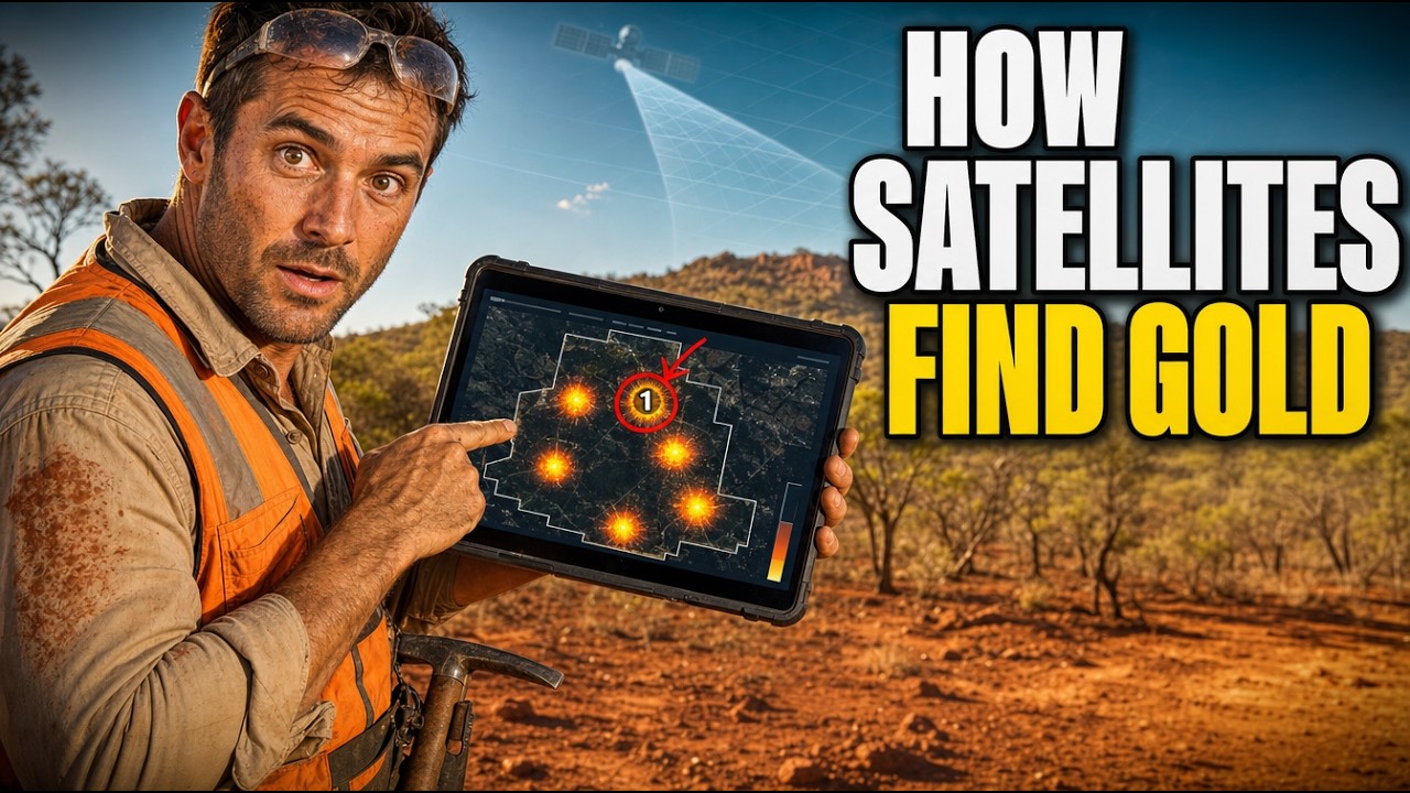
No, and any provider claiming otherwise is overselling. Satellites detect the alteration mineralogy, iron-oxide and clay signatures, and structural features associated with gold-bearing systems — not gold atoms. Satellite gold exploration is a targeting technology: it ranks ground by relative favourability so that drilling is directed rather than speculative. Confirmation always requires drilling and laboratory assay.
What was the outcome on the NTS Group project?
NTS Group reported that the recommended targets were drilled and that mineralisation was found at them, and that the analysis narrowed their search, saved time and saved cost. Laboratory assay was still outstanding when they submitted their feedback, so no grade is stated anywhere in this article.
Is 53 hectares too small for satellite screening to be worthwhile?
No — and small parcels often benefit most in proportional terms. The fixed costs of a conventional first pass (mobilisation, grid establishment, sample dispatch, laboratory turnaround) do not scale down with area, so per-hectare they hit hardest on small ground. Analysis cost, by contrast, is largely insensitive to area at this scale. On a small property the screen is also more precise in its effect, because there may only be room for a handful of holes.
We are a consultancy, not a licence holder. Can we commission this for a client?
Yes — that is precisely the arrangement described in this case study. Advisory, consulting and services firms commission screening on behalf of the parties they advise, and receive the same deliverable: a PDF report plus georeferenced GIS files that can be integrated into your own reporting or presented to your client directly. Confidentiality of the underlying ground is respected in both directions.
What are the actual coordinates and modelled figures for this project?
They are not published, because they are not ours to publish. Boundaries, coordinates, zone geometry, modelled grades and contained-metal estimates are commercially sensitive and could affect land access, negotiation and competitive position. NTS Group’s own client is not a party to this record and is not identified or described anywhere in this article. Every figure here is either an NTS Group-authorised response or public regional context.
Does satellite analysis count as recognised exploration under South African or international codes?
Satellite-derived estimates are exploration targets, not Mineral Resources under SAMREC, JORC, NI 43-101 or equivalent codes. They cannot be reported as resources and cannot replace drilling, sampling and a competent person’s assessment. Their role is upstream of that process — deciding where the drilling that does generate reportable data should happen. As a documented technical assessment, however, a report of this kind is a legitimate record of exploration work performed.
How do I start on ground in South Africa or elsewhere in southern Africa?
Send the area of interest — coordinates, KML/KMZ or polygon — and the target commodity via the mining query form, or draw the property directly at mining.farmonaut.com. Turnaround is typically 5–20 business days, and we work across 25+ countries.
Published with the express consent of NTS GROUP (PTY) LTD, who authorised use of their company name and testimonial. The testimonial is reproduced verbatim as submitted, with a single space added after a full stop and no other change. NTS Group’s own end client is not a party to this record and is not named, described or characterised. Boundary geometry, coordinates, zone-level modelling and contained-metal estimates remain confidential and are not disclosed. Reported time and cost savings are NTS Group’s own selections from banded questionnaire options, and those bands are the figures used throughout this article. Mineralisation at the drilled targets is a client field observation; laboratory assay was reported as outstanding at the time of feedback, and no grade is claimed or implied. Photography is illustrative of southern African exploration conditions and does not depict the client’s site or programme. Satellite-derived estimates are exploration targets and do not constitute Mineral Resources or Reserves under SAMREC, JORC, NI 43-101 or any equivalent reporting code, and are not a substitute for drilling, sampling or competent-person assessment.
Discussion
Questions, corrections or field experience? Share them below. First-time comments are reviewed before they appear, and your email is never published.
No comments yet. Be the first to add a question or your experience.

 SenGold Invest SAS
 Sania Corporation
 Sean Mining Limited
 NTS Group (Pty) Ltd
 Mine4Africa
 Lithspo Minerals Limited
 Tintina Mining Group
 Dalgety Minerals Pty Ltd
 Vortex Minerals Pty Ltd
 Faith At Work (Pty) Ltd
 Geotech Mining Solutions plc
 Vulcan International Limited
 Kidepo Associates
 GKY Mining
 Alkimy SARL
 Double A Trading
 GemSprout Metals Limited
 Qader Group
 Ileys General Trading
 SG Gold Mining LLC
 VRV Global Pte Ltd
 Omsri International FZE
 G.I.T.T.
 Jaunita Erss Ltd
