Best Drone for Topographic Survey: 7 Survey Advantages for Mapping, Agriculture, and Forestry in 2025
“In 2025, advanced drones can capture topographic survey data with centimeter-level precision in over 100 hectares per flight.”
Introduction: Drones Redefining Topographic Surveys in 2025
Precision land mapping and surveying have never been more critical to industries like agriculture, forestry, and infrastructure. As we step into 2025, the era of traditional survey methods is rapidly being replaced by drone technology that is revolutionizing how data is collected, analyzed, and utilized for informed decision-making. The best drone for topographic survey now offers rapid, detailed, and high-accuracy topographic information, transforming precision agriculture, forest management, and urban planning worldwide.
This comprehensive guide explores the advantages of drone survey—from operational efficiency and cost reduction to state-of-the-art LIDAR and multispectral sensors. We compare the best drone for surveying and mapping in 2025, explain how RTK and AI-driven data processing are shaping survey excellence, and show how drones are now indispensable tools in various sectors.
The Evolution of Topographic Surveying: From Traditional Methods to Drones
Topographic surveying involves gathering detailed information about the terrain: elevations, contours, landforms, water bodies, vegetation, and man-made features. Historically, these surveys demanded laborious fieldwork, manual ground point collection, and manned aircraft overflights, making them expensive, slow, and sometimes impractical in remote or hazardous regions.
Drones—or Unmanned Aerial Vehicles—have revolutionized this workflow in just a few years. As early as 2020, their adoption surged, but 2025 sees an explosion in capabilities: smarter sensors (like LIDAR, multispectral and photogrammetry), advanced RTK positioning, longer flight times, cloud-based processing, and seamless integration with AI and GIS systems.
- Manual surveys—often slow, costly, and limited by terrain or weather—are increasingly obsolete.
- Drones cover areas rapidly, with high data accuracy, even over difficult terrain or dense forest canopy.
- Ground control points still matter for perfect calibration, but RTK/PPK drones can often eliminate the need in large projects.
- With drone-based photogrammetry and LIDAR, users now get up-to-date, 3D models for crop management, irrigation design, forest conservation, urban planning, and more.
Why Are Drones the Best Choice for Topographic Surveying in 2025?
In 2025, drones stand out as the best tools for topographic survey due to their impressive blend of precision, efficiency, and adaptability:
- Flight Time & Endurance: Modern drones such as the DJI Matrice 300 RTK routinely achieve flight times of up to 55 minutes per charge, covering massive areas per mission and reducing required ground crews.
- RTK/GNSS Positioning: High-accuracy modules eliminate or reduce ground control points, streamlining mapping workflows.
- Sensor Diversity: Equipped with LiDAR modules, advanced cameras, or multispectral sensors, they adapt to agriculture, forestry, and even urban environments.
- Data Quality: Produce centimeter-level accuracy and generate detailed 3D models, DEM/DTM, and orthophotomap outputs for optimal land management decisions.
Drone Model Comparison for Topographic Surveys (2025)
Selecting the best drone for surveying and mapping in 2025 involves comparing flight endurance, cameras, sensors, RTK integration, and cost.
| Drone Model | Camera Resolution (MP) | Flight Time (minutes) | Maximum Coverage Area (acres/flight) | RTK/GNSS Capability | Data Accuracy (cm) | Price Range (estimated, USD) | Notable Advantages |
|---|---|---|---|---|---|---|---|
| DJI Matrice 300 RTK with LIDAR/multispectral/photogrammetry modules |
20 / 45 (single/dual) | 55 | 400+ | Yes (RTK/PPK) | 1–2 (with RTK) | $13,000–$30,000 (depends on sensors) | Superior modularity; high accuracy; RTK integration; excellent for both forestry and agriculture |
| SenseFly eBee X | 24 | 90 (with Endurance Extension) | 1200 | Yes (RTK/PPK) | 3–5 | $15,000–$25,000 | Huge coverage per flight; fixed-wing; lightweight; reportedly best for large scale mapping |
| Quantum Systems Trinity F90+ with LIDAR or photogrammetry |
42 | 90 | 865 | Yes (PPK) | 2–5 | $20,000–$30,000 | Vertical takeoff & landing; long-range; proven in dense forests; LIDAR ready |
| DJI Phantom 4 RTK | 20 | 30 | 100 | Yes (RTK) | 2–3 | $6,500–$8,000 | Affordable; easy to use; highly accurate for smaller plots |
| Parrot Anafi USA | 32 | 32 | 75 | No (uses standard GNSS) | 5–8 | $7,000–$9,000 | Rugged; multi-sensor payload; rapid deployment; value |
“Precision drones now process topographic mapping data up to 70% faster than conventional land survey methods.”
7 Key Advantages of Drone Survey in 2025
Let’s analyze in depth why the advantages of drone survey have made drones the best option for modern agriculture, land management, forestry, and beyond.
- Cost-Effectiveness and Time Efficiency
- High Accuracy and Resolution
- Safety and Accessibility
- Multispectral and Hyperspectral Data Capture
- Real-Time Data Processing & Integration
- Scalability & Repeatability
- Sustainability & Environmental Benefits
1. Cost-Effectiveness and Time Efficiency—Why Drones Are Best Compared to Traditional Methods
Deploying the best drone for topographic survey in 2025 means drastically reducing both surveying time and cost minimum by 50–70%, compared to manned aircraft or manual ground teams.
- Large areas covered rapidly: A single drone flight can map hundreds of acres in just one session—areas that would take ground crews days or weeks.
- Lower labor costs: Drones require fewer operators, saving on wages, transport, and accommodation.
- Minimal equipment expenses: No need for heavy machinery, tripods, or expensive aircraft rentals.
- Instant results: Data is often available within hours, rather than waiting days for post-survey processing.
Example: A Quantum Systems Trinity F90+ can scan vast forested areas in a single day, providing tree density, biomass assessments, and terrain models with immense speed.
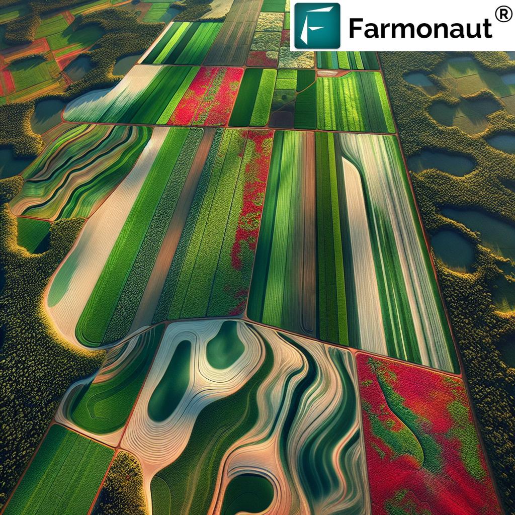
2. High Accuracy and Resolution: Advanced Sensors Revolutionizing Survey Results
Thanks to LiDAR, photogrammetry, and RTK/GNSS advancements, modern drones offer centimeter-level data accuracy that rivals (and sometimes outperforms) traditional ground surveys.
- RTK and PPK (Post-Processed Kinematic) provide precision without dozens of ground control points.
- High-resolution cameras (up to 45MP) and multi-angle image capture generate detailed terrain models, DEM/DTM, and orthomosaics.
- LiDAR sensors penetrate leafy canopy to provide accurate bare-earth models—a game changer for forestry.
Why this matters: Contour mapping, irrigation zoning, soil erosion analysis, forest biomass estimation, and crop planning all depend on data accuracy and detail.
3. Safety and Accessibility—Survey Risky Terrains Effortlessly
Drones minimize direct human exposure to hazardous, remote, or hard-to-access terrain. This is vital for sectors like:
- Forestry: Scan steep slopes, wetlands, or fire-affected zones with no danger to crews.
- Agriculture: Rapidly assess large and flood-prone fields after storms or pest attacks, where ground access is blocked.
- Mining & Infrastructure: Evaluate pits, construction sites, or unstable areas safely.
By eliminating time on the ground, drones make survey data collection not only faster but fundamentally safer.
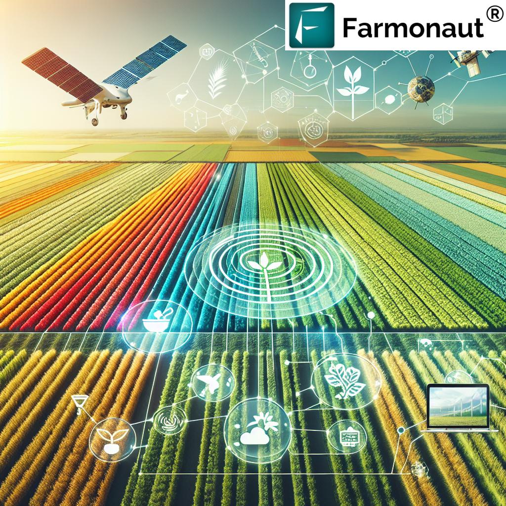
4. Multispectral and Hyperspectral Data Capture: Insights Beyond the Visible Spectrum
Equipped with multispectral and hyperspectral cameras, the best drones for surveying and mapping can capture data invisible to the naked eye, enabling:
- Vegetation Health: NDVI and related indices reveal crop stress, pest/disease symptoms, and fertilizer needs for precision agriculture.
- Soil Analysis: Moisture, organic matter, and salinity can be inferred, boosting irrigation planning & input optimization.
- Forest Assessment: Assess tree health, height, and biomass—crucial for forest conservation and carbon footprinting.
For farmers: These insights translate to better yields, resource savings, and sustainable management (see also: Farmonaut Carbon Footprinting platform for integrating satellite monitoring with drone data).
5. Real-Time Data Processing & Integration—Make Informed Decisions, Fast
With cloud-based platforms and onboard AI processing, drones in 2025 provide:
- Near real-time visualization of topographic survey data in the field via mobile devices
- Seamless integration with leading GIS, precision farming, and resource management software (see: Farmonaut Large Scale Farm Management for satellite & drone data unification)
- Automated digital elevation model (DEM) generation for planning and engineering
- Blockchain-based traceability for verifying data origin (explore how satellite & drone traceability supports transparency: Farmonaut Traceability)
Faster access to data supports swift response in agriculture, rapid disaster assessment, and ongoing change monitoring in forests and infrastructure.
6. Scalability & Repeatability—Consistent Surveying for Large or Seasonal Projects
Drones allow for scalable, repeatable surveys—critical for:
- Multi-seasonal crop planning and benchmarking (track changes over time using identical flight paths and settings)
- Expansion across large landholdings or forests by adding additional platforms and pilots
- Satellite and drone synergy: Platforms like Farmonaut’s Crop, Plantation, & Forest Advisory help coordinate satellite and drone inputs at scale, combining the best of both worlds (for macro and micro insights)
7. Sustainability & Environmental Benefits—Smarter Land and Ecosystem Management
The best drones for topographic survey minimize emissions (much lower than manned aircraft), avoid habitat disruption, and enable smarter conservation:
- Monitor forest health, carbon sinks, and soil degradation
- Detect illegal clearances, fires, or land encroachment before they escalate
- Support sustainable certifications and environmental reporting with traceable, objective data (see: Farmonaut’s carbon footprinting)
Environmental compliance and sustainability reporting are now easier and more accurate through combining drone and satellite technology.
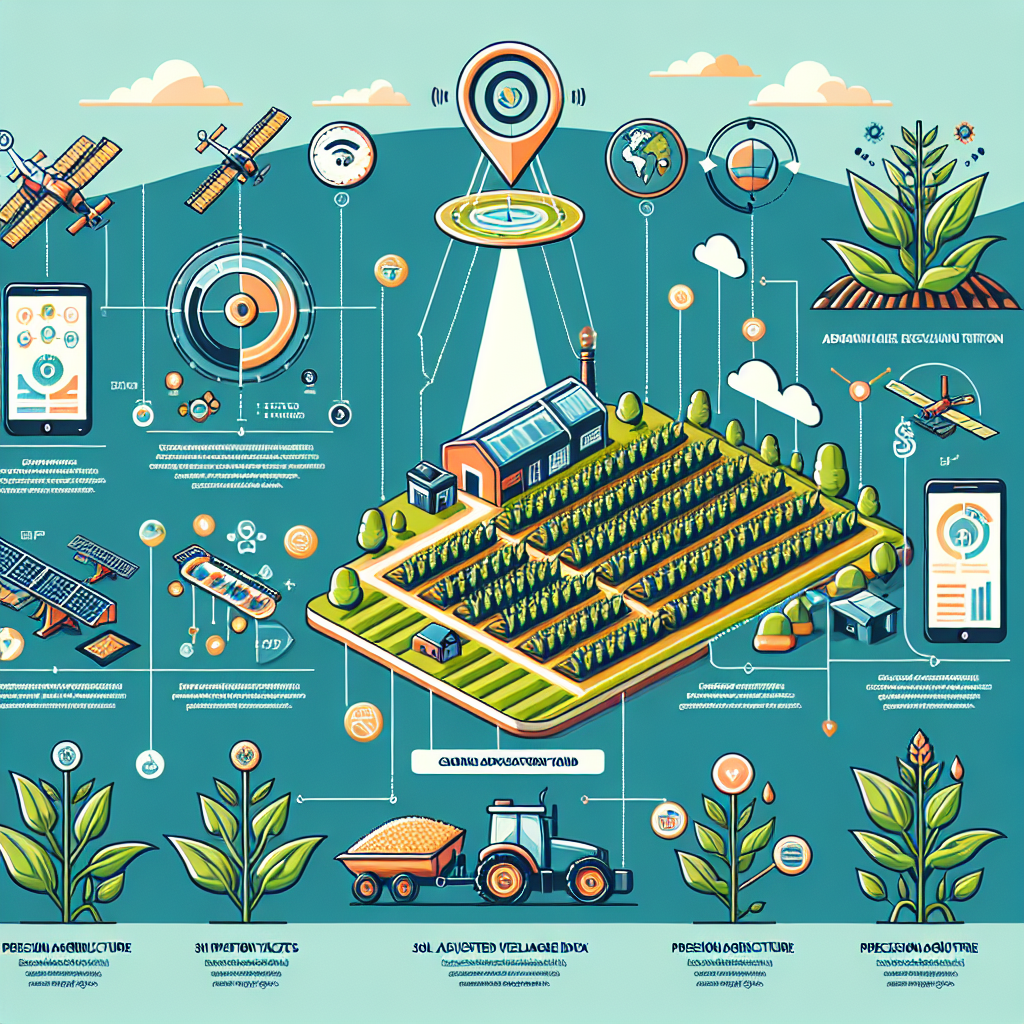
Selecting the Best Drone for Surveying and Mapping: Factors to Consider in 2025
With so many drones and sensor packages available, selecting the best drone for topographic survey depends on key project needs:
- Project scale: Large acreage or small field? Fixed-wing drones like SenseFly eBee X offer maximum range, while multirotor models give flexibility on smaller or complex plots.
- Required data accuracy: For engineering, centimeter accuracy via RTK/PPK modules is a must; for general mapping, slightly lower accuracy may suffice.
- Sensor requirements: Choose LIDAR equipped drones for bare-earth models under canopy, or multispectral sensor payloads for crop health in agriculture.
- Budget: Carefully weigh costs versus feature sets. Some drones offer outstanding value for specific applications.
- Integration with other platforms: Ensure your drone data feeds smoothly into GIS/management tools—Farmonaut offers APIs and apps to streamline this process.
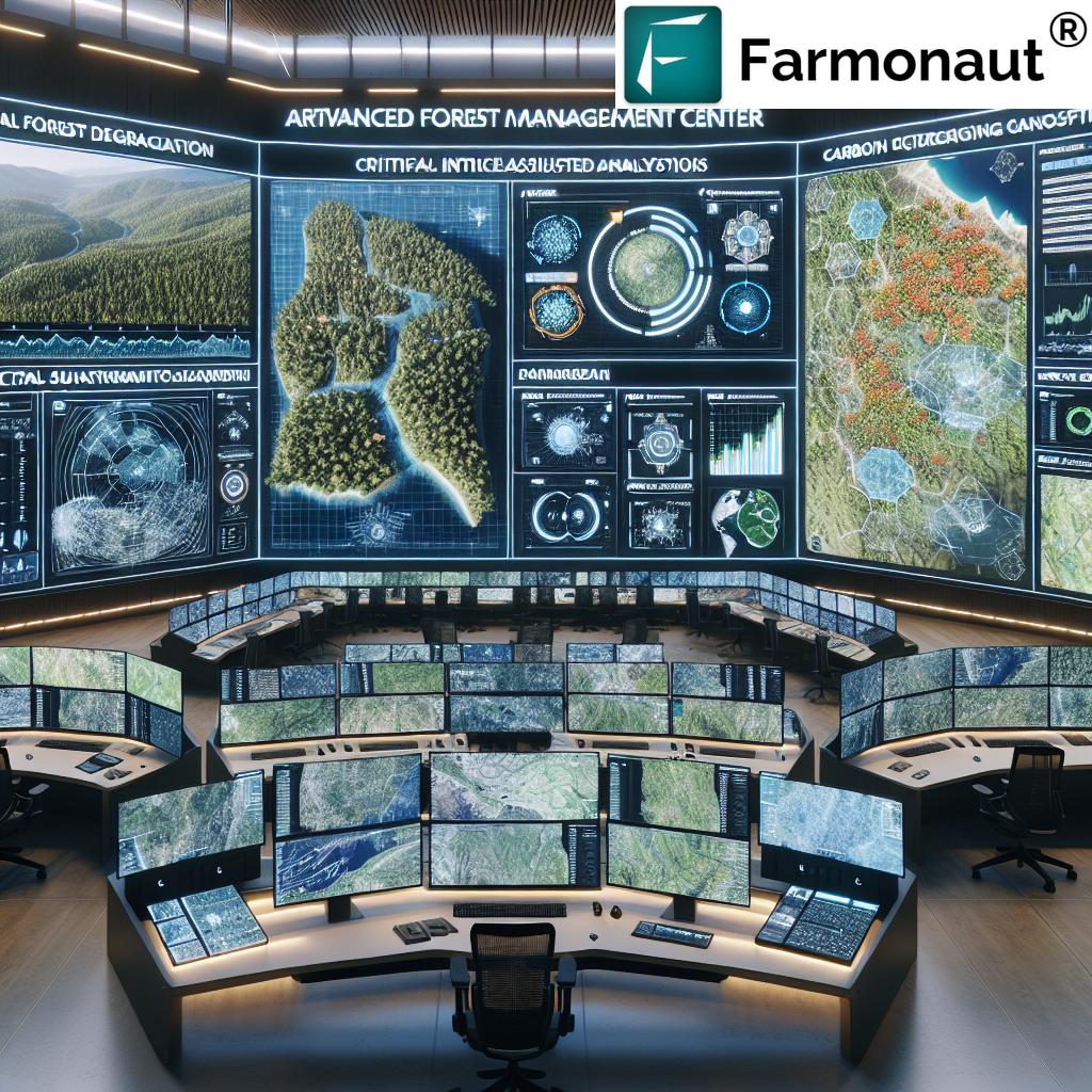
Farmonaut’s Satellite Technology for Topographic Insights
While drones redefine ground-level precision, satellite platforms—like those we offer at Farmonaut—provide macro-scale monitoring, trend analysis, and automated, actionable insights that complement drone-based approaches. Our platform leads in:
- Multispectral satellite imagery for crop health, forest monitoring, soil conditions
- AI-based advisory systems for real-time, weather, and seasonally specific guidance
- Blockchain traceability for supply chains (ideal for agriculture, mining, and forestry)—learn more
- Fleet and resource management that integrates satellite and drone data—explore fleet solutions
- APIs and mobile access for seamless integration:
API,
Developer Docs
Integrating satellite and drone data offers users unprecedented depth and breadth for land management, resource planning, and environmental monitoring. Whether you’re a farm manager, forester, government agency, or financial institution, our solutions are accessible on 


Key Drone Use Cases Across Sectors & Land Types
Agriculture & Precision Farming
- Mapping soil contours for irrigation system design
- Crop planning, planting density, and erosion assessment
- Spotting disease, pest attacks, or nutrient imbalances with multispectral data
- Yield forecasting, resource optimization, and post-disaster assessment
- Supporting crop loan and insurance validation (see: Farmonaut Crop Loans & Insurance Verification—satellite/drone synergy for lenders & insurers)
Forestry, Conservation & Environmental Monitoring
- Assessing canopy height, density, health quickly and repeatedly
- Biomass modeling and sustainable forest management plans
- Detecting fires, illegal logging, re-growth or disease outbreaks early
- Measuring carbon stocks for sustainability certifications
Infrastructure, Construction, Mining & Government
- Pre-construction topographic mapping for roads, pipelines, or housing
- Surveying mining sites, pits, and stockpiles for resource extraction planning and volumetric calculations
- Monitoring infrastructure health, illegal activity, or environmental impact over time
FAQ: Best Drones for Topographic Survey in 2025
Which drone is considered the best for topographic survey in 2025?
The DJI Matrice 300 RTK (equipped with LiDAR, multispectral, or photogrammetry sensors) and the SenseFly eBee X continue to lead for precision, endurance, and large area coverage. The Quantum Systems Trinity F90+ is also widely recognized for complex and forested terrains.
What are the main advantages of drone survey over traditional methods?
Drones provide faster data acquisition, higher accuracy, reduced cost, lower risk, access to challenging terrains, superior multispectral insights, and scalable repeatability for ongoing land management.
How accurate is drone-based topographic mapping today?
With RTK/PPK and advanced sensors, drones achieve 1–3 cm horizontal and vertical accuracy under optimal flight and ground conditions.
Can drones penetrate forest canopies for ground mapping?
Yes, LiDAR-equipped drones specialize in bare-earth mapping below dense canopy, enabling forest asset mapping, biomass estimation, and terrain modeling.
How can I link drone data to larger management platforms?
Platforms like Farmonaut provide APIs and applications that combine satellite, drone, and ground data for holistic management, reporting, and environmental tracking.
What is the best drone for cost-sensitive projects?
Fixed-wing models such as the SenseFly eBee X offer exceptional area coverage at a reasonable price, particularly when absolute centimeter-level precision is not required.
Conclusion: Unlock Precision—The Future of Topographic Surveying
In 2025 and beyond, the best drone for topographic survey has become a critical asset for agriculture, forestry, and land management. From the DJI Matrice 300 RTK to the SenseFly eBee X and Quantum Systems Trinity F90+, drones stand at the forefront of advanced mapping solutions.
- Survey advantages: Cost savings, faster results, high accuracy, environmental safety, rich sensor payloads, scalability, and sustainability shape the industry today.
- Precision agriculture and forestry: Combining drone and satellite data, managers can proactively address challenges—from water management and fertilizer use to forest conservation and compliance.
- Farmonaut technology: Our mission is to unlock this new potential—making advanced satellite and AI-driven insights accessible through state-of-the-art platforms, APIs, and real-time tools.
Make the switch to advanced surveying—combine the unique strengths of the best drones and satellite-driven data to manage your land, protect our environment, and grow more responsibly.
Get Started: Farmonaut Subscriptions