

Reviewed September 2026 against FAA Part 137 operator data and the American Spray Drone Coalition’s 2025 statistics.
Try it: Run your own numbers →
Farm Drones and Agricultural Drones: The Short Answer
Farm drones and agricultural drones are unmanned aircraft used to spray, scout, and map cropland, and in the United States they are now a licensed commercial category, not an experiment. The Federal Aviation Administration had certificated 1,710 Part 137 agricultural aircraft operators using drones as of September 2025, and those operators collectively treated an estimated 16.4 million acres with spray drones in 2025, according to the American Spray Drone Coalition and FAA data. Hiring a drone spraying service cost an average of $13 per acre in 2025, down from $21 per acre in 2024 — a price drop that matters more to your budget than any single feature spec.
This guide covers what agricultural drones (also searched as agriculture drones, farming drones, and precision agriculture drones) actually do, what agriculture spray drones cost to buy or hire, how the leading models compare on payload and coverage, and where the real evidence gaps are — because several numbers you’ll see quoted elsewhere (state-by-state adoption, crop-specific yield gains, operator profitability) are not yet published anywhere authoritative, and we say so plainly rather than making them up.

How Drones Are Changing Row-Crop and Specialty Agriculture
The core shift is regulatory and economic, not just technical. Part 137 is the FAA’s agricultural aircraft operating certificate, and it now applies to drones the same way it has long applied to manned crop-dusters. Reaching 1,710 certificated drone operators by September 2025 means agricultural drone spraying has crossed from novelty into a licensed, insurable service category that a farm operator can hire the way they’d hire a manned aerial applicator — full detail on certification requirements is at the FAA’s own dispensing chemicals from drones page.
On the adoption side, the clearest state-level data point available is Iowa, where 22% of farmers reported using agricultural drones in 2025, per survey data compiled by the Agricultural Drone Directory. That figure is useful as a directional benchmark for a major row-crop state, but it is not a national number — no comprehensive multi-state adoption survey currently exists, and adoption varies widely by crop type and region. If you need adoption data for your own state, the most reliable path is to check whether your state’s department of agriculture or land-grant extension service (for example, university extension programs) has run its own grower survey, since USDA does not yet break drone usage out as its own category in the Census of Agriculture or NASS surveys.
Key Applications of Agricultural Drones Today
- Crop Health Monitoring — track development, detect disease or pest pressure earlier than a ground walk-through would catch it.
- Soil and Field Analysis — map variability across a field to guide planting and input decisions.
- Precision Spraying — the largest and fastest-growing use case, covered in depth in the next section.
- Yield Forecasting — combine imagery with historical yield data for in-season projections.
- Data Integration — sync flight data with farm management software for recordkeeping and compliance.
Because “drones agriculture,” “agriculture drones,” “agricultural drone,” and “farming drones” are effectively the same search intent split across phrasing, the rest of this guide treats them as one topic: what the aircraft do, what they cost, and how to evaluate one for your acreage.

Agriculture Spray Drones: What They Actually Cost
Agriculture spray drones — sometimes called ag spray drones or precision farming drones — apply fertilizer, herbicide, fungicide, or insecticide from the air with far tighter targeting than a boom sprayer. The economics moved fast: the average cost to hire a drone spraying service fell from $21 per acre in 2024 to $13 per acre in 2025, a 38% drop in one year as more Part 137 operators entered the market and competition pushed prices down, per the American Spray Drone Coalition’s figures. That $13-per-acre benchmark is what you should compare any quote against when a local operator prices a job for you.
The performance case for spray drones rests on peer-reviewed research the FAA cites directly: drone application can cut pesticide volume by 46% to 75% compared with ground equipment, and it reduces the operator’s chemical exposure by 90% to 99%, because the pilot never walks through a treated field carrying a tank on their back. Both figures come from academic studies referenced on the FAA’s agricultural drone dispensing page, and they are the strongest, most citable numbers in this entire category — most competing articles either omit them or round them into vague “reduces chemical use” language.
- Precision Application: variable-rate nozzles and GPS/RTK guidance target only the area that needs treatment, which is the mechanism behind the 46–75% chemical reduction figure above.
- Speed on tight weather windows: a drone can launch within minutes of a spray window opening, without waiting for soil to dry enough for a ground rig.
- Operator safety: the 90–99% exposure reduction matters directly for Part 137 certification and insurance underwriting, not just as a marketing point.
- Access to difficult terrain: steep, wet, or irregularly shaped fields that a ground sprayer damages or can’t reach at all.
If you’re deciding whether to hire a service or buy your own aircraft, the $13-per-acre hire rate is your baseline for the “buy vs. hire” math further down this page — see the calculator in the payback section.

Precision Agriculture Drones: Monitoring & Management
Precision agriculture drones extend beyond spraying into scouting and mapping, using multispectral, thermal, and RGB sensors to:
- Flag crop stress from pests, disease, water deficit, or nutrient imbalance before it’s visible from the ground.
- Map field variability to target variable-rate seeding and fertilizer applications.
- Track weed pressure and plant stand counts for planning and input budgeting.
- Feed compliance recordkeeping and yield-forecasting models.
- Sync with farm management software for a single operational view.
The published evidence gap here is real and worth naming rather than papering over: large-scale, randomized field trials isolating drone monitoring’s effect on corn, soybean, or wheat yield specifically are limited — most published results are small-scale or anecdotal. If a vendor quotes you a precise yield-lift percentage for your crop, ask for the trial design and sample size behind it, because no single authoritative source currently tracks that figure at scale. What extension services do publish reliably is descriptive: the University of Maryland Extension’s overview of drones in agriculture covers drone types, sensor categories, and the practical adoption barriers extension agents hear most from growers, which is a more honest starting point than an invented ROI percentage.

Agricultural Drone Technology and Features
Whatever generation of hardware is current when you’re reading this, the features worth evaluating haven’t changed shape — only their specs improve:
- Onboard AI: real-time obstacle detection and adaptive spray-pattern adjustment without constant pilot input.
- Flight endurance: battery-powered multirotor sprayers typically fly missions in the tens of minutes per battery before a swap, which is why tank size and battery-swap logistics matter as much as headline flight time.
- Payload capacity: tank sizes on commercial ag spray drones range from roughly 2.5 gallons on small survey-oriented units up to 10+ gallons on heavy-lift sprayers — check the comparison table below for specific models.
- GPS/RTK guidance: real-time kinematic positioning keeps spray swaths accurate to inches, reducing overlap and skips.
- Terrain-following sensors: radar or lidar altitude hold keeps spray height consistent over uneven ground.
- Data integration: flight logs and as-applied maps that export to farm management platforms for recordkeeping required under Part 137.
Because hardware specs date quickly, the way to verify current numbers for any model is to check the manufacturer’s published spec sheet directly and cross-reference it against your state’s drone operator association or a local Part 137-certificated dealer, rather than trusting a spec list on a comparison article — including parts of the table below, which should be treated as a starting point for your own verification.

Comparison Table: Agriculture & Spray Drone Models
Use this table as a starting shortlist, then verify current pricing and specs directly with each manufacturer or dealer before purchasing — prices shift with currency, tariffs, and model-year updates.
| Drone Model | Manufacturer | Flight Time (min) | Tank/Payload Capacity | GPS/RTK Support | Data Integration | Sensors |
|---|---|---|---|---|---|---|
| DJI Agras T50 | DJI | ~15–18 per battery | ~10.6 gal (40 kg) | Yes (RTK) | Cloud sync, API | Multispectral, radar terrain-follow |
| XAG P100 Pro | XAG | ~10–12 per battery | ~10.6 gal (40 kg) | Yes (RTK) | XAG Data Platform | Thermal, multispectral |
| Hylio AG-230 | Hylio | ~8–10 per battery | ~2.6 gal (10 kg) | Yes (RTK) | Hylio Portal | Spray-rate sensors |
| Guardian AgX | Guardian Agriculture | Fixed-interval mission | ~15 gal | Yes (RTK) | Proprietary platform | Terrain-follow radar |
| Parrot Disco-Pro AG | Parrot | ~45 (fixed-wing survey) | N/A — survey only, no tank | Yes | RTK sync, cloud | Multispectral |
Note: flight time per battery, not per mission — most operators run multiple battery packs and tank refills per day. For deeper technical detail on sensor-driven imaging and AI farming applications, see Farmonaut’s guide to agriculture drone images and AI farming, and for a spray-drone-specific breakdown see our agrispray drones comparison.

Farmonaut: The Satellite Layer That Complements Drones
Farmonaut does not manufacture drones. What it provides is the satellite and advisory layer that sits above field-level drone data, giving a whole-farm view that complements the acre-by-acre resolution a drone captures on a single flight.
- Satellite-Based Crop Health Monitoring: through Farmonaut’s large-scale farm management platform, growers track NDVI, soil conditions, and water stress across entire operations from space — a complement to the field-resolution imagery a drone collects.
- Blockchain Traceability: Farmonaut’s traceability solution gives buyers a tamper-proof record of a crop’s journey from field to shelf.
- AI-Based Advisory: Jeevn AI analyzes drone and satellite data together, flagging disease risk and nutrient management actions.
- Fleet and Resource Management: the fleet management platform coordinates logistics and safety across drone and machinery operations.
- Carbon Footprint Tracking: the carbon footprinting service supports regulatory reporting and sustainability goals.
- Crop Loan & Insurance Verification: satellite-based verification reduces fraud risk in farm finance.
Access Farmonaut’s platform across Android, iOS, and Web:
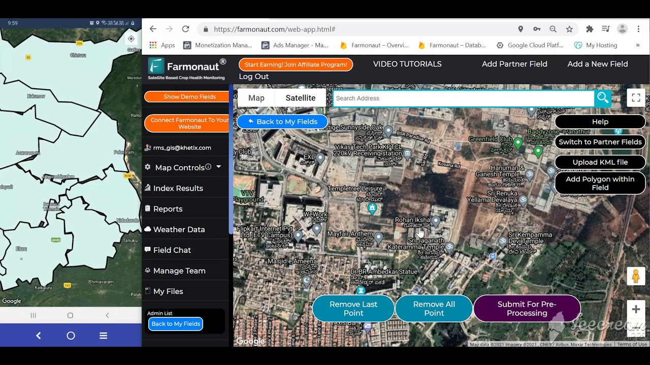
Developers can integrate Farmonaut’s satellite and advisory data into custom dashboards using the public API and developer documentation, including pulling drone-complementary weather and vegetation index data programmatically.

Sustainability and Compliance Benefits of Drone Application
The 46–75% pesticide reduction and 90–99% operator exposure reduction figures cited earlier (FAA, citing peer-reviewed studies) are the backbone of the sustainability case for agriculture spray drones, but they translate into concrete on-farm practices:
- Targeted input use: spraying only affected zones cuts chemical runoff into waterways, directly supported by the reduction figures above.
- Reduced soil compaction: aerial application avoids the repeated ground-rig passes that compact soil structure over seasons.
- Lower operator chemical exposure: the 90–99% figure has direct implications for worker safety compliance and insurance costs under Part 137 operations.
- Recordkeeping for compliance: flight logs and as-applied maps support pesticide application recordkeeping requirements.
- Emissions: smaller battery-electric aircraft replacing diesel ground rigs or manned aircraft on a per-pass basis reduces fuel burn, though no single published figure quantifies this at scale — track your own fuel savings against your prior ground-rig diesel use for a farm-specific number.
Challenges and Open Questions for Agricultural Drone Adoption
The honest picture includes gaps that most comparison articles skip past. Here’s what’s solid and what isn’t yet:
What’s Well-Documented
- FAA Part 137 certification requirements and operator counts (1,710 as of September 2025) — see the FAA’s drone survey data.
- Pesticide reduction (46–75%) and operator exposure reduction (90–99%) from peer-reviewed studies cited by the FAA.
- National service pricing trend: $21/acre in 2024 down to $13/acre in 2025.
What’s Not Yet Published
- State-by-state adoption beyond Iowa’s 22%: no comprehensive multi-state survey exists yet. Check your state land-grant extension service for local data.
- Crop-specific yield impact: large-scale randomized trials for corn, soybeans, or wheat specifically are limited; treat any precise yield-lift percentage you see quoted with skepticism and ask for the underlying study.
- Operator profitability: no authoritative source tracks average income or business sustainability for Part 137 drone operators across regions — if you’re considering starting a spraying service, build your own model from local fuel, battery, insurance, and labor costs rather than relying on a published average.
- Fixed-wing drone data: most available market data covers rotary-wing (multicopter) sprayers; fixed-wing adoption and pricing remain underrepresented in public sources.
How to Get Current Numbers
The 16.4-million-acre and $13-per-acre figures above are 2025 figures. To check whether they’ve moved: FAA Part 137 operator counts are tracked via the FAA’s own operator survey data, and the American Spray Drone Coalition publishes annual reports with the next update expected in Q1 2027. Per-acre service pricing is worth re-checking seasonally — agricultural contracting surveys and drone operator association pricing reports are typically refreshed each Q1 and Q3 as new-season contracts are negotiated.
Drone Spraying Payback Calculator
Use the 2025 national averages above as your starting point, then swap in your own acreage, quoted hire rate, and estimated drone cost to see whether buying pays back faster than continuing to hire a service.
Run your own numbers
Assumptions: the default $13/acre hire rate and $6/acre owner-operating estimate are starting points, not your numbers — replace them with a written quote from a local Part 137 operator and your own fuel/battery/labor math. The calculator excludes financing costs, insurance, training, maintenance downtime, and resale value, and it does not account for the pesticide-volume savings (46–75% per FAA-cited studies) that a drone can add on top of labor savings.
FAQs: Farm Drones, Agricultural Drones & Spray Drones
- Q1: How much does it cost to hire an agricultural drone spraying service?
The national average was $13 per acre in 2025, down from $21 per acre in 2024, according to the American Spray Drone Coalition. Get a written quote from a local FAA Part 137-certificated operator for your specific crop and acreage. - Q2: How many agricultural drone operators are certificated in the US?
The FAA had certificated 1,710 Part 137 agricultural aircraft operators using drones as of September 2025. Check the FAA’s drone survey data directly for the current count, since this is refiled and updated over time. - Q3: Do spray drones actually reduce pesticide use?
Yes — peer-reviewed studies cited by the FAA show drone application can cut pesticide volume by 46% to 75% compared with ground equipment, while reducing operator chemical exposure by 90% to 99%. - Q4: What percentage of farmers use agricultural drones?
The clearest published figure is Iowa, where 22% of farmers reported using agricultural drones in 2025. No comprehensive multi-state or national adoption survey currently exists — check your state’s extension service or department of agriculture for local data. - Q5: Is buying or hiring a spray drone service cheaper?
It depends on your acreage and how many years you’ll use the aircraft. Use the payback calculator above with your own quoted hire rate and estimated owner-operating cost to check your specific numbers. - Q6: Can drone imagery be combined with satellite crop monitoring?
Yes. Platforms like Farmonaut offer API-based integration so drone-collected imagery and satellite vegetation index data can be viewed together for a farm-wide picture alongside field-level detail. - Q7: What’s the biggest unresolved question for buyers right now?
Operator profitability and crop-specific yield impact. No authoritative source currently tracks average income across drone spraying businesses, and large-scale randomized yield trials by crop are limited — build your own farm-specific model rather than relying on a published average.
Conclusion: Where Agricultural Drone Adoption Goes Next
Agricultural drone adoption in the US is a continuing story with a clear trajectory so far: 1,710 certificated Part 137 operators as of September 2025, 16.4 million acres treated in 2025, and a per-acre service price that fell from $21 to $13 in a single year. What would change this picture going forward is straightforward to watch: the American Spray Drone Coalition’s next annual report (expected Q1 2027) will show whether acreage and operator counts kept climbing, and whether per-acre pricing kept falling as more operators entered the market or stabilized as the initial price war settled.
What won’t change is the underlying evaluation method: check the current FAA Part 137 operator count for your region, get a written per-acre quote from a certificated operator, compare it against the payback calculator above using your own acreage and cost estimates, and treat any yield-lift or profitability claim that isn’t sourced to a named study as marketing rather than data. For broader crop management context, Farmonaut’s guide to market trends, crop management, and sustainable farming practices covers how drone data fits into a wider farm management strategy, and our agriculture spray drone comparison goes deeper on spraying-specific models.
Ready to pair drone-level detail with whole-farm satellite monitoring? Explore Farmonaut’s subscription-based solutions or get started now on our web and mobile apps.

 TVS Electronics
 BW Pipelines
 WICO
WICO Gen Chayat
 Chimera Innovation
 Hiteshi Infotech
 SkyHarvest
 Polaris Digitech
 Teledarbas
 Wild Oak Farm
 SFX
SFX BACF Africa
 Doodlakine
 Exurbia Geospatial
 FieldZero
 Indico Company
