

Reviewed September 2026 against FAA/Drone Launch Academy data, USDA Economic Research Service, and PLOS One peer-reviewed field studies.
An ag spraying drone treats roughly 20 acres per hour and costs around $13 per acre to hire as a service, according to 2026 industry data from Drone Launch Academy and the USDA Economic Research Service. That is the number most searches for “ag drones for spraying” and “precision spraying” are actually trying to find. AI-guided precision spraying adds a second layer on top of that base rate: sensors and onboard analytics that cut pesticide volume by 46–75% compared with ground rigs, per peer-reviewed research published in PLOS One.
Per-acre rates and the cost of owning a drone outright are broken down in a look at spray drone prices.
This page covers what a spray drone does, what it costs, how AI changes the spraying pattern itself, and how to find an operator near Champaign or Bloomington, Illinois. Where a number isn’t published for your county, we say so and point to where you can look it up yourself.

How Big Is US Ag Drone Spraying, Right Now
US agricultural spray drones treated an estimated 16.4 million acres of farmland in 2025, according to the American Spray Drone Coalition’s annual figures cited by Drone Launch Academy. Behind that acreage sits a market that Market.us sized at $596.4 million for the US agricultural drone sector in 2025, with a projection to reach $2.59 billion by 2030 — a rate that implies continued fleet expansion rather than a plateau. Rotary-wing (multirotor) platforms hold 62% of that market, the configuration favored for precision spot-treatment over the fixed-wing designs used for broad-acre mapping.
The operator side of that market is smaller and more traceable than the acreage figure: the FAA had certificated 1,710 Part 137 unmanned agricultural aircraft operators as of September 2025. That’s the count that actually gates supply — every acre sprayed commercially in the US runs through one of those certificate holders.
For context on where this fits against other precision-ag technology, Farmonaut’s agri spray drone innovations guide covers hardware options; this page focuses on the spraying operation itself — cost, coverage, regulation, and AI-guided application.
Cost and Coverage: What a Spray Drone Actually Delivers
Three figures define the economics of hiring or running a spray drone in 2026:
- $13 per acre — the average cost for commercial drone spraying services in US agriculture, per Drone Launch Academy’s 2026 figures.
- 20 acres per hour — the maximum coverage capacity for agricultural spray drones, per USDA Economic Research Service data.
- 146.84 MJ/ha — the energy consumption of drone spray application measured in the PLOS One field study, the kind of figure that lets you compare drone spraying against tractor or manned-aircraft energy use on your own fuel receipts.
These three numbers are why “ag drones for spraying” searches keep landing on generic overview pages instead of a page that answers the question: at $13/acre and 20 acres/hour, a single drone unit can turn over roughly $260 of billable coverage per flight-hour, before accounting for refill time, battery swaps, and transit between fields. Refill and battery-swap downtime is the variable that separates advertised acres-per-hour from what an operator actually bills in a full day — ask any quote you receive to state acres-per-day, not just acres-per-hour, so you can compare like with like.
For a benchmark that updates annually, Iowa State University Extension publishes a Custom Rate Survey each spring covering ground, aerial, and increasingly drone application rates by service type — check their current-year publication before signing a contract, since custom rates shift with fuel and labor costs from one season to the next.
AI for Precision Spraying: How the Pattern Changes
“AI for precision spraying” is a distinct search from “ag drones for spraying” because it’s asking about the decision layer, not the aircraft. AI-guided systems ingest live sensor and imagery data mid-flight and adjust droplet size, application volume, and flight path in response — rather than executing a pre-programmed blanket pass. The measurable result, per the PLOS One study, is a 46–75% reduction in total pesticide volume applied compared with conventional ground-spray methods, without adding flight time per acre.
That reduction happens through a few concrete mechanisms:
- Section control — the sprayer shuts off over already-treated ground, eliminating overlap waste.
- Variable-rate application — volume is metered per zone based on the crop stress or pest pressure detected in that zone, not a single field-wide rate.
- Sensor-triggered targeting — onboard multispectral or RGB sensors flag stressed patches in real time, so treatment concentrates where it’s needed instead of across the whole field.
The market data backs this as a growth segment rather than a niche: Market.us’s 2025 market sizing treats sensor-guided and AI-assisted spraying as the fastest-growing category within the $596.4 million US ag drone market, though a specific US acreage figure broken out for AI-guided versus standard broad-acre spraying isn’t separately published — if you need that split for a specific report, USDA NASS’s technology adoption surveys are the place to check for a future release.

Precision Spraying: What “Precision” Actually Measures
When a search is simply “precision spraying” without “AI” or “drone” attached, it’s usually looking for the umbrella definition: applying the right input, at the right rate, in the right location, at the right time — the standard four-way test agronomists use for any variable-rate technology, drone-mounted or not. A drone qualifies as a precision-spraying platform only when it pairs application hardware with real-time sensing; a drone flying a single fixed rate across a whole field is aerial application, not precision spraying, regardless of the airframe.
UAV Spraying vs. Ground and Manned Aerial Application
The comparison an AI Overview can’t give you with real numbers is a side-by-side of the three application methods on the metrics that actually matter to an operator: chemical use, operator exposure, and per-acre cost.
| Method | Pesticide Volume vs. Ground Baseline | Operator Chemical Exposure | Typical Coverage Rate |
|---|---|---|---|
| Ground boom sprayer (baseline) | 100% (reference) | 100% (reference) | Varies by rig width and terrain |
| UAV / drone spraying | 25–54% (a 46–75% reduction) | 1–10% (a 90–99% reduction) | Up to 20 acres/hour per unit (USDA ERS) |
| Manned aerial application | Not separately measured in cited studies | Enclosed cockpit reduces direct contact vs. ground | Higher acres/hour than a single drone, larger tank capacity |
The 90–99% reduction in operator chemical exposure, reported by Drone Launch Academy alongside peer-reviewed sources, is a direct consequence of the operator standing at the flight controls rather than riding in or walking behind the spray equipment. Manned aerial application isn’t broken out against the same exposure benchmark in the sources available here — if that comparison matters for a specific crop-protection decision, EPA’s Worker Protection Standard exposure data is the place to check.
Finding Spraying Drones in Champaign and Bloomington, IL
Searches for “spraying drones for farming champaign il” and “spraying drones for farming bloomington il” are location-specific and neither city has a published county-level adoption or operator-density figure in the sources available for this page — the FAA’s 1,710-operator count and the 16.4-million-acre figure are national totals, not broken out by Illinois county. Here’s how to get a current, local answer instead of a stale one:
- Check FAA Part 137 certificate holders by state. The FAA publishes its list of certificated agricultural aircraft operators; cross-reference by service area to find who operates near Champaign County or McLean County (Bloomington’s county).
- Call University of Illinois Extension offices in Champaign or McLean County. Extension agronomists routinely maintain informal referral lists of local custom applicators, including drone operators, even when no formal public directory exists.
- Ask any quote for their Part 137 certificate number. A legitimate commercial operator applying restricted-use pesticides by drone in Illinois must hold this certification — see the FAA section below for what it requires.
If you operate row crops around Champaign (corn and soybean country) or pasture and mixed crop ground near Bloomington, the $13/acre national average and 20 acres/hour capacity above are your starting benchmark for evaluating a local quote — ask what’s included (chemical cost, transit time, minimum acreage) since the $13 figure is service cost alone.
FAA Part 137: The Certification Every Operator Needs
Any commercial agricultural aircraft operation in the US — drone included — requires an FAA Part 137 Agricultural Aircraft Operator Certificate. Processing takes a minimum of 120 days, per Drone Launch Academy’s 2026 regulatory summary, so an operator (or a farm bringing spraying in-house) needs to plan for roughly four months of lead time before their first commercial flight, not weeks.
This certification requirement is the durable check for evaluating any “uav spraying” or “agricultural uav spraying” service: a compliant operator can produce their certificate number on request, and that number can be verified against FAA records. An operator who can’t or won’t produce one is not operating legally regardless of how their equipment looks.
Quick Verification Checklist Before Hiring a UAV Spraying Operator
- Ask for the FAA Part 137 certificate number and confirm it’s current.
- Confirm they carry aerial applicator liability insurance specific to drone operations.
- Ask for their acres-per-day figure (not just acres-per-hour) so you can compare against the $13/acre, 20-acre/hour national benchmarks above.
- Ask whether their platform is fixed-wing or rotary — rotary holds 62% of the US market per Market.us and suits spot/precision work; fixed-wing suits large, uniform blocks.
- Ask what sensor or AI-guidance capability the platform carries, if any — this determines whether you’re buying precision spraying or simple aerial application.
Download the Farmonaut App: Access real-time crop health insights, satellite-based monitoring, and advisories directly on your device!



The Environmental and Exposure Case for UAV Spraying
Beyond cost and coverage, three figures make the sustainability case concrete rather than aspirational:
- 46–75% less pesticide volume applied versus ground methods (PLOS One, 2025) — this is a chemical-input reduction, not just a labor or time saving.
- 90–99% less operator chemical exposure versus ground equipment (Drone Launch Academy / peer review, 2025) — a direct worker-safety benefit.
- 146.84 MJ/ha energy consumption for drone application (PLOS One, 2025) — the figure to compare against your own diesel or gasoline consumption records for ground rigs to judge fuel savings on your specific operation.
A water-use reduction is often cited alongside these figures, but the specific number isn’t independently verified for commercial US operations in the sources available here — some trials report 25–30% water savings, but no USDA or operator-wide field dataset confirms that figure at scale, so treat any water-savings claim you see quoted elsewhere as trial-specific until USDA or your state extension publishes a broader number.
Learn about Carbon Footprinting Solutions: With Farmonaut’s Carbon Footprinting tools, users receive real-time monitoring of agriculture’s carbon impact—enabling measurable reductions and regulatory compliance.

Drone Spraying Cost Calculator
Use the national benchmarks above ($13/acre service cost, 20 acres/hour capacity) as your starting point, then plug in your own field size and hourly transit/refill overhead to estimate a real job cost and day count.
Assumptions: uses the $13/acre national average service cost and 20 acres/hour maximum coverage capacity as defaults — replace both with your own quoted rate and your operator’s confirmed acres/hour. Excludes chemical cost, minimum-acreage service fees, weather delay days, and multi-drone fleet scaling.
Where Satellite Data Fits Before You Spray
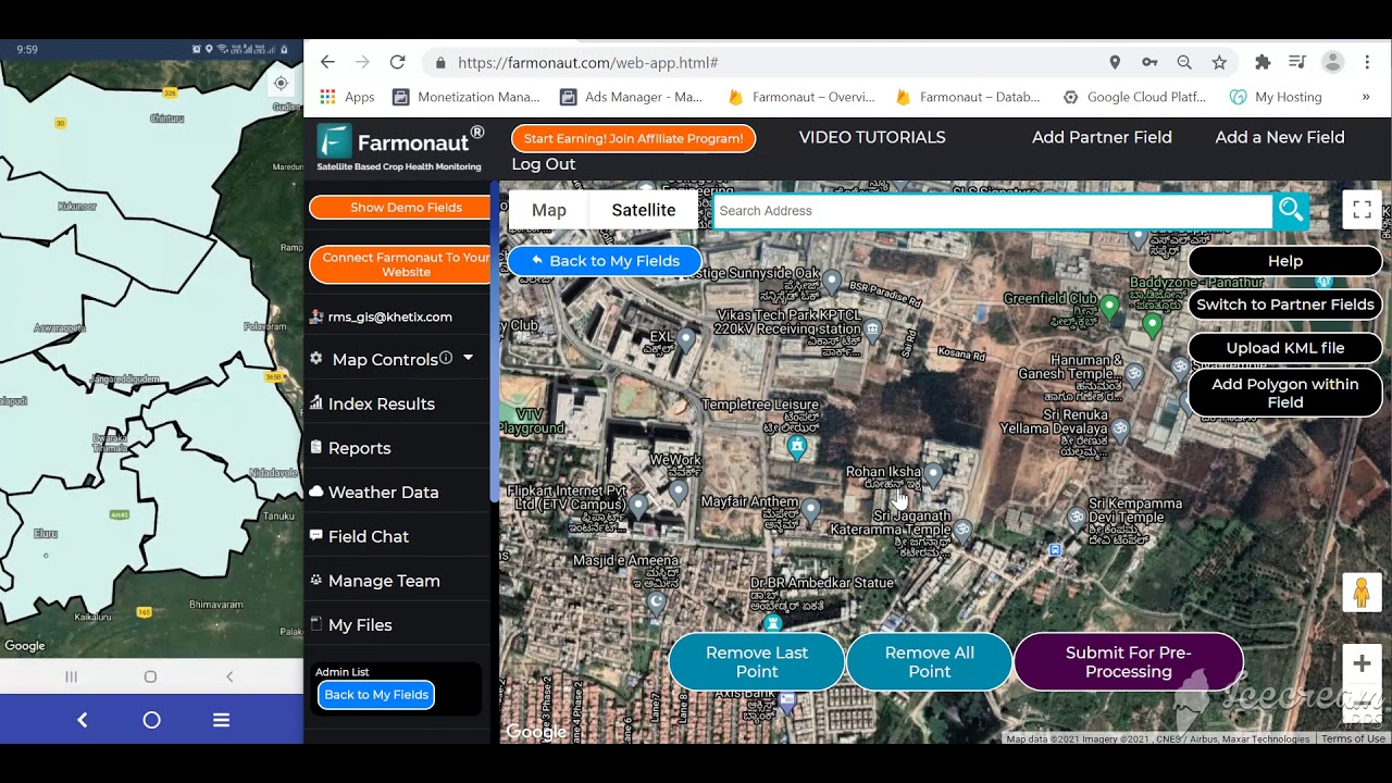
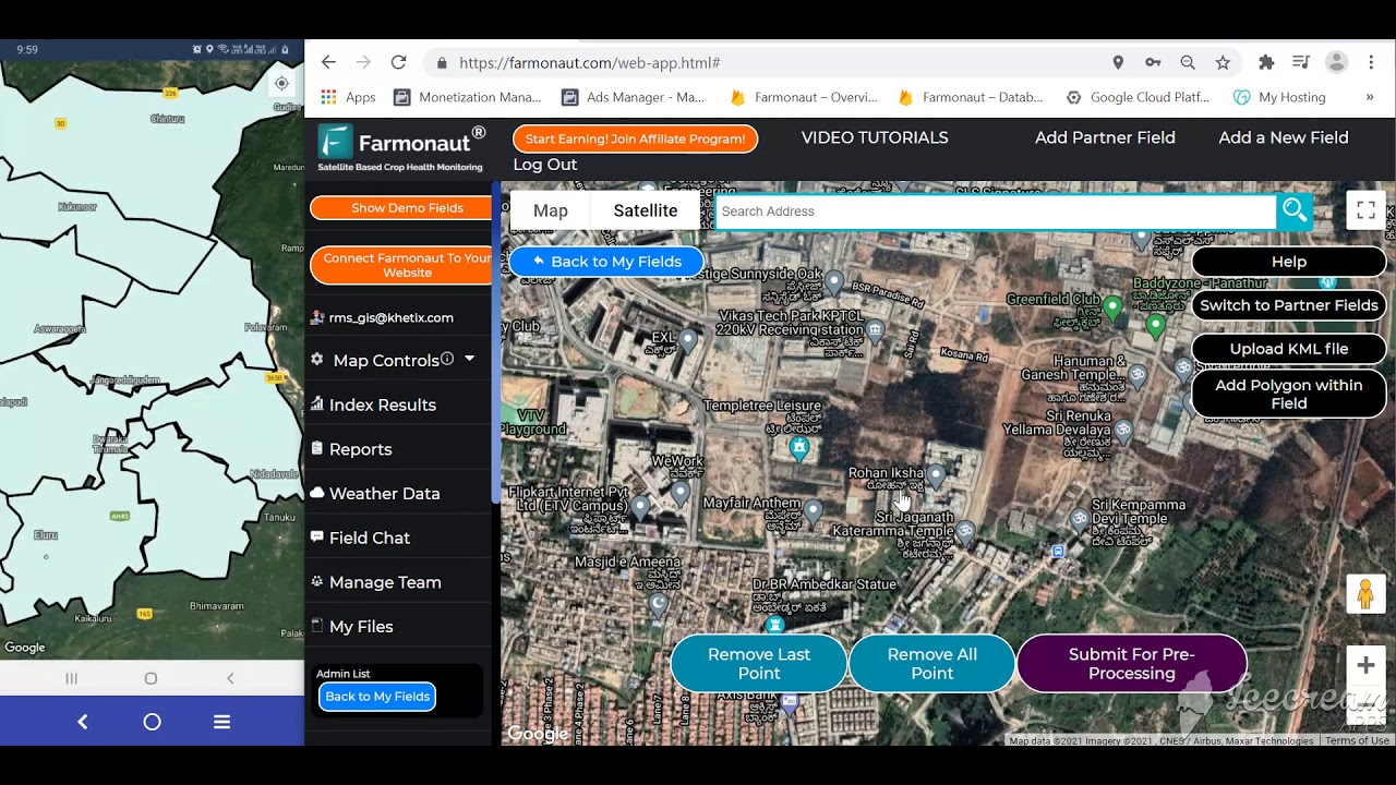
A spray drone executes a treatment; satellite monitoring is what tells you where treatment is needed before the drone ever launches. Farmonaut’s satellite-based crop health monitoring identifies vegetation stress, nutrient variability, and pest-risk zones at the field level, which then defines the zones an AI-guided sprayer targets — turning a blanket pass into the variable-rate application described above.
- Fleet and Resource Management: Fleet Management tools help coordinate drone and ground equipment scheduling to reduce idle time between spraying jobs.
- Crop Loan and Insurance: Satellite-verified field health records support financing and coverage decisions — see Crop Loan and Insurance Solutions.
- Traceability: The Traceability platform documents input application for supply-chain and compliance reporting — increasingly relevant as buyers ask for spray records.
- API access: Developers integrating satellite data into their own spraying or farm management systems can use the Farmonaut API and developer documentation, alongside the broader toolset covered in our farm management software guide.
- Large-scale operations: The Agro Admin App manages resources and drone mission scheduling across multiple fields or client accounts.


Frequently Asked Questions
-
What does ag drone spraying cost per acre?
Drone Launch Academy’s 2026 figures put the average US commercial drone spraying service cost at $13 per acre. That’s the service fee benchmark; get a written quote breakdown for chemical cost and minimum-acreage fees before comparing operators. Iowa State University Extension’s annual Custom Rate Survey is the place to check the current-season benchmark against a specific quote.
-
How is AI for precision spraying different from a standard spray drone?
A standard spray drone flies a pre-set path and rate. AI-guided precision spraying uses onboard sensors and analytics to adjust droplet size, volume, and targeting in real time based on detected crop stress or pest pressure — the mechanism behind the 46–75% pesticide reduction reported in PLOS One’s 2025 field study.
-
How much farmland do drones cover per hour?
Up to 20 acres per hour per unit, according to USDA Economic Research Service figures. Actual daily throughput is lower once refill time, battery swaps, and field transit are factored in — ask any operator for an acres-per-day number, not just acres-per-hour.
-
Do I need a certification to operate a spraying drone commercially?
Yes. Commercial agricultural drone spraying in the US requires an FAA Part 137 Agricultural Aircraft Operator Certificate, which takes a minimum of 120 days to process. As of September 2025, the FAA had certificated 1,710 such operators nationwide.
-
Are there spray drone operators near Champaign or Bloomington, Illinois?
No county-level operator directory for Champaign County or McLean County is published in the sources reviewed for this page. Check the FAA’s Part 137 certificate holder list by state, and contact University of Illinois Extension offices in either county, which often maintain informal custom-applicator referral lists.
-
How much does UAV spraying reduce chemical exposure for the operator?
Peer-reviewed and industry sources cited by Drone Launch Academy report a 90–99% reduction in operator chemical exposure compared with ground-based spray equipment, since the operator controls the aircraft remotely rather than riding on or walking behind the sprayer.
-
How can I integrate satellite data with my spraying equipment?
The Farmonaut API connects satellite-based crop health data directly with drone mission planning systems, so AI-guided sprayers can target zones flagged by satellite imagery rather than treating a field uniformly.
Conclusion
The numbers that matter for evaluating ag spray drones are stable enough to plan around: $13/acre average service cost, 20 acres/hour maximum coverage, a 120-day minimum for FAA Part 137 certification, and a 46–99% range of reduction across pesticide volume and operator exposure depending on which metric you’re optimizing for. What changes year to year is the operator count (1,710 as of September 2025) and the market size ($596.4 million in 2025, projected to $2.59 billion by 2030) — both of which you can re-check against the FAA’s certificate holder list and Market.us’s annual report before making a purchasing or hiring decision.
Whether you’re comparing “precision spraying” providers, checking “uav spraying” regulations, or looking for a “spraying drone” operator near Champaign or Bloomington, the durable method is the same: verify the FAA certificate, get an acres-per-day figure instead of acres-per-hour, and ask what sensor or AI-guidance capability is actually on board before paying for “precision.”






Subscribe to Farmonaut
Ready to unlock the benefits of precision spraying, real-time crop monitoring, and advanced field analytics? Explore Farmonaut’s subscription packages and transform your ag operations:

 Godrej Agrovet
 Hayleys Agriculture
 Linx Agritech
 Adinet
 Save Your Soils
 GalaxEye Space
 Grandstream Algérie
 XOS Realty
 Geospatial Lab Africa
 Agro La Gándara
 HIPSAC
 ZOL Zimbabwe
 Juligerm
 AdBio
AdBio MISE Maroc
 NWNS
NWNS Red August Group
 Farm Inc
 WeMe Global
 Agrotoken
 Blue BearX
 Insignito
 DnCubed
 Indosistim Teknologi
 Liquify Digital
 CU Foods
 BeyondTech Global
 Rouge VC
 AgroRisk
 Oath Inc
 Esri North East Africa
 MDCV UK
 Etech Consulting Madagascar
 Vestlandsforsking
 WB Dev
 Sama Premium
 Tres Valles
 Blickwinkel
 Agricultural Credit Policy Council
 eKGIS
eKGIS Mostas Tech
 Andex
Andex Deluxe Conseil
 WICO
WICO Chimera Innovation
 SkyHarvest
 Teledarbas
 Exurbia Geospatial
 FieldZero
