

Drone Farming: 7 Ways Drones Revolutionize Agriculture
“Over 7 unique drone applications are transforming agriculture, from crop monitoring to precision data collection, revolutionizing traditional farming methods.”
Introduction: The Dawn of Drone Farming
Drone farming, also referred to as unmanned aerial vehicle (UAV) agriculture, is rapidly redefining how we manage, monitor, and optimize agricultural operations. Thanks to advances in drone technology and precision farming techniques, we now have the capacity to collect comprehensive data from our fields and take informed actions that boost efficiency, reduce costs, and foster sustainable agriculture practices.
By leveraging drones—equipped with high-resolution cameras, multispectral sensors, and advanced data processing tools—farmers can seamlessly analyze crop health, assess soil moisture, manage pests, and even automate the application of fertilizers and pesticides. This revolution in agricultural drone applications isn’t just about adding machines to fields; it’s about integrating data-driven intelligence into every aspect of farming for superior yields and sustainability.
In this comprehensive guide, we explore seven transformative ways drones are revolutionizing modern agriculture, unlocking unprecedented benefits while addressing common industry challenges.
Top 7 Agricultural Drone Applications
The integration of drone technology in agriculture has introduced innovative solutions that make farming more precise, efficient, and data-focused than ever. Here are the seven leading ways drones are transforming agricultural operations:
- Crop Monitoring & Health Assessment
- Precision Spraying
- Soil & Field Analysis
- Irrigation Management
- Disaster Management
- Yield Estimation & Resource Planning
- Surveillance & Security
1. Crop Monitoring & Health Assessment using Drones
One of the primary advantages of drones in agriculture is their capability for precise crop monitoring using drones. Drones equipped with advanced cameras and multispectral sensors provide real-time, high-resolution images, enabling the detailed assessment of plant health, detection of early signs of stress, disease, or nutrient deficiencies. This early detection facilitates timely interventions and prevents yield losses, exemplifying the potential of precision farming with drones.
- What drones enable: Real-time field scanning and monitoring for anomalies like pest attack, water stress, or disease outbreaks.
- Technologies used: Multispectral cameras, NDVI analysis, AI-powered assessment algorithms.
- Benefits: Early detection leads to more efficient resource management and increased yields.
2. Precision Spraying: Targeted Input Application
Drones in precision spraying automate the targeted application of pesticides, herbicides, and fertilizers. With GPS-guidance, these UAVs deliver treatments directly to affected areas, reducing chemical usage while minimizing environmental impact. Drones enable a precision approach, limiting over-application and significantly decreasing labor costs.
- What’s automated: Pesticide, herbicide, and fertilizer spraying operations tailored to mapped problem zones.
- Advantages: Reduces chemical usage by up to 30%, conserves inputs, and safeguards environment.
- Operator safety: Limits human exposure to chemicals and harsh field conditions.
3. Soil & Field Analysis Powered by Drone Data
Drone soil analysis delivers a revolution in pre-planting field assessment. By capturing aerial imagery and generating 3D maps, drones can estimate soil health, analyze nutrient and moisture levels, and map out variations in field conditions. Farmers can use this information to make better planting decisions and optimize input application, ensuring cost-effective and sustainable agricultural practices.
- Insight gained: Soil type identification, nutrient distribution mapping, compaction analysis, and assessment of moisture variability.
- Implementation: Helps create variable rate application maps and ensures optimal seed and fertilizer placement.
4. Irrigation Management with Thermal-Sensor Drones
Drone irrigation management comes to the forefront with specialized thermal cameras on drones, which detect subtle variations in soil moisture levels. This allows for hyper-targeted irrigation, addressing water stress before visible symptoms occur, conserving our valuable water resources and ensuring healthier crop growth.
- Advantages: Reduces water wastage and lowers costs by limiting over-irrigation.
- Farm sustainability: Promotes resilient farming in water-scarce regions, supporting sustainable agriculture practices.
5. Drone-Supported Disaster Management & Recovery
During natural disasters like floods, droughts, or pest outbreaks, drones offer rapid, real-time situational assessments. Using high-resolution imagery, farmers can assess damage, map affected zones, and prioritize recovery strategies. This immediate disaster management capability accelerates recovery, helping protect both crop yields and farm investments.
- Advantages: Swift, actionable insights post-disaster; minimizes further losses.
- Data collected: Damage mapping, pest population assessment, yield loss estimation.
6. Yield Estimation & Resource Planning
Drones equipped with specialized sensors and software can provide accurate yield estimations and monitor growth patterns throughout the season. This enables optimal resource allocation, helps with future crop planning, and assists in data-driven project management across large-scale farms.
- Decision support: Accurate forecasting to plan harvest logistics, storage requirements, and market strategies.
- Resource efficiency: Data-driven planning that saves on wasted inputs and labor costs.
7. Surveillance & Farm Security Automation
Security drones offer a new dimension in field surveillance. Regular patrols deter theft, monitor the perimeter, and can spot unauthorized activities or incursions—securing valuable assets and ensuring continuous monitoring of remote or large fields.
- Automation benefit: Reduced need for manual field checks.
- Peace of mind: Real-time alerts and video feeds boost responsiveness, guarding against crop or equipment losses.
Visual Insights: Drone Revolution in Action
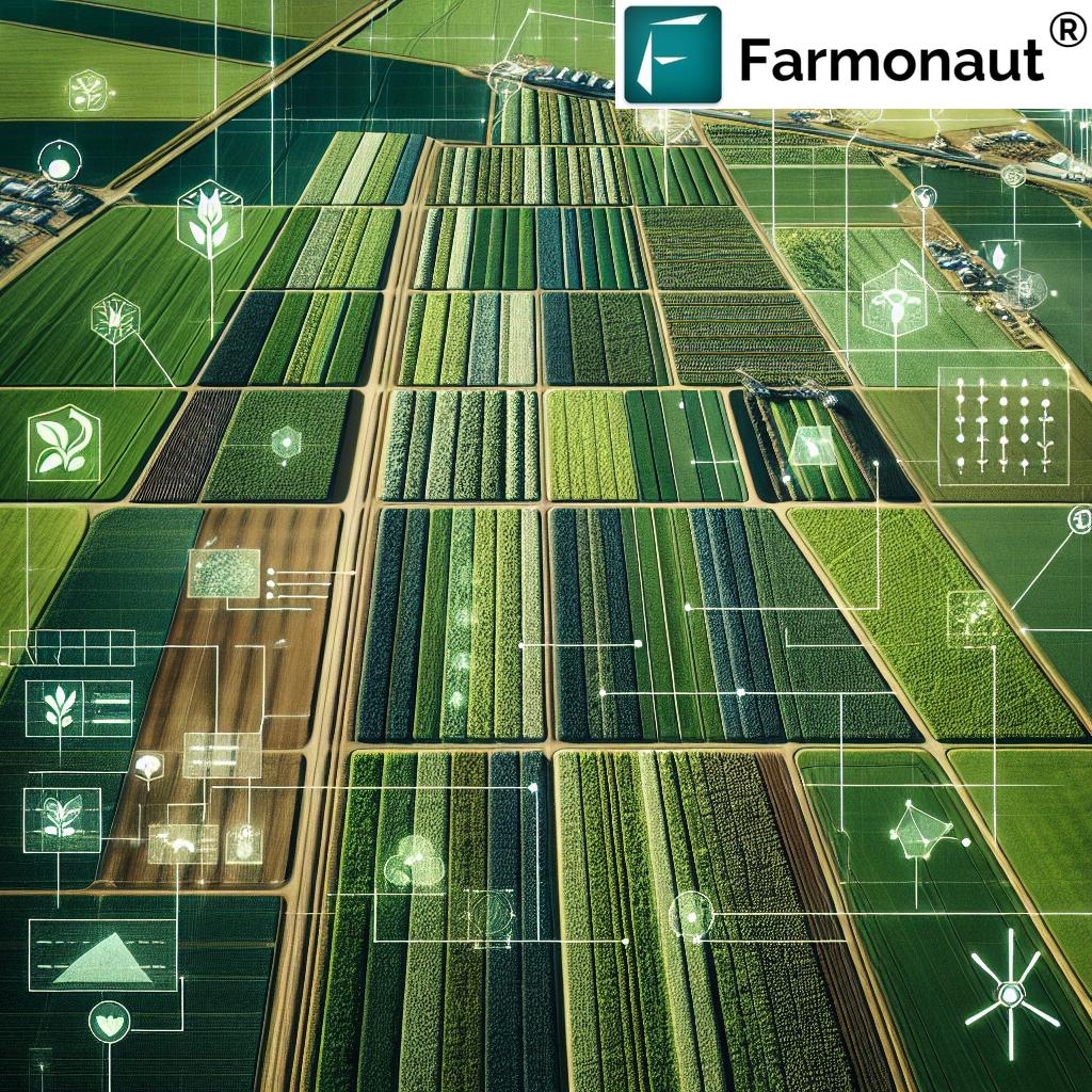
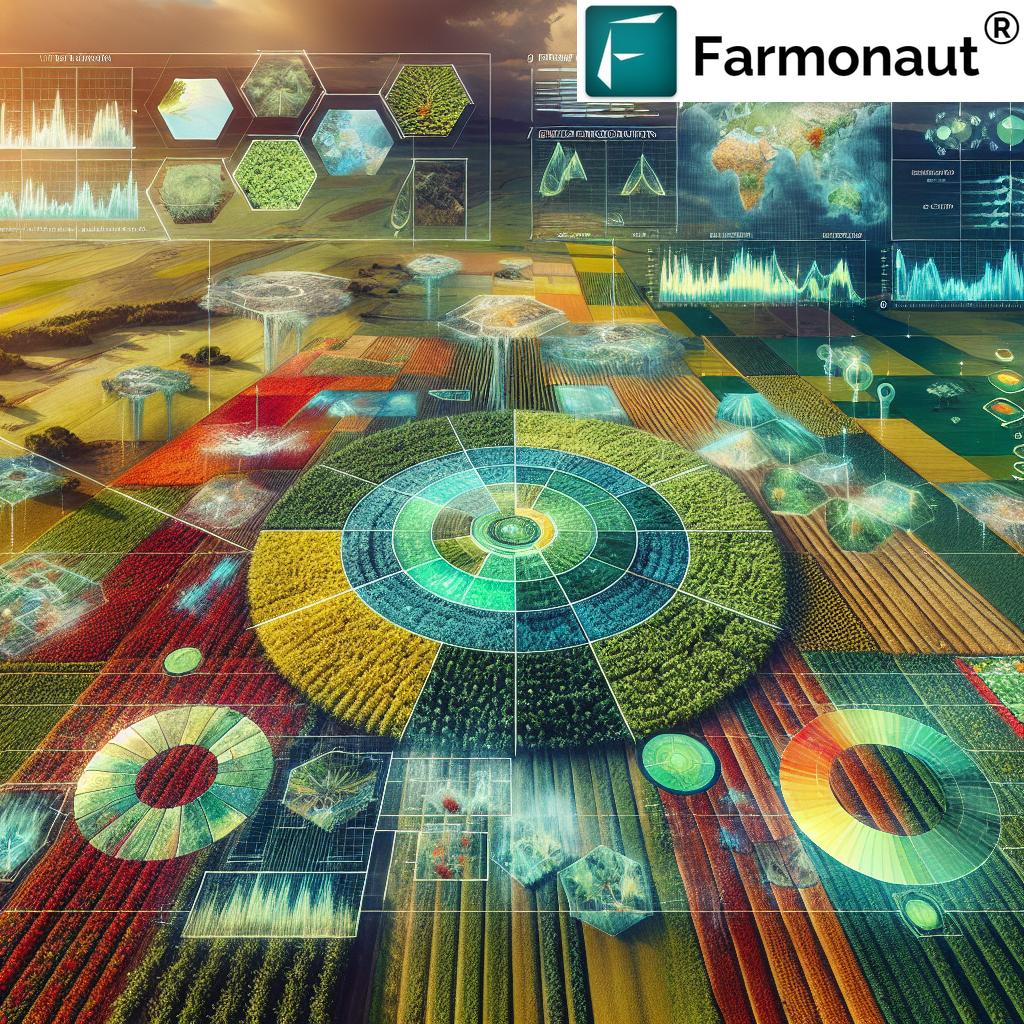
Comparative Benefits and Impact Table: 7 Drone Applications in Agriculture
| Drone Application | Estimated Benefit | Challenge Addressed | Brief Description |
|---|---|---|---|
| Crop Monitoring & Health Assessment | +10%-15% yield from early intervention |
Unnoticed disease/stress leading to losses | Detects issues like disease, water/nutrient deficiency in real-time, enabling precision interventions. |
| Precision Spraying | Up to 30% reduced chemical input 60% faster application |
Over-application and manual labor cost | Automates targeted spraying for optimal crop protection and resource usage. |
| Soil & Field Analysis | 20% more efficient planting Input savings (seeds, fertilizer) |
Manual surveys are limited and inconsistent | Creates detailed maps of soil health and variability for optimal planning. |
| Irrigation Management | Saves up to 25% water 10% increase in crop health |
Water wastage and under-/over-irrigation | Thermal sensors identify moisture variability for precise, efficient water use. |
| Disaster Management | Quicker recovery decisions Minimized losses |
Slow, post-event assessment delays | Rapidly assesses damage and aids in effective planning post-disaster. |
| Yield Estimation & Resource Planning | Accurate predictions 5-10% input savings |
Inefficient resource allocation, poor planning | Forecasts yield and guides planning for labor, logistics, and marketing. |
| Surveillance & Security Automation | Reduced theft and vandalism Less manual patrolling |
Vulnerable assets, costly security | Monitors fields, protects assets, and alerts for security breaches. |
Key Benefits of Drone-Facilitated Precision Farming
Drone technology in agriculture extends far beyond novelty—it delivers tangible results across efficiency, sustainability, and profitability. Here is how agricultural drone applications are shaping the future of farming:
- Increased Efficiency: Drones automate time-consuming tasks across large fields, such as spraying, monitoring, and surveying—reducing operational hours and increasing coverage.
- Cost Reduction: While the initial investment may seem steep, precision application and targeted input usage drive long-term cost savings (on labor, chemicals, fertilizers, and water).
- Environmental Impact: Targeted spraying, optimized irrigation, and data-driven field management mean fewer chemicals leach into soil and waterways, and less water is wasted, promoting sustainable agriculture practices.
- Data-Driven Decision Making: Access to high-resolution aerial data and regular field assessment empowers farmers to make intelligent, evidence-based decisions.
- Timely Intervention: Early detection of stress, disease, or deficiency enables timely interventions that prevent larger crop failures and yield losses.
- Improved Traceability & Transparency: Enhanced record-keeping and data streams support blockchain-based traceability for supply chain credibility or compliance with certification and market demands.
- Resource Optimization: By analyzing soil moisture levels, crop health, and input performance, drones enable tailored input usage for maximized productivity per hectare.
Farmonaut: Advancing Precision, Sustainability, and Data Management in Agriculture
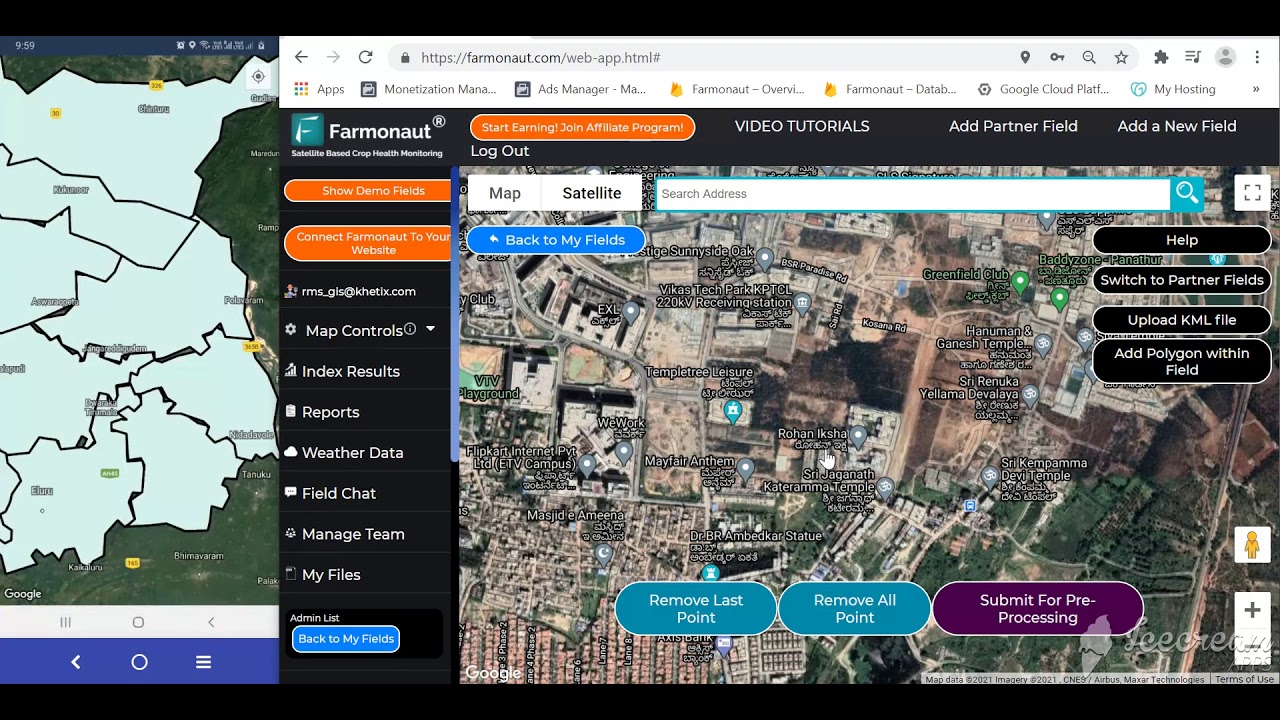
At Farmonaut, our mission is to make precision agriculture affordable and accessible to farmers globally. We achieve this by integrating innovative technology, including advanced satellite imaging, artificial intelligence, blockchain traceability, and tailored field data management into everyday agricultural practices.
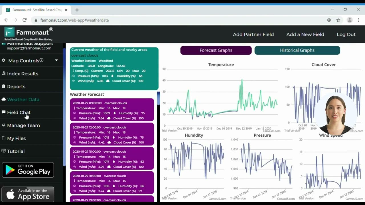
- Satellite-Based Crop Health Monitoring: By utilizing multispectral satellite images, we help farmers gain real-time insights into crop health monitoring, soil moisture, and nutrient variability—empowering smarter decisions on large scale farm management solutions.
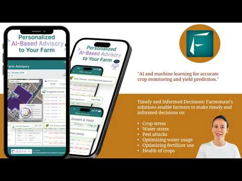
- Jeevn AI Advisory System: Our AI-driven advisory platform delivers customized, actionable advice for each farm. It digests weather data, crop status, and field history, offering interventions that increase efficiency and yields.
- Blockchain Traceability: Our platform supports end-to-end traceability, helping agribusinesses and food brands guarantee supply chain transparency and consumer trust.
- Fleet & Resource Management: Our fleet management tool enables agribusinesses to efficiently coordinate logistics, optimize machinery use, and reduce fleet-related costs.
- Carbon Footprinting: The carbon footprint tracking feature helps monitor environmental impact and map out steps toward regulatory compliance and truly sustainable operations.
- Crop Loan & Insurance: Banks and insurers can leverage our satellite-based verification to simplify crop loan approval and improve claims accuracy.
-
Mobile & Web Accessibility: Our services are available via Android, iOS, web app, and API, ensuring ease-of-use and multi-device access worldwide.
Try it now:



- Developer Access: For developers and agri-enterprises, our Farmonaut Satellite and Weather API (with detailed documentation) offers seamless integration into custom dashboards or enterprise resource planning (ERP) systems.
By making advanced data and analytics easily accessible to farmers of all scales, Farmonaut is redefining data-driven sustainable agriculture practices for this generation—and the next.
Farmonaut Apps & Product Links
- Carbon Footprinting—Monitor and reduce your field’s environmental impact with satellite-based carbon emissions tracking.
- Product Traceability—Ensure supply chain transparency using blockchain-backed solutions, vital for food safety and compliance.
- Crop Loan and Insurance—Expedite bank loan approvals and insurance settlements with satellite imagery for verification.
- Fleet Management—Maximize return on machinery, track usage, and reduce fleet maintenance expenses.
- Large Scale Farm Management—Coordinate multi-field operations, schedule tasks, and monitor field performance via an advanced, integrated platform.
- Crop Plantation & Forest Advisory—Leverage advanced insights for plantation, forest, or orchard management.
“Drone usage in agriculture has increased by more than 30% globally in the past five years, showcasing rapid technological adoption.”
Challenges and Considerations in Drone Farming
Despite the immense benefits and promise, the adoption of drone technology in agriculture is accompanied by unique challenges and operational considerations:
- High Initial Investment & Operational Costs: While drones offer long-term savings, the upfront purchase, maintenance, and repair costs can be significant, especially for small to medium-sized farms.
- Regulatory Constraints & Airspace Restrictions: Operating drones in agriculture often requires navigating complex government regulations, airspace restrictions, and obtaining specific operator permits. Non-compliance can result in operational delays or fines.
- Technical Limitations & Skilled Labor: Successful deployment requires skilled operators with expertise in UAV piloting and data analysis. Battery life, payload, and weather-resilience also currently limit large-scale applications.
- Farming Data Management: Drones generate massive volumes of field imagery and sensor readings. Without advanced software, this data quickly becomes overwhelming. Efficient storage, processing, and actionable analysis demand specialized platforms and analytic expertise.
- Weather Dependency: Drones are highly dependent on favorable weather. Conditions such as rain, wind, or fog can ground drone operations, introducing unpredictability in time-sensitive farm activities.
How Technology is Addressing These Challenges
– The agricultural industry continues to evolve, with technological advancements in AI, battery life, and automation making drone solutions more accessible, powerful, and reliable each year.
– Cloud-based processing is easing the burden of farming data management, transforming raw sensor data into user-friendly recommendations.
– Improved training programs and affordable subscription platforms (like Farmonaut) are lowering barriers to entry for farmers at every scale.
The Future of Drone Technology in Agriculture
As we look ahead, it’s clear that drone farming will occupy an increasingly central role in the evolution of global agriculture. Here’s what the near future holds:
- Advancements in Drones & AI: Next-generation drones will feature longer battery life, improved payload capacity, and deeper data integration with AI for real-time, in-field decision making.
- Wider Adoption: Falling costs, better support tools, and subscription models will speed up precision farming with drones among smaller farms and in developing nations.
- Smart Regulatory Frameworks: Governments are recognizing the value of drones in sustainable agriculture practices and are building more flexible, secure frameworks for their use.
- Comprehensive Farm Management: The combination of satellite, aerial, and ground-based sensing will drive the era of true digital farming, maximizing both yield and sustainability.
- Global Food Security: By optimizing resource usage, reducing environmental impact, and boosting productivity, advanced farming technology like drones can play an essential role in feeding a growing world population under changing climates.
At Farmonaut, our commitment is to harness these technological breakthroughs to empower farmers, improve productivity, and enable sustainable management of our planet’s rarest resources.
Frequently Asked Questions (FAQ) on Drone Farming & Technology
-
Q: What is the main benefit of using drones in agriculture?
A: Drones bring unparalleled value through real-time data collection, crop health monitoring, optimized input application, and rapid disaster assessment, all driving greater efficiency and sustainability.
-
Q: Can drone farming help reduce use of chemicals and water on my farm?
A: Yes, drones enable precise application of pesticides, fertilizers, and irrigation water, which dramatically reduces chemical overuse and water wastage.
-
Q: Are there any major challenges with adopting drone technology in agriculture?
A: While benefits are significant, challenges include high initial investment, regulatory hurdles, need for skilled operators, and the unpredictable impact of weather on UAV operations.
-
Q: How does Farmonaut support precision farming beyond drone use?
A: We provide a robust satellite-based platform that delivers insights on crop health, resource management, weather analysis, and even carbon footprint tracking. Our platform is accessible via web, mobile apps, and APIs.
-
Q: What data can I get from drones or satellite monitoring with Farmonaut?
A: Our services offer multispectral crop health monitoring (NDVI, NDRE), soil moisture evaluation, growth stage mapping, resource use tracking, and tailored farm management recommendations.
-
Q: Is drone farming accessible for small-scale farmers?
A: Thanks to evolving service providers and affordable subscription platforms (like Farmonaut), drone and satellite data-driven farming is now increasingly accessible for small to mid-sized operations.
-
Q: Where can I learn more about advanced data-driven agriculture solutions?
A: We encourage you to explore our advanced technologies and solutions via our web and mobile apps.
Farmonaut Subscription Plans
Ready to implement precision agriculture and experience the revolution in drone and satellite-based farm management? Choose from our flexible subscription plans tailored for your needs below.
Conclusion: The New Era of Technological Agriculture
Drone farming marks a transformative leap from human intuition to data-powered, precision-driven management in agriculture. The seven leading agricultural drone applications—spanning crop monitoring, spraying, soil analysis, irrigation, disaster management, yield forecasting, and security automation—are accelerating productivity while supporting environmental stewardship.
As agricultural drone technology and precision farming mature, we will continue to see improved accessibility, smarter automation, and seamless integration with platforms like Farmonaut for ongoing impact in efficiency, sustainability, and profitability.
Unlock the power of advanced farming technology—monitor, manage, and maximize your fields from anywhere, with real-time data at your fingertips. Join the agricultural revolution now.

 Disease Free Life
 WebsEdge
 Blickwinkel
 Agricultural Credit Policy Council
 BayWa
BayWa MCSOD
MCSOD Marei Nursery
 eKGIS
eKGIS Mostas Tech
 Native Seeds
 Andex
Andex FCF India
 Unifrutti Gulf
 Deluxe Conseil
 TVS Electronics
 WICO
WICO Chimera Innovation
